8111 Black Percher St Conroe, TX 77385
Estimated Value: $345,605 - $423,000
--
Bed
--
Bath
2,165
Sq Ft
$181/Sq Ft
Est. Value
About This Home
This home is located at 8111 Black Percher St, Conroe, TX 77385 and is currently estimated at $391,651, approximately $180 per square foot. 8111 Black Percher St is a home with nearby schools including Suchma Elementary School, Irons J High School, and Oak Ridge High School.
Ownership History
Date
Name
Owned For
Owner Type
Purchase Details
Closed on
Feb 27, 2014
Sold by
Mhi Partnership Ltd
Bought by
Adamson David Earl and Adamson Linda Kay
Current Estimated Value
Home Financials for this Owner
Home Financials are based on the most recent Mortgage that was taken out on this home.
Original Mortgage
$144,777
Outstanding Balance
$110,275
Interest Rate
4.47%
Mortgage Type
New Conventional
Estimated Equity
$281,376
Purchase Details
Closed on
Jul 15, 2013
Sold by
Fmr Land Holdings Llc
Bought by
Adamson David E and Adamson Linda K
Purchase Details
Closed on
Feb 18, 2013
Sold by
242 Llc
Bought by
Adamson David E and Adamson Linda K
Create a Home Valuation Report for This Property
The Home Valuation Report is an in-depth analysis detailing your home's value as well as a comparison with similar homes in the area
Home Values in the Area
Average Home Value in this Area
Purchase History
| Date | Buyer | Sale Price | Title Company |
|---|---|---|---|
| Adamson David Earl | -- | Millennium Title Co | |
| Adamson David E | -- | -- | |
| Adamson David E | -- | -- |
Source: Public Records
Mortgage History
| Date | Status | Borrower | Loan Amount |
|---|---|---|---|
| Open | Adamson David Earl | $144,777 |
Source: Public Records
Tax History Compared to Growth
Tax History
| Year | Tax Paid | Tax Assessment Tax Assessment Total Assessment is a certain percentage of the fair market value that is determined by local assessors to be the total taxable value of land and additions on the property. | Land | Improvement |
|---|---|---|---|---|
| 2025 | $4,216 | $362,095 | $35,598 | $326,497 |
| 2024 | $889 | $342,760 | -- | -- |
| 2023 | $889 | $311,600 | $35,600 | $379,260 |
| 2022 | $8,134 | $283,270 | $35,600 | $275,830 |
| 2021 | $7,748 | $257,520 | $35,600 | $222,780 |
| 2020 | $7,393 | $234,110 | $35,600 | $198,510 |
| 2019 | $8,213 | $251,600 | $35,600 | $216,000 |
| 2018 | $6,453 | $233,600 | $35,600 | $198,000 |
| 2017 | $7,846 | $237,630 | $35,600 | $202,030 |
| 2016 | $8,898 | $269,480 | $35,600 | $235,090 |
| 2015 | $4,326 | $244,980 | $35,600 | $209,380 |
| 2014 | $4,326 | $128,030 | $35,600 | $92,430 |
Source: Public Records
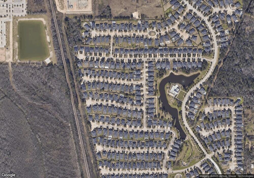
Map
Nearby Homes
- 8115 Spreadwing St
- 8143 Black Percher St
- 8126 Little Scarlet St
- 8186 Laughing Falcon Trail
- 17026 Harpers Way
- 8231 Horsetail Ct
- 17254 Rookery Ct
- 8320 Greenleaf Ridge Way
- 17583 Harper's Way
- 17128 Spindle Oaks Dr
- 9253 Inland Leather Ln
- 9622 Blue Water Hyssop
- 6342 Big Oaks Dr
- TBC/ Spindle Oaks
- 9291 Inland Leather Ln
- 17542 Rosette Grass Dr
- 17129 Sprawling Oaks Dr
- 17610 Rosette Grass Dr
- 494 S Centro Cir
- 17058 Gleneagle Dr S
- 8107 Black Percher St
- 8115 Black Percher St
- 8119 Black Percher St
- 17144 Knoll Dale Trail
- 8139 Spreadwing St
- 17148 Knoll Dale Trail
- 8131 Spreadwing St
- 8123 Black Percher St
- 8106 Black Percher St
- 8110 Black Percher St
- 8127 Spreadwing St
- 17152 Knoll Dale Trail
- 8114 Black Percher St
- 17136 Knoll Dale Trail
- 8118 Black Percher St
- 17156 Knoll Dale Trail
- 8123 Spreadwing St
- 8122 Black Percher St
- 17132 Knoll Dale Trail
- 17145 Knoll Dale Trail