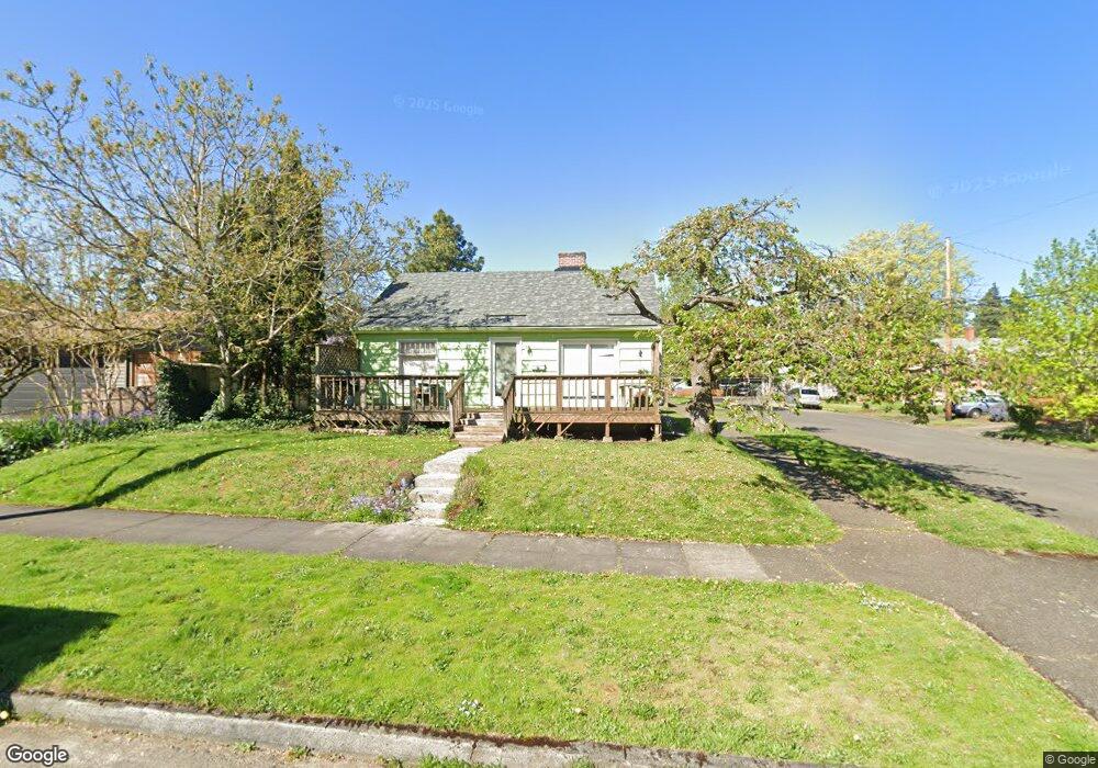
8111 N Dwight Ave Portland, OR 97203
Portsmouth NeighborhoodEstimated Value: $344,000 - $451,824
2
Beds
1
Bath
720
Sq Ft
$574/Sq Ft
Est. Value
About This Home
This home is located at 8111 N Dwight Ave, Portland, OR 97203 and is currently estimated at $413,206, approximately $573 per square foot. 8111 N Dwight Ave is a home located in Multnomah County with nearby schools including Astor Elementary School, Roosevelt High School, and Shining Star Waldorf School.
Ownership History
Date
Name
Owned For
Owner Type
Purchase Details
Closed on
Nov 26, 1996
Sold by
Burleson David W
Bought by
Grindle Michael L
Current Estimated Value
Home Financials for this Owner
Home Financials are based on the most recent Mortgage that was taken out on this home.
Original Mortgage
$71,350
Outstanding Balance
$7,390
Interest Rate
7.91%
Mortgage Type
Purchase Money Mortgage
Estimated Equity
$405,816
Purchase Details
Closed on
Oct 9, 1991
Sold by
Mcallister Virginia
Bought by
Burleson David W
Create a Home Valuation Report for This Property
The Home Valuation Report is an in-depth analysis detailing your home's value as well as a comparison with similar homes in the area
Home Values in the Area
Average Home Value in this Area
Purchase History
| Date | Buyer | Sale Price | Title Company |
|---|---|---|---|
| Grindle Michael L | $73,600 | First American Title Ins Co | |
| Burleson David W | $25,000 | First American Title Ins Co |
Source: Public Records
Mortgage History
| Date | Status | Borrower | Loan Amount |
|---|---|---|---|
| Open | Grindle Michael L | $71,350 |
Source: Public Records
Tax History Compared to Growth
Tax History
| Year | Tax Paid | Tax Assessment Tax Assessment Total Assessment is a certain percentage of the fair market value that is determined by local assessors to be the total taxable value of land and additions on the property. | Land | Improvement |
|---|---|---|---|---|
| 2024 | $2,852 | $106,590 | -- | -- |
| 2023 | $2,742 | $103,490 | $0 | $0 |
| 2022 | $2,683 | $100,480 | $0 | $0 |
| 2021 | $2,638 | $97,560 | $0 | $0 |
| 2020 | $2,420 | $94,720 | $0 | $0 |
| 2019 | $2,331 | $91,970 | $0 | $0 |
| 2018 | $2,263 | $89,300 | $0 | $0 |
| 2017 | $2,169 | $86,700 | $0 | $0 |
| 2016 | $1,985 | $84,180 | $0 | $0 |
| 2015 | $1,933 | $81,730 | $0 | $0 |
| 2014 | $1,903 | $79,350 | $0 | $0 |
Source: Public Records
Map
Nearby Homes
- 8301 N Newman Ave
- 8227 N Woolsey Ave
- 8351 N Newman Ave
- 8355 N Newman Ave
- 7939 N Dana Ave
- 8162 N Druid Ave
- 8615 N Fiske Ave
- 7464 N Olin Ave
- 4305 N Willis Blvd
- 8526 N Haven Ave
- 7453 N Stockton Ave
- 5038 N Vanderbilt St
- 7439 N Huron Ave
- 7406 N Fiske Ave
- 7318 N Olin Ave
- 5215 N Willis Blvd Unit 5219
- 5106 N Bowdoin St
- 4409 N Houghton St
- 5043 N Oberlin St
- 8409 N Gloucester Ave
- 8035 N Dwight Ave
- 8110 N Newman Ave
- 8100 N Newman Ave
- 8205 N Dwight Ave
- 8032 N Newman Ave
- 8204 N Newman Ave
- 8112 N Dwight Ave
- 8102 N Dwight Ave
- 8217 N Dwight Ave
- 8015 N Dwight Ave Unit 8019
- 8038 N Dwight Ave
- 8214 N Newman Ave
- 8014 N Newman Ave
- 8204 N Dwight Ave
- 8030 N Dwight Ave
- 8020 N Dwight Ave
- 8223 N Dwight Ave
- 8216 N Dwight Ave
- 8111 N Newman Ave
- 8012 N Newman Ave