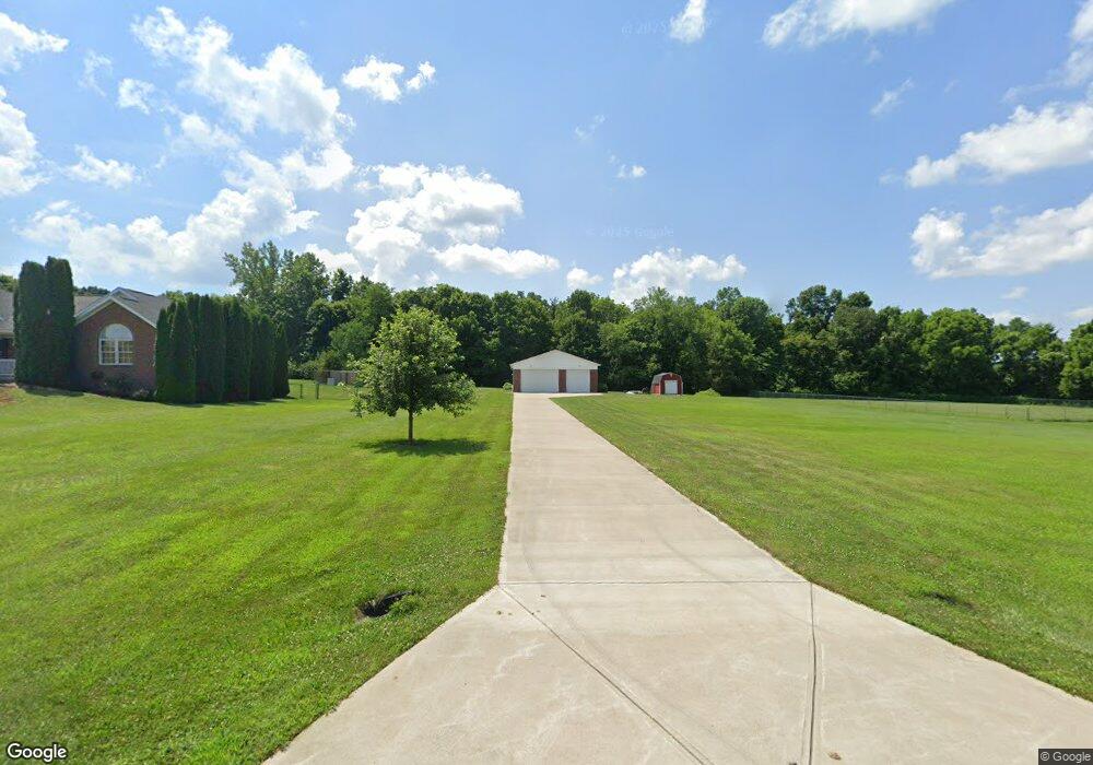
8113 Cedar Run Dr Martinsville, IN 46151
Estimated Value: $228,000 - $380,000
--
Bed
--
Bath
--
Sq Ft
1.15
Acres
About This Home
This home is located at 8113 Cedar Run Dr, Martinsville, IN 46151 and is currently estimated at $304,000. 8113 Cedar Run Dr is a home located in Morgan County with nearby schools including Martinsville High School.
Ownership History
Date
Name
Owned For
Owner Type
Purchase Details
Closed on
Dec 21, 2016
Sold by
Batis Matthew J and Batis Amy L
Bought by
Yeo Andrew H and Yeo Cecilia M
Current Estimated Value
Home Financials for this Owner
Home Financials are based on the most recent Mortgage that was taken out on this home.
Original Mortgage
$255,200
Interest Rate
4%
Mortgage Type
Adjustable Rate Mortgage/ARM
Purchase Details
Closed on
Mar 14, 2014
Sold by
Gay David A and Hughes Gay Marsha
Bought by
Batis Matthew J and Batis Amy L
Home Financials for this Owner
Home Financials are based on the most recent Mortgage that was taken out on this home.
Original Mortgage
$147,000
Interest Rate
4.24%
Mortgage Type
New Conventional
Purchase Details
Closed on
Jul 13, 2007
Sold by
Cole John W and Cole Shirley A
Bought by
Gay David and Hughse Gay Marsha
Home Financials for this Owner
Home Financials are based on the most recent Mortgage that was taken out on this home.
Original Mortgage
$26,500
Interest Rate
6.42%
Mortgage Type
Unknown
Create a Home Valuation Report for This Property
The Home Valuation Report is an in-depth analysis detailing your home's value as well as a comparison with similar homes in the area
Home Values in the Area
Average Home Value in this Area
Purchase History
| Date | Buyer | Sale Price | Title Company |
|---|---|---|---|
| Yeo Andrew H | -- | Chicago Title Company Llc | |
| Batis Matthew J | -- | None Available | |
| Gay David | -- | -- |
Source: Public Records
Mortgage History
| Date | Status | Borrower | Loan Amount |
|---|---|---|---|
| Previous Owner | Yeo Andrew H | $255,200 | |
| Previous Owner | Batis Matthew J | $147,000 | |
| Previous Owner | Gay David | $26,500 |
Source: Public Records
Tax History Compared to Growth
Tax History
| Year | Tax Paid | Tax Assessment Tax Assessment Total Assessment is a certain percentage of the fair market value that is determined by local assessors to be the total taxable value of land and additions on the property. | Land | Improvement |
|---|---|---|---|---|
| 2024 | $663 | $65,400 | $27,800 | $37,600 |
| 2023 | $653 | $66,000 | $27,800 | $38,200 |
| 2022 | $706 | $80,700 | $27,800 | $52,900 |
| 2021 | $599 | $70,500 | $27,800 | $42,700 |
| 2020 | $567 | $69,300 | $27,800 | $41,500 |
| 2019 | $553 | $62,400 | $26,100 | $36,300 |
| 2018 | $408 | $61,200 | $26,100 | $35,100 |
| 2017 | $247 | $29,000 | $28,500 | $500 |
| 2016 | $259 | $29,000 | $28,500 | $500 |
| 2014 | $204 | $28,500 | $28,500 | $0 |
| 2013 | $204 | $28,500 | $28,500 | $0 |
Source: Public Records
Map
Nearby Homes
- 8205 Mcwhorter Rd
- 8405 Mcwhorter Rd
- 8385 Mcwhorter Rd
- 901 Carter Rd
- 8577 State Road 44
- 7813 W 50 S
- 0 Skunk Hollow Rd
- Tract 3 Skunk Hollow Rd
- Tract 2 Skunk Hollow Rd
- 0 Banta Rd Unit MBR21966792
- 4360 Williams Rd
- 1156 Cope Rd
- 7303 W Division Rd
- 583 Old Moore Ln
- TBD Maple Grove Rd
- 0 Old Moore Rd
- 7975 New Harmony Rd
- 7158 New Harmony Rd
- 8000 New Harmony Rd
- 600 Old Moore Rd
- 8131 Cedar Run Dr
- 8161 Cedar Run Dr
- 8130 Cedar Run Dr
- 0 Cedar Run Dr
- 8124 Cedar Run Dr
- 8231 Cedar Run Dr
- 8175 Cedar Run Dr
- 8410 Mcwhorter Rd
- 8108 Cedar Run Dr
- 8134 Cottonwood Dr
- 8191 Cedar Run Dr
- 8155 Cottonwood Dr
- 8131 Cottonwood Dr
- 8280 Mcwhorter Rd
- 1 Mcwhorter Rd
- 1982 Mcwhorter Rd
- 8205 Cedar Run Dr
- 8169 Cottonwood Dr
- 8222 Cedar Run Dr