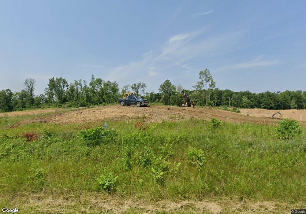
8113 Price Rd Ravenna, OH 44266
Estimated Value: $388,000 - $482,502
5
Beds
1
Bath
1,472
Sq Ft
$296/Sq Ft
Est. Value
About This Home
This home is located at 8113 Price Rd, Ravenna, OH 44266 and is currently estimated at $435,251, approximately $295 per square foot. 8113 Price Rd is a home located in Portage County with nearby schools including Crestwood Primary School, Crestwood Intermediate School, and Crestwood Middle School.
Ownership History
Date
Name
Owned For
Owner Type
Purchase Details
Closed on
Dec 5, 2016
Sold by
Wenrich Robert E (Trustee)
Bought by
Rodney A Wenrich
Current Estimated Value
Purchase Details
Closed on
Dec 3, 2012
Sold by
Osborne Jay H and Osborne Ruth A
Bought by
Wenrich Robert E and Robert E Wenrich Trust
Purchase Details
Closed on
Aug 19, 2002
Sold by
Grubb William M and Grubb Alice M
Bought by
Osborne Jay H and Osborne Ruth A
Purchase Details
Closed on
Jan 1, 1990
Bought by
Grubb William and Grubb Alice
Create a Home Valuation Report for This Property
The Home Valuation Report is an in-depth analysis detailing your home's value as well as a comparison with similar homes in the area
Home Values in the Area
Average Home Value in this Area
Purchase History
| Date | Buyer | Sale Price | Title Company |
|---|---|---|---|
| Rodney A Wenrich | -- | -- | |
| Wenrich Robert E | $224,000 | None Available | |
| Osborne Jay H | -- | -- | |
| Grubb William | -- | -- |
Source: Public Records
Tax History Compared to Growth
Tax History
| Year | Tax Paid | Tax Assessment Tax Assessment Total Assessment is a certain percentage of the fair market value that is determined by local assessors to be the total taxable value of land and additions on the property. | Land | Improvement |
|---|---|---|---|---|
| 2024 | $29 | $19,010 | $19,010 | -- |
| 2023 | $30 | $13,340 | $13,340 | $0 |
| 2022 | $31 | $13,340 | $13,340 | $0 |
| 2021 | $31 | $13,340 | $13,340 | $0 |
| 2020 | $32 | $13,340 | $13,340 | $0 |
| 2019 | $31 | $13,340 | $13,340 | $0 |
| 2018 | $733 | $15,330 | $15,330 | $0 |
| 2017 | $817 | $17,120 | $17,120 | $0 |
| 2016 | $814 | $17,120 | $17,120 | $0 |
| 2015 | $844 | $17,120 | $17,120 | $0 |
| 2014 | $860 | $17,120 | $17,120 | $0 |
| 2013 | $1,561 | $32,800 | $17,540 | $15,260 |
Source: Public Records
Map
Nearby Homes
- 8291 State Route 14
- 2660 Dawley Rd
- 2646 Dawley Rd
- 1939 Pine Dr Unit 8M
- 7663 Diagonal Rd
- 1678 Duncan Way
- 1675 Duncan Way
- 2972 Douglas St
- 1647 Duncan Way
- V/L State Route 14
- 7219 Birchview Dr W Unit 19
- 1654 Leslie Dr
- 3065 Polly Rd
- 8158 State Route 43
- 8856 Coit Rd
- 1508 Ridgecrest Dr
- 7319 Infirmary Rd
- 7532 State Route 43
- 3161 Denny Rd
- 1648 Maple View Ct
- 8175 Price Rd
- 8017 Price Rd
- 7967 Price Rd
- 7959 Price Rd
- 7917 Price Rd
- 7947 Price Rd
- 7877 Price Rd
- 7945 State Route 14
- 7900 Price Rd
- 7895 State Route 14
- 7915 State Route 14
- 8299 Weaver Rd
- 7875 State Route 14
- 7848 State Route 14
- 8374 Price Rd
- 7855 State Route 14
- 2837 Lake Rockwell Rd
- 2903 Lake Rockwell Rd
- 2475 Lake Rockwell Rd
- 2535 Lake Rockwell Rd
