81151 Highway 1080 Folsom, LA 70437
Estimated Value: $1,793,207 - $2,942,000
5
Beds
5
Baths
8,407
Sq Ft
$263/Sq Ft
Est. Value
About This Home
This home is located at 81151 Highway 1080, Folsom, LA 70437 and is currently estimated at $2,209,736, approximately $262 per square foot. 81151 Highway 1080 is a home located in St. Tammany Parish with nearby schools including Folsom Elementary School, Folsom Junior High School, and Covington High School.
Ownership History
Date
Name
Owned For
Owner Type
Purchase Details
Closed on
Aug 30, 2013
Sold by
Mendheim Stephanie Core and Mendheim Jack J
Bought by
White Laurie A and Wilson Thomas M
Current Estimated Value
Home Financials for this Owner
Home Financials are based on the most recent Mortgage that was taken out on this home.
Original Mortgage
$1,480,000
Outstanding Balance
$377,851
Interest Rate
4.36%
Mortgage Type
New Conventional
Estimated Equity
$1,831,885
Create a Home Valuation Report for This Property
The Home Valuation Report is an in-depth analysis detailing your home's value as well as a comparison with similar homes in the area
Home Values in the Area
Average Home Value in this Area
Purchase History
| Date | Buyer | Sale Price | Title Company |
|---|---|---|---|
| White Laurie A | $1,850,000 | Elite Title Insurance Agency |
Source: Public Records
Mortgage History
| Date | Status | Borrower | Loan Amount |
|---|---|---|---|
| Open | White Laurie A | $1,480,000 |
Source: Public Records
Tax History Compared to Growth
Tax History
| Year | Tax Paid | Tax Assessment Tax Assessment Total Assessment is a certain percentage of the fair market value that is determined by local assessors to be the total taxable value of land and additions on the property. | Land | Improvement |
|---|---|---|---|---|
| 2024 | $17,604 | $144,632 | $6,276 | $138,356 |
| 2023 | $17,604 | $127,329 | $6,326 | $121,003 |
| 2022 | $1,776,263 | $127,329 | $6,326 | $121,003 |
| 2021 | $17,731 | $127,329 | $6,326 | $121,003 |
| 2020 | $17,773 | $127,329 | $6,326 | $121,003 |
| 2019 | $17,052 | $118,875 | $6,087 | $112,788 |
| 2018 | $17,070 | $117,549 | $4,761 | $112,788 |
| 2017 | $17,388 | $117,549 | $4,761 | $112,788 |
| 2016 | $17,458 | $117,549 | $4,761 | $112,788 |
| 2015 | $17,142 | $113,574 | $4,600 | $108,974 |
| 2014 | $16,991 | $113,574 | $4,600 | $108,974 |
| 2013 | -- | $109,850 | $876 | $108,974 |
Source: Public Records
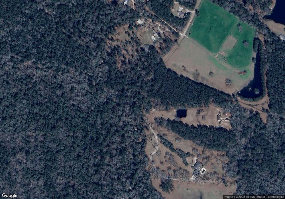
Map
Nearby Homes
- 81151 Highway 1080 (S Factory Rd) Hwy
- 14199 Martin Rd
- 15124 Old Farms Rd
- 81490 Dale Dr
- 13628 Stonelake Dr
- 81151 N Factory Rd
- 79423 Branly Dr
- 0 Magee Rd Unit 2525427
- 7.58 ACRES Hwy 25 Hwy
- 82020 Highway 25
- 105 Marguerite St
- Parcel 1 7 01 Acres Bruhl Rd
- Parcel 1 Rd
- 79468 Bruhl Rd
- 102 Chenel St
- Parcel 2 6 49 Acres Bruhl Rd
- Parcel 2 Rd
- 207 Louis Dr
- 82499 Hwy 1080 N Factory Rd Rd
- 15009 Old Farms Rd
- 81355 Highway 1080
- 81318 Highway 1080
- 81351 Highway 1080
- 15081 Old Farms Rd
- 14459 Martin Rd
- 0 Martin Rd Rd
- 14431 Martin Rd
- 15101 Old Farms Rd
- 0 Factory (Hwy 1080) Rd Unit 2345799
- 0 Factory (Hwy 1080) Rd Unit 2225893
- 0 Factory (Hwy 1080) Rd Unit 2215921
- 15151 Old Farms Rd
- 0 Hwy 1080 (Factory Road) Rd Unit 2068517
- 81400 S Highway 1080 Rd
- 18400 S Factory Rd
- 0 Martin Rd
- 14163 Defries Rd
- 14155 Defries Rd
- 81651 Factory Rd