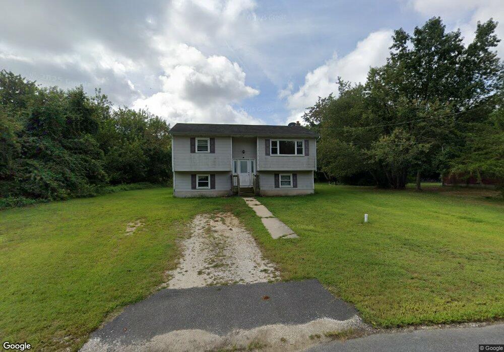
8117 Red Fern Dr N Port Norris, NJ 08349
Estimated Value: $159,000 - $239,000
--
Bed
--
Bath
898
Sq Ft
$231/Sq Ft
Est. Value
About This Home
This home is located at 8117 Red Fern Dr N, Port Norris, NJ 08349 and is currently estimated at $207,703, approximately $231 per square foot. 8117 Red Fern Dr N is a home located in Cumberland County with nearby schools including Commercial Township School and Port Norris Elementary School.
Ownership History
Date
Name
Owned For
Owner Type
Purchase Details
Closed on
Feb 21, 2007
Sold by
Moore Judson
Bought by
Clements Audrey M
Current Estimated Value
Purchase Details
Closed on
Mar 23, 2006
Sold by
Us Dept Of Agriculture
Bought by
Moore Judson
Create a Home Valuation Report for This Property
The Home Valuation Report is an in-depth analysis detailing your home's value as well as a comparison with similar homes in the area
Home Values in the Area
Average Home Value in this Area
Purchase History
| Date | Buyer | Sale Price | Title Company |
|---|---|---|---|
| Clements Audrey M | $135,000 | -- | |
| Moore Judson | $51,600 | -- |
Source: Public Records
Tax History Compared to Growth
Tax History
| Year | Tax Paid | Tax Assessment Tax Assessment Total Assessment is a certain percentage of the fair market value that is determined by local assessors to be the total taxable value of land and additions on the property. | Land | Improvement |
|---|---|---|---|---|
| 2025 | $3,756 | $129,100 | $32,500 | $96,600 |
| 2024 | $3,756 | $129,100 | $32,500 | $96,600 |
| 2023 | $3,703 | $129,100 | $32,500 | $96,600 |
| 2022 | $3,672 | $129,100 | $32,500 | $96,600 |
| 2021 | $3,468 | $129,100 | $32,500 | $96,600 |
| 2020 | $3,524 | $129,100 | $32,500 | $96,600 |
| 2019 | $3,282 | $129,100 | $32,500 | $96,600 |
| 2018 | $3,299 | $129,100 | $32,500 | $96,600 |
| 2017 | $3,178 | $129,100 | $32,500 | $96,600 |
| 2016 | $3,065 | $129,100 | $32,500 | $96,600 |
| 2015 | $3,100 | $129,100 | $32,500 | $96,600 |
| 2014 | $2,968 | $129,100 | $32,500 | $96,600 |
Source: Public Records
Map
Nearby Homes
- 1662 North Ave
- 7020 Parsons Ln
- 1600 North Ave
- 1908 North Ave
- 6502 Yock Wock Rd Unit B - JAXSON I
- 6502 Yock Wock Rd Unit PHOENIX
- 6502 Yock Wock Rd
- 1716 Main St
- 2321 Bacon St
- 2406 Market St
- 2505 High St
- 6704 Chestnut St
- 1679 Main St
- 2532 High St
- 1663 Main St
- 6303 Walnut St
- 6216 Brown St
- 2530 Bacon St
- 2600 Church St
- 7122 James Moore Rd
- 8113 Red Fern Dr N
- 8118 Red Fern Dr S
- 8122 Red Fern Dr S
- 8114 Red Fern Dr S
- 8125 Red Fern Dr N
- 8109 Red Fern Dr N
- 8109 Red Fern Dr N Unit Red Fern Drive South
- 8109 Red Fern Dr N Unit 8109 Red Fern Drive
- 8126 Red Fern Dr S
- 8112 Red Fern Dr N
- 8110 Red Fern Dr S
- 8108 Red Fern Dr N
- 8105 Red Fern Dr N
- 8119 Red Fern Dr S
- 8106 Red Fern Dr N
- 8104 Red Fern Dr N
- 8109 Red Fern Dr S
- 8125 Red Fern Dr S
- 8102 Red Fern Dr N
- 8100 Red Fern Dr N