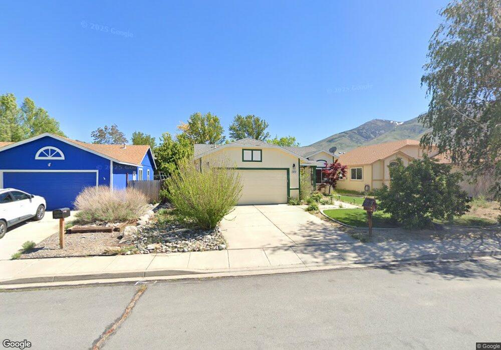
8118 Anchor Point Dr Reno, NV 89506
Stead NeighborhoodEstimated Value: $393,421 - $421,000
3
Beds
2
Baths
1,254
Sq Ft
$324/Sq Ft
Est. Value
About This Home
This home is located at 8118 Anchor Point Dr, Reno, NV 89506 and is currently estimated at $406,105, approximately $323 per square foot. 8118 Anchor Point Dr is a home located in Washoe County with nearby schools including Silver Lake Elementary School, Cold Springs Middle Schools, and North Valleys High School.
Ownership History
Date
Name
Owned For
Owner Type
Purchase Details
Closed on
Sep 5, 1996
Sold by
Lewis Homes Of Nevada
Bought by
Johnson John S and Johnson Donna
Current Estimated Value
Home Financials for this Owner
Home Financials are based on the most recent Mortgage that was taken out on this home.
Original Mortgage
$121,289
Outstanding Balance
$10,415
Interest Rate
8.2%
Mortgage Type
FHA
Estimated Equity
$395,690
Create a Home Valuation Report for This Property
The Home Valuation Report is an in-depth analysis detailing your home's value as well as a comparison with similar homes in the area
Home Values in the Area
Average Home Value in this Area
Purchase History
| Date | Buyer | Sale Price | Title Company |
|---|---|---|---|
| Johnson John S | $123,000 | Stewart Title |
Source: Public Records
Mortgage History
| Date | Status | Borrower | Loan Amount |
|---|---|---|---|
| Open | Johnson John S | $121,289 |
Source: Public Records
Tax History Compared to Growth
Tax History
| Year | Tax Paid | Tax Assessment Tax Assessment Total Assessment is a certain percentage of the fair market value that is determined by local assessors to be the total taxable value of land and additions on the property. | Land | Improvement |
|---|---|---|---|---|
| 2025 | $2,953 | $75,844 | $32,270 | $43,574 |
| 2024 | $2,953 | $72,990 | $28,980 | $44,010 |
| 2023 | $4,091 | $69,601 | $27,790 | $41,811 |
| 2022 | $1,315 | $59,331 | $24,360 | $34,971 |
| 2021 | $2,101 | $54,012 | $19,075 | $34,937 |
| 2020 | $2,351 | $53,578 | $18,480 | $35,098 |
| 2019 | $2,132 | $52,230 | $18,235 | $33,995 |
| 2018 | $2,126 | $45,944 | $12,915 | $33,029 |
| 2017 | $2,060 | $45,191 | $12,040 | $33,151 |
| 2016 | $1,986 | $44,613 | $10,675 | $33,938 |
| 2015 | $1,933 | $42,932 | $8,960 | $33,972 |
| 2014 | $1,922 | $38,276 | $7,175 | $31,101 |
| 2013 | -- | $29,555 | $5,250 | $24,305 |
Source: Public Records
Map
Nearby Homes
- 8055 White Falls Dr
- 7973 Moss Creek Dr
- 7961 Big River Dr Unit 17
- 7956 White Falls Dr
- 8720 Malibu Dr
- 8565 Silver Shores Dr
- 8529 Red Baron Blvd
- 7991 Mariner Cove Dr
- 7690 Deep Bay Dr
- 8419 Sopwith Blvd
- 7751 Mariner Cove Dr
- 7750 Mariner Cove Dr
- 8517 Corrigan Way
- 8480 Corrigan Way
- 9500 N Red Rock Rd
- 8678 Strutter Way
- 8410 Red Baron Blvd
- Red Rock 19.82 Acres
- 7378 Silver Dawn Dr
- 7480 Spey Dr
- 8128 Anchor Point Dr
- 8108 Anchor Point Dr Unit 16
- 8098 Anchor Point Dr
- 8138 Anchor Point Dr
- 8111 Big River Dr
- 8121 Big River Dr
- 8101 Big River Dr
- 8091 Big River Dr
- 8131 Big River Dr
- 8088 Anchor Point Dr
- 8117 Anchor Point Dr
- 8137 Anchor Point Dr
- 8107 Anchor Point Dr
- 8081 Big River Dr
- 8147 Anchor Point Dr
- 8097 Anchor Point Dr Unit 16
- 8078 Anchor Point Dr
- 8158 Anchor Point Dr
- 8071 Big River Dr
- 8151 Big River Dr