8118 N Alfadale Rd El Reno, OK 73036
Estimated Value: $247,000 - $567,330
2
Beds
2
Baths
2,329
Sq Ft
$152/Sq Ft
Est. Value
About This Home
This home is located at 8118 N Alfadale Rd, El Reno, OK 73036 and is currently estimated at $354,777, approximately $152 per square foot. 8118 N Alfadale Rd is a home located in Canadian County with nearby schools including Darlington Public School.
Ownership History
Date
Name
Owned For
Owner Type
Purchase Details
Closed on
Jun 17, 2022
Sold by
Larry Deatherage Revocable Living Trust
Bought by
Janet Deatherage Revocable Living Trust
Current Estimated Value
Purchase Details
Closed on
Nov 12, 1999
Sold by
Deatherage Larry E and Deatherage Janet A
Bought by
Deatherage Don L and Deatherage Ruth M
Purchase Details
Closed on
Nov 11, 1999
Sold by
Deatherage Don and Larry Co-Trst
Purchase Details
Closed on
Nov 17, 1995
Sold by
Deatherage Cleo S
Purchase Details
Closed on
Apr 24, 1995
Sold by
Deatherage Cleo S
Create a Home Valuation Report for This Property
The Home Valuation Report is an in-depth analysis detailing your home's value as well as a comparison with similar homes in the area
Home Values in the Area
Average Home Value in this Area
Purchase History
| Date | Buyer | Sale Price | Title Company |
|---|---|---|---|
| Janet Deatherage Revocable Living Trust | -- | None Listed On Document | |
| Deatherage Don L | -- | -- | |
| -- | -- | -- | |
| -- | -- | -- | |
| -- | -- | -- |
Source: Public Records
Tax History Compared to Growth
Tax History
| Year | Tax Paid | Tax Assessment Tax Assessment Total Assessment is a certain percentage of the fair market value that is determined by local assessors to be the total taxable value of land and additions on the property. | Land | Improvement |
|---|---|---|---|---|
| 2024 | $1,177 | $16,907 | $1,431 | $15,476 |
| 2023 | $1,177 | $16,908 | $1,495 | $15,413 |
| 2022 | $1,178 | $16,908 | $1,816 | $15,092 |
| 2021 | $1,180 | $16,907 | $2,196 | $14,711 |
| 2020 | $1,180 | $16,908 | $2,148 | $14,760 |
| 2019 | $1,180 | $16,907 | $2,120 | $14,787 |
| 2018 | $1,182 | $16,907 | $2,510 | $14,397 |
| 2017 | $1,183 | $16,907 | $2,510 | $14,397 |
| 2016 | $1,185 | $16,907 | $2,495 | $14,412 |
| 2015 | -- | $16,907 | $2,855 | $14,052 |
| 2014 | -- | $16,907 | $2,855 | $14,052 |
Source: Public Records
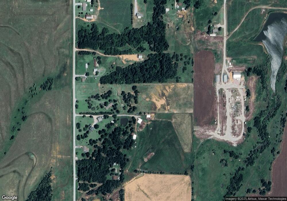
Map
Nearby Homes
- 8248 Bluestem Trail
- 0 E Jones Rd
- 0 Hwy 81 & Jones Rd
- 8229 Bluestem Trail
- 8218 Bluestem Trail
- 0004 NW 122nd St
- Olympia Plan at Manning Farms
- Trenton Plan at Manning Farms
- Richmond Plan at Manning Farms
- Phoenix Plan at Manning Farms
- Lincoln Plan at Manning Farms
- Hartford Plan at Manning Farms
- Bismarck Plan at Manning Farms
- 0 Hefner Rd NE
- 11230 N Banner Rd
- 2520 N Manning Rd
- 11010 N Banner Rd
- 2108 E Rogers St
- 221 N L Ave
- 228 N Donald Ave