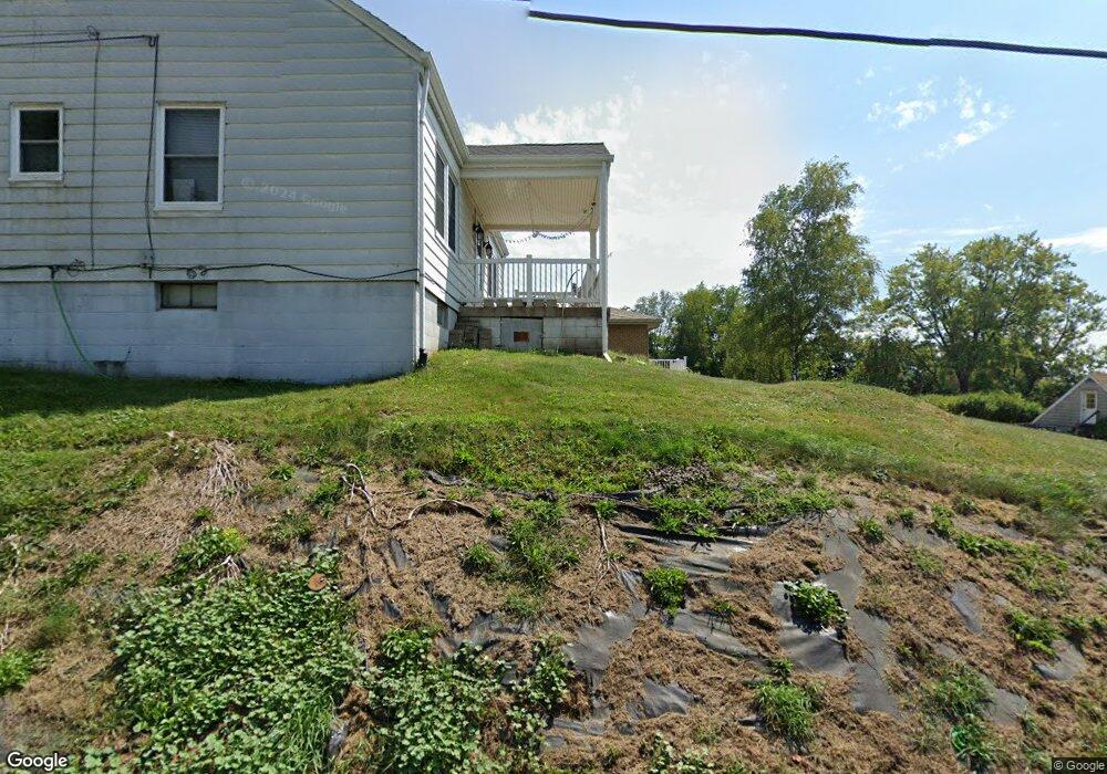
812 7th St Rochester, PA 15074
East Rochester NeighborhoodEstimated Value: $124,000 - $210,450
3
Beds
2
Baths
1,785
Sq Ft
$96/Sq Ft
Est. Value
About This Home
This home is located at 812 7th St, Rochester, PA 15074 and is currently estimated at $170,613, approximately $95 per square foot. 812 7th St is a home located in Beaver County with nearby schools including Rochester Area El School, Rochester Area High School, and Saints Peter & Paul School.
Ownership History
Date
Name
Owned For
Owner Type
Purchase Details
Closed on
Dec 23, 2011
Sold by
Helbig Naomi and Estate Of Norma V Giles
Bought by
Shepherd James C
Current Estimated Value
Home Financials for this Owner
Home Financials are based on the most recent Mortgage that was taken out on this home.
Original Mortgage
$84,794
Outstanding Balance
$58,669
Interest Rate
4.25%
Mortgage Type
FHA
Estimated Equity
$111,944
Purchase Details
Closed on
Aug 22, 2003
Sold by
Pulcini Vincent C
Bought by
Starn William A and Starn,Sue Ann
Home Financials for this Owner
Home Financials are based on the most recent Mortgage that was taken out on this home.
Original Mortgage
$65,600
Interest Rate
5.52%
Mortgage Type
New Conventional
Create a Home Valuation Report for This Property
The Home Valuation Report is an in-depth analysis detailing your home's value as well as a comparison with similar homes in the area
Home Values in the Area
Average Home Value in this Area
Purchase History
| Date | Buyer | Sale Price | Title Company |
|---|---|---|---|
| Shepherd James C | $87,000 | None Available | |
| Starn William A | $82,000 | -- |
Source: Public Records
Mortgage History
| Date | Status | Borrower | Loan Amount |
|---|---|---|---|
| Open | Shepherd James C | $84,794 | |
| Previous Owner | Starn William A | $65,600 |
Source: Public Records
Tax History Compared to Growth
Tax History
| Year | Tax Paid | Tax Assessment Tax Assessment Total Assessment is a certain percentage of the fair market value that is determined by local assessors to be the total taxable value of land and additions on the property. | Land | Improvement |
|---|---|---|---|---|
| 2025 | $640 | $87,150 | $12,900 | $74,250 |
| 2024 | $3,560 | $87,150 | $12,900 | $74,250 |
| 2023 | $3,347 | $26,300 | $3,600 | $22,700 |
| 2022 | $3,241 | $26,300 | $3,600 | $22,700 |
| 2021 | $3,241 | $26,300 | $3,600 | $22,700 |
| 2020 | $3,202 | $26,300 | $3,600 | $22,700 |
| 2019 | $3,176 | $26,300 | $3,600 | $22,700 |
| 2018 | $3,084 | $26,300 | $3,600 | $22,700 |
| 2017 | $3,084 | $26,300 | $3,600 | $22,700 |
| 2016 | $2,925 | $26,300 | $3,600 | $22,700 |
| 2015 | $584 | $26,300 | $3,600 | $22,700 |
| 2014 | $584 | $26,300 | $3,600 | $22,700 |
Source: Public Records
Map
Nearby Homes
- 1370 Charlotte Ave
- 609 Lincoln St
- 843 Walnut St
- 166 Pennsylvania Ave
- 433 Pinney St
- 444 E Washington St
- 442 E Washington St
- 457 Adams St
- 427 Jackson St
- 522 Jefferson St
- 1129 Atlantic Ave
- 531 Reno St
- 0 Cycle Dr
- 1317 Indiana Ave
- 291 Pinney St
- 211 11th St
- 938 Atlantic Ave
- 919 Atlantic Ave
- 1213 Virginia Ave
- 152 Moose Ave