Estimated Value: $165,000 - $216,000
4
Beds
2
Baths
1,464
Sq Ft
$130/Sq Ft
Est. Value
About This Home
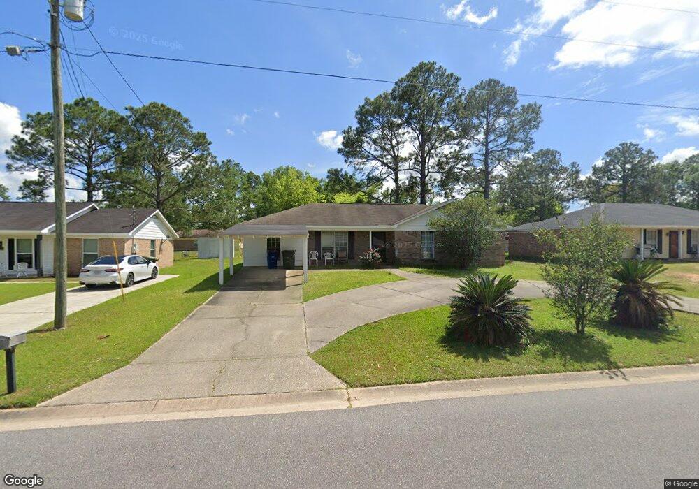
This home is located at 812 Ashland Dr, Foley, AL 36535 and is currently estimated at $190,052, approximately $129 per square foot. 812 Ashland Dr is a home located in Baldwin County with nearby schools including Foley Elementary School, Foley Middle School, and Foley High School.
Ownership History
Date
Name
Owned For
Owner Type
Purchase Details
Closed on
Jul 12, 2020
Sold by
Irby Home Buyers Llc
Bought by
Floyd Patrick
Current Estimated Value
Home Financials for this Owner
Home Financials are based on the most recent Mortgage that was taken out on this home.
Original Mortgage
$208,200
Interest Rate
3.1%
Mortgage Type
New Conventional
Purchase Details
Closed on
Jun 15, 2020
Sold by
Wiggins Gloria J and Banks Gloria
Bought by
Irby Home Buyers Llc
Home Financials for this Owner
Home Financials are based on the most recent Mortgage that was taken out on this home.
Original Mortgage
$208,200
Interest Rate
3.1%
Mortgage Type
New Conventional
Create a Home Valuation Report for This Property
The Home Valuation Report is an in-depth analysis detailing your home's value as well as a comparison with similar homes in the area
Home Values in the Area
Average Home Value in this Area
Purchase History
| Date | Buyer | Sale Price | Title Company |
|---|---|---|---|
| Floyd Patrick | $101,000 | None Available | |
| Irby Home Buyers Llc | $69,000 | None Available |
Source: Public Records
Mortgage History
| Date | Status | Borrower | Loan Amount |
|---|---|---|---|
| Previous Owner | Irby Home Buyers Llc | $208,200 |
Source: Public Records
Tax History Compared to Growth
Tax History
| Year | Tax Paid | Tax Assessment Tax Assessment Total Assessment is a certain percentage of the fair market value that is determined by local assessors to be the total taxable value of land and additions on the property. | Land | Improvement |
|---|---|---|---|---|
| 2024 | $1,047 | $31,720 | $5,200 | $26,520 |
| 2023 | $1,065 | $32,260 | $6,140 | $26,120 |
| 2022 | $893 | $27,060 | $0 | $0 |
| 2021 | $779 | $23,620 | $0 | $0 |
| 2020 | $264 | $10,680 | $0 | $0 |
| 2019 | $271 | $10,940 | $0 | $0 |
| 2018 | $204 | $8,420 | $0 | $0 |
| 2017 | $195 | $8,060 | $0 | $0 |
| 2016 | $178 | $7,420 | $0 | $0 |
| 2015 | $154 | $6,520 | $0 | $0 |
| 2014 | $174 | $7,280 | $0 | $0 |
| 2013 | -- | $6,980 | $0 | $0 |
Source: Public Records
Map
Nearby Homes
- 637 E Pedigo Ave
- 609 E Orange Ave
- 615 E Pedigo Ave
- 502 E Myrtle Ave
- 419 Verbena Loop
- 801 S Juniper St
- 0 E Azalea Ave
- 1358 Plymouth Dr
- 308 E Azalea Ave
- 14454 Fawn Dr
- 1311 Plymouth Dr
- 19129 S Maple St
- 19250 S Maple St
- 1338 Plymouth Dr
- 704 Mayflower Dr
- 1524 Kairos Loop
- 691 Mayflower Dr
- 13626 Canebrake Cir
- 13188 Canebrake Cir
- 21741 Pine Knot Way
- 808 Ashland Dr
- 816 Ashland Dr
- 817 W Verbena Ave
- 815 E Verbena Ave
- 804 Ashland Dr
- 820 Ashland Dr
- 819 E Verbena Ave
- 200 Ashland Ct
- 821 E Verbena Ave
- 119 E Verbena Ave E
- 802 Ashland Dr
- 824 Ashland Dr
- 805 Ashland Dr
- 204 Ashland Ct
- 819 Ashland Dr
- 805 E Verbena Ave
- 823 E Verbena Ave
- 212 Trade Wind Ct
- 204 Trade Wind Ct
- 318 S Pecan St