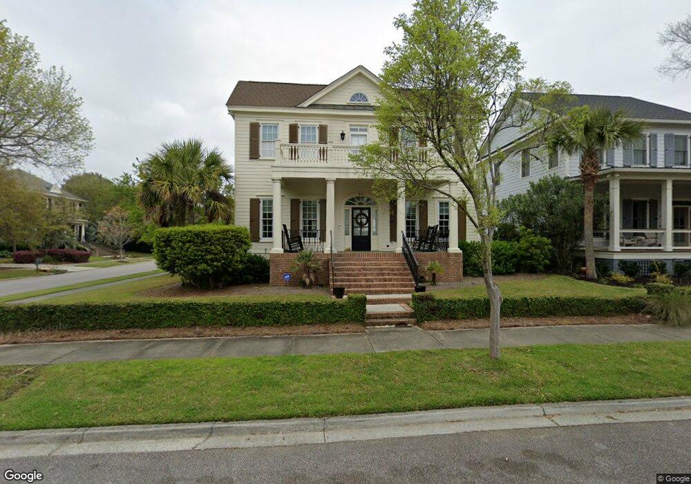
812 Beckon St Daniel Island, SC 29492
Daniel Island NeighborhoodEstimated Value: $1,417,000 - $2,883,000
3
Beds
3
Baths
2,392
Sq Ft
$791/Sq Ft
Est. Value
About This Home
This home is located at 812 Beckon St, Daniel Island, SC 29492 and is currently estimated at $1,892,234, approximately $791 per square foot. 812 Beckon St is a home located in Berkeley County with nearby schools including Daniel Island School and Bishop England High School.
Ownership History
Date
Name
Owned For
Owner Type
Purchase Details
Closed on
Jul 18, 2005
Sold by
Dodson Carl E and Dodson Donna M
Bought by
Dodson Eric Carl
Current Estimated Value
Purchase Details
Closed on
Apr 26, 2004
Sold by
Epps Charles D and Epps Lynn Morton
Bought by
Dodson Carl E and Dodson Donna M
Purchase Details
Closed on
Oct 4, 2002
Sold by
Simonini Builders Of South Carolina Inc
Bought by
Epps Charles D and Epps Lynn Morton
Purchase Details
Closed on
Oct 15, 2001
Sold by
Daniel Island Associates Llc
Bought by
Simonini Builders Of South Carolina Inc
Create a Home Valuation Report for This Property
The Home Valuation Report is an in-depth analysis detailing your home's value as well as a comparison with similar homes in the area
Home Values in the Area
Average Home Value in this Area
Purchase History
| Date | Buyer | Sale Price | Title Company |
|---|---|---|---|
| Dodson Eric Carl | -- | -- | |
| Dodson Carl E | $669,000 | -- | |
| Epps Charles D | $568,000 | -- | |
| Simonini Builders Of South Carolina Inc | $377,000 | -- |
Source: Public Records
Tax History
| Year | Tax Paid | Tax Assessment Tax Assessment Total Assessment is a certain percentage of the fair market value that is determined by local assessors to be the total taxable value of land and additions on the property. | Land | Improvement |
|---|---|---|---|---|
| 2025 | $4,151 | $702,644 | $245,377 | $457,267 |
| 2024 | $4,269 | $28,106 | $9,815 | $18,291 |
| 2023 | $4,269 | $28,106 | $9,815 | $18,291 |
| 2022 | $3,870 | $24,440 | $7,994 | $16,446 |
| 2021 | $3,940 | $24,440 | $7,994 | $16,446 |
| 2020 | $4,020 | $24,440 | $7,994 | $16,446 |
| 2019 | $4,095 | $24,440 | $7,994 | $16,446 |
| 2018 | $3,526 | $21,252 | $6,000 | $15,252 |
| 2017 | $3,520 | $21,252 | $6,000 | $15,252 |
| 2016 | $3,571 | $21,250 | $6,000 | $15,250 |
| 2015 | $3,336 | $21,250 | $6,000 | $15,250 |
| 2014 | $3,332 | $21,250 | $6,000 | $15,250 |
| 2013 | -- | $21,250 | $6,000 | $15,250 |
Source: Public Records
Map
Nearby Homes
- 75 Delahow St
- 26 Woodford St
- 131 Balfour Dr
- 205 Delahow St
- 332 Ginned Cotton St
- 290 Delahow St
- 54 Watroo Point
- 57 Iron Bottom Ln
- 136 Iron Bottom Ln
- 1121 Beresford Run
- 250 Island Park Dr Unit 205
- 178 King George St
- 215 Ferryman Ln
- 1191 Rivershore Rd
- 492 Creek Landing St
- 1104 Beresford Run
- 775 Forrest Dr
- 855 Forrest Dr
- 278 Island Park Dr
- 167 Etta Way Unit Lot 40
- 808 Beckon St
- 806 Beckon St
- 711 Cunningham St
- 707 Cunningham St
- 802 Beckon St
- 705 Cunningham St
- 3 Watroo Point
- 1 Watroo Point
- 703 Cunningham St
- 800 Beckon St
- 7 Watroo Point
- 701 Cunningham St
- 706 Cunningham St
- 9 Watroo Point
- 101 Balfour Dr
- 0 Katy Ln
- 105 Balfour Dr
- 702 Cunningham St
- 107 Balfour Dr
- 700 Cunningham St
Your Personal Tour Guide
Ask me questions while you tour the home.