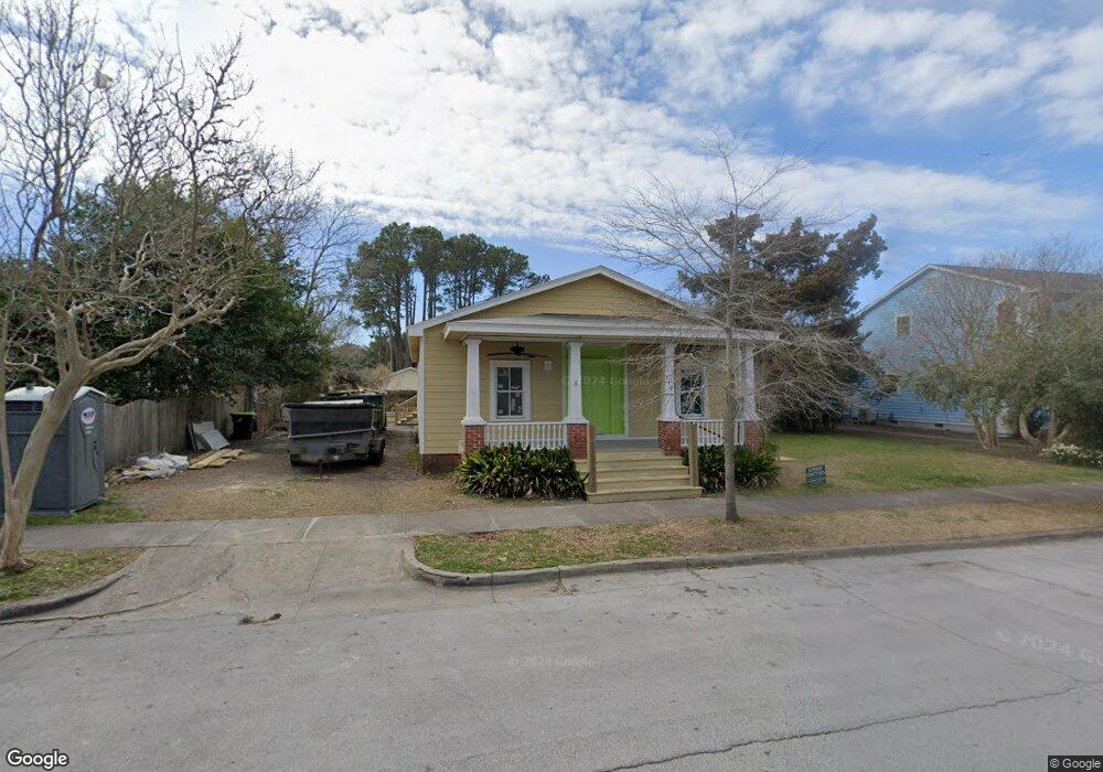
812 Broad St Beaufort, NC 28516
Estimated Value: $530,000 - $638,000
3
Beds
1
Bath
1,311
Sq Ft
$447/Sq Ft
Est. Value
About This Home
This home is located at 812 Broad St, Beaufort, NC 28516 and is currently estimated at $586,601, approximately $447 per square foot. 812 Broad St is a home located in Carteret County with nearby schools including Beaufort Elementary School, Beaufort Middle School, and East Carteret High School.
Ownership History
Date
Name
Owned For
Owner Type
Purchase Details
Closed on
Jul 6, 2009
Sold by
Arrington Winston P
Bought by
Jeffries David Andrew and Jeffries Stephanie Breard
Current Estimated Value
Home Financials for this Owner
Home Financials are based on the most recent Mortgage that was taken out on this home.
Original Mortgage
$192,000
Outstanding Balance
$126,705
Interest Rate
5.53%
Mortgage Type
Purchase Money Mortgage
Estimated Equity
$459,896
Create a Home Valuation Report for This Property
The Home Valuation Report is an in-depth analysis detailing your home's value as well as a comparison with similar homes in the area
Home Values in the Area
Average Home Value in this Area
Purchase History
| Date | Buyer | Sale Price | Title Company |
|---|---|---|---|
| Jeffries David Andrew | $240,000 | None Available |
Source: Public Records
Mortgage History
| Date | Status | Borrower | Loan Amount |
|---|---|---|---|
| Open | Jeffries David Andrew | $192,000 |
Source: Public Records
Tax History Compared to Growth
Tax History
| Year | Tax Paid | Tax Assessment Tax Assessment Total Assessment is a certain percentage of the fair market value that is determined by local assessors to be the total taxable value of land and additions on the property. | Land | Improvement |
|---|---|---|---|---|
| 2025 | $3,338 | $569,505 | $412,500 | $157,005 |
| 2024 | $2,843 | $312,200 | $241,984 | $70,216 |
| 2023 | $2,874 | $326,903 | $241,984 | $84,919 |
| 2022 | $2,842 | $326,903 | $241,984 | $84,919 |
| 2021 | $2,842 | $326,903 | $241,984 | $84,919 |
| 2020 | $2,842 | $326,903 | $241,984 | $84,919 |
| 2019 | $1,970 | $229,782 | $138,917 | $90,865 |
| 2017 | $1,804 | $229,782 | $138,917 | $90,865 |
| 2016 | $1,700 | $229,782 | $138,917 | $90,865 |
| 2015 | $1,677 | $229,782 | $138,917 | $90,865 |
| 2014 | $1,857 | $270,951 | $187,210 | $83,741 |
Source: Public Records
Map
Nearby Homes
- 301 Hedrick St
- 708 Ann St
- 717 Cedar St Unit 1/2
- 1011 Front St Unit 3A
- 420 Pollock St
- 200 Craven St
- 601 Craven St
- 1308 Ann St Unit 16
- 805 Mulberry St Unit 202
- 805 Mulberry St Unit 204
- 805 Mulberry St Unit 105
- 805 Mulberry St Unit 201
- 805 Mulberry St Unit 104
- 805 Mulberry St Unit 103
- 805 Mulberry St Unit 102
- 805 Mulberry St Unit 101
- 1312 Ann St Unit 5
- 414 Pine St
- 217 Turner St
- 515 Mulberry St
- 810 Broad St
- 217 Live Oak St
- 209 Live Oak St
- 213 Live Oak St
- 805 Broad St
- 815 Broad St
- 212 Marsh St
- 208 Marsh St
- 210 Marsh St
- 817 Broad St
- 803 Broad St
- 819 Broad St
- 300 Marsh St Unit 3
- 300 Marsh St
- 300 Marsh St Unit 1,2,3
- 300 Marsh St Unit 1
- 300 Marsh St Unit 7
- 300 Marsh St Unit 5
- 300 Marsh St Unit 2
- 801 Broad St