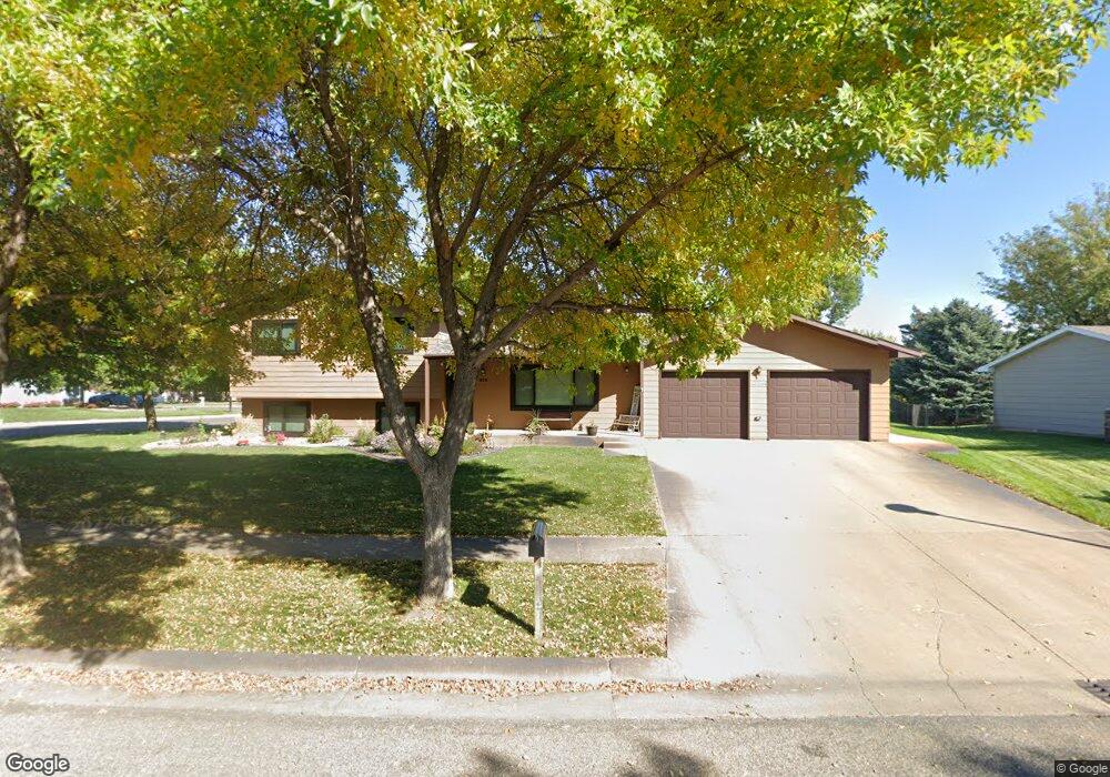
812 Currant Dr Pierre, SD 57501
Estimated Value: $284,000 - $337,000
3
Beds
1
Bath
1,180
Sq Ft
$258/Sq Ft
Est. Value
About This Home
This home is located at 812 Currant Dr, Pierre, SD 57501 and is currently estimated at $304,520, approximately $258 per square foot. 812 Currant Dr is a home with nearby schools including T.F. Riggs High School and Pierre SDA School.
Ownership History
Date
Name
Owned For
Owner Type
Purchase Details
Closed on
Oct 21, 2005
Sold by
Drake Ellen Gayle
Bought by
Labrie Richard and Labrie Debra
Current Estimated Value
Home Financials for this Owner
Home Financials are based on the most recent Mortgage that was taken out on this home.
Original Mortgage
$119,900
Outstanding Balance
$64,701
Interest Rate
5.89%
Estimated Equity
$239,819
Create a Home Valuation Report for This Property
The Home Valuation Report is an in-depth analysis detailing your home's value as well as a comparison with similar homes in the area
Home Values in the Area
Average Home Value in this Area
Purchase History
| Date | Buyer | Sale Price | Title Company |
|---|---|---|---|
| Labrie Richard | $170,000 | -- |
Source: Public Records
Mortgage History
| Date | Status | Borrower | Loan Amount |
|---|---|---|---|
| Open | Labrie Richard | $119,900 |
Source: Public Records
Tax History
| Year | Tax Paid | Tax Assessment Tax Assessment Total Assessment is a certain percentage of the fair market value that is determined by local assessors to be the total taxable value of land and additions on the property. | Land | Improvement |
|---|---|---|---|---|
| 2025 | $3,267 | $269,467 | $50,833 | $218,634 |
| 2024 | $3,259 | $259,056 | $50,833 | $208,223 |
| 2023 | $2,964 | $251,788 | $48,644 | $203,144 |
| 2022 | $2,792 | $215,615 | $46,328 | $169,287 |
| 2021 | $2,735 | $192,513 | $41,364 | $151,149 |
| 2020 | $2,799 | $186,906 | $40,159 | $146,747 |
| 2019 | $2,794 | $186,906 | $40,159 | $146,747 |
| 2018 | $2,678 | $181,462 | $38,989 | $142,473 |
| 2017 | -- | $172,821 | $37,132 | $135,689 |
| 2016 | $2,801 | $172,821 | $37,132 | $135,689 |
| 2015 | -- | $167,787 | $36,050 | $131,737 |
| 2014 | -- | $162,900 | $35,000 | $127,900 |
| 2013 | -- | $162,900 | $35,000 | $127,900 |
| 2011 | -- | $148,630 | $33,135 | $115,495 |
Source: Public Records
Map
Nearby Homes
- 0 Woodview Dr
- 1217 Hilgers Dr
- TBD Lilac Dr
- 1621 Abbey Rd
- 620 N Harrison Ave
- 131 Hampton Dr
- 2013 Ridgeway Place
- 404 Yucca Dr
- 2106 Antelope St
- 2004 Buffalo St
- 109 Baja Dr
- 313 N Taylor Ave
- Lot 13R N Garfield Ave
- 1814 Camden Ct
- 203 N Tyler Ave
- 1602 E Cabot St
- 129 Norbeck Dr
- 2400 E Capitol Ave
- 1515 E Capitol Ave
- 1511 E Capitol Ave
- 808 Currant Dr
- 816 Currant Dr
- 1017 Winchester Dr
- 804 Currant Dr
- 1013 Winchester Dr
- 809 Currant Dr
- 813 Currant Dr
- 805 Currant Dr
- 1105 N Harrison Ave
- 1101 N Harrison Ave
- 1009 Winchester Dr
- 1109 N Harrison Ave
- 812 Plum Dr
- 1016 Winchester Dr
- 808 Plum Dr
- 904 Cambridge Dr
- 801 Currant Dr
- 816 Plum Dr
- 804 Plum Dr
- 1100 Winchester Dr
Your Personal Tour Guide
Ask me questions while you tour the home.