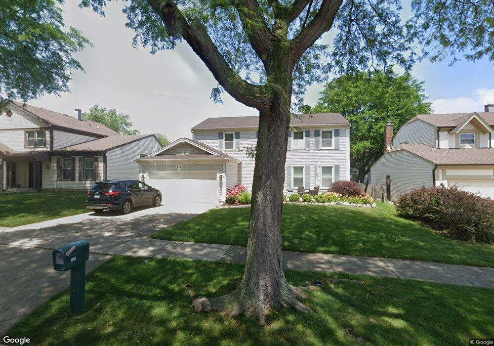
812 Dannet Rd Buffalo Grove, IL 60089
Prairie Park-Lake County NeighborhoodEstimated Value: $533,512 - $602,000
--
Bed
3
Baths
2,199
Sq Ft
$262/Sq Ft
Est. Value
About This Home
This home is located at 812 Dannet Rd, Buffalo Grove, IL 60089 and is currently estimated at $576,628, approximately $262 per square foot. 812 Dannet Rd is a home located in Lake County with nearby schools including Prairie Elementary School, Twin Groves Middle School, and Adlai E Stevenson High School.
Ownership History
Date
Name
Owned For
Owner Type
Purchase Details
Closed on
Mar 7, 2018
Sold by
Silver Arlene D
Bought by
Silver Sanford I and Silver Arlene D
Current Estimated Value
Create a Home Valuation Report for This Property
The Home Valuation Report is an in-depth analysis detailing your home's value as well as a comparison with similar homes in the area
Home Values in the Area
Average Home Value in this Area
Purchase History
| Date | Buyer | Sale Price | Title Company |
|---|---|---|---|
| Silver Sanford I | -- | Attorney | |
| Silver Sanford I | -- | Attorney |
Source: Public Records
Tax History Compared to Growth
Tax History
| Year | Tax Paid | Tax Assessment Tax Assessment Total Assessment is a certain percentage of the fair market value that is determined by local assessors to be the total taxable value of land and additions on the property. | Land | Improvement |
|---|---|---|---|---|
| 2024 | $12,342 | $145,261 | $30,706 | $114,555 |
| 2023 | $13,086 | $137,064 | $28,973 | $108,091 |
| 2022 | $13,086 | $136,498 | $28,860 | $107,638 |
| 2021 | $13,092 | $135,026 | $28,549 | $106,477 |
| 2020 | $12,783 | $135,486 | $28,646 | $106,840 |
| 2019 | $12,607 | $134,986 | $28,540 | $106,446 |
| 2018 | $6,505 | $134,360 | $28,208 | $106,152 |
| 2017 | $11,929 | $131,224 | $27,550 | $103,674 |
| 2016 | $11,618 | $125,657 | $26,381 | $99,276 |
| 2015 | $11,311 | $117,513 | $24,671 | $92,842 |
| 2014 | $10,350 | $106,565 | $26,496 | $80,069 |
| 2012 | $10,275 | $106,778 | $26,549 | $80,229 |
Source: Public Records
Map
Nearby Homes
- 1265 Devonshire Rd
- 1141 Devonshire Rd
- 1152 Courtland Dr Unit 406
- 1032 Courtland Dr Unit 9
- 950 Belmar Ln
- 890 Knollwood Dr
- 931 Shady Grove Ln
- 327 Lasalle Ln
- 12 Cloverdale Ct
- 5107 N Arlington Heights Rd
- 1546 Brandywyn Ln
- 1118 Larraway Dr
- 614 Lyon Ct
- 437 Caren Dr
- 800 Clohesey Dr
- 1324 Fairfax Ln Unit B32
- 1325 Fairfax Ln
- 538 Lasalle Ct
- 1113 Lockwood Dr
- 711 Woodhollow Ln
- 816 Dannet Rd
- 808 Dannet Rd
- 1306 Devonshire Rd
- 1304 Devonshire Rd
- 1308 Devonshire Rd
- 804 Dannet Rd
- 820 Dannet Rd
- 1302 Devonshire Rd
- 1310 Devonshire Rd
- 809 Dannet Rd
- 813 Dannet Rd
- 800 Dannet Rd
- 805 Dannet Rd
- 824 Dannet Rd
- 817 Dannet Rd
- 1300 Devonshire Rd
- 1312 Devonshire Rd
- 801 Dannet Rd
- 821 Dannet Rd
- 796 Dannet Rd