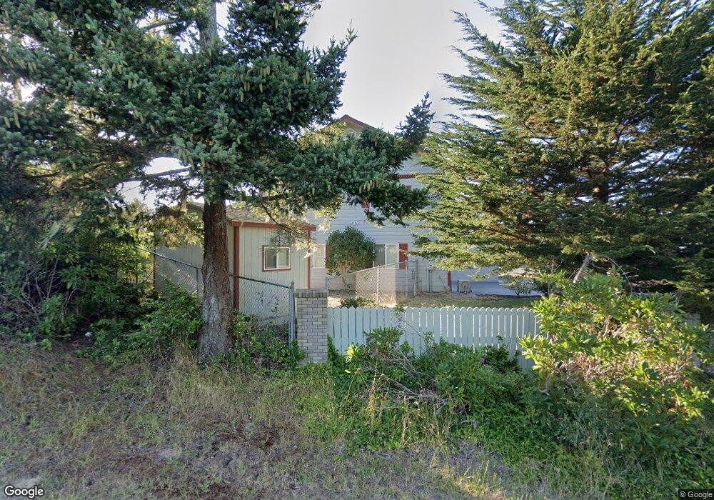
812 Lakeshore Dr Coos Bay, OR 97420
Estimated Value: $636,852
3
Beds
3
Baths
2,000
Sq Ft
$318/Sq Ft
Est. Value
About This Home
This home is located at 812 Lakeshore Dr, Coos Bay, OR 97420 and is currently estimated at $636,852, approximately $318 per square foot. 812 Lakeshore Dr is a home located in Coos County with nearby schools including Sunset School, Madison Elementary School, and Marshfield Senior High School.
Ownership History
Date
Name
Owned For
Owner Type
Purchase Details
Closed on
Aug 2, 2005
Sold by
Jorgensen Gilbert and Jorgensen Laura Giles
Bought by
Jorgensen Gilbert and Jorgensen Laura Giles
Current Estimated Value
Purchase Details
Closed on
Oct 27, 2004
Sold by
Wenbourne Steven D and Wenbourne Melody M
Bought by
Jorgensen Gilbert E and Jorgensen Laura Giles
Home Financials for this Owner
Home Financials are based on the most recent Mortgage that was taken out on this home.
Original Mortgage
$239,200
Outstanding Balance
$111,102
Interest Rate
4.75%
Mortgage Type
Purchase Money Mortgage
Estimated Equity
$525,750
Create a Home Valuation Report for This Property
The Home Valuation Report is an in-depth analysis detailing your home's value as well as a comparison with similar homes in the area
Home Values in the Area
Average Home Value in this Area
Purchase History
| Date | Buyer | Sale Price | Title Company |
|---|---|---|---|
| Jorgensen Gilbert | -- | -- | |
| Jorgensen Gilbert E | $299,000 | Fidelity National Title Co |
Source: Public Records
Mortgage History
| Date | Status | Borrower | Loan Amount |
|---|---|---|---|
| Open | Jorgensen Gilbert E | $239,200 |
Source: Public Records
Tax History Compared to Growth
Tax History
| Year | Tax Paid | Tax Assessment Tax Assessment Total Assessment is a certain percentage of the fair market value that is determined by local assessors to be the total taxable value of land and additions on the property. | Land | Improvement |
|---|---|---|---|---|
| 2024 | $6,113 | $351,710 | -- | -- |
| 2023 | $5,928 | $341,470 | $0 | $0 |
| 2022 | $5,831 | $331,530 | $0 | $0 |
| 2021 | $5,680 | $321,880 | $0 | $0 |
| 2020 | $5,520 | $321,880 | $0 | $0 |
| 2019 | $5,299 | $303,410 | $0 | $0 |
| 2018 | $5,117 | $294,580 | $0 | $0 |
| 2017 | $4,535 | $286,000 | $0 | $0 |
| 2016 | $4,329 | $277,670 | $0 | $0 |
| 2015 | $4,201 | $269,590 | $0 | $0 |
| 2014 | $4,184 | $264,300 | $0 | $0 |
Source: Public Records
Map
Nearby Homes
- 620 John Ave
- 736 Edwards Ave
- 755 Edwards
- 765 Edwards
- 903 Chickses Dr
- 0 Division Ave
- 1120 Lakeshore Dr
- 0 N Morrison St
- 1066 Pirates Ct
- 1366 Lakeshore Dr
- 1220 Seagate St
- 1227 Seagate St
- 0 N Cammann St
- 815 Fenwick St
- 283 N Main St
- 1125 Augustine Ave
- 1230 Seagate Ave
- 0 Seagate Ave Unit 24532470
- 1065 Fenwick St
- 1090 Sanford St
- 834 Lakeshore Dr
- 868 Lakeshore Dr
- 833 Lakeshore Dr
- 0 John Ave
- 727 John Ave
- 707 John Ave
- 779 John Ave
- 0 Leslie Ln Unit 21248380
- 805 John Ave
- 695 John Ave
- 825 John Ave
- 855 John Ave
- 0 John St
- 726 Edwards
- 762 Edwards
- 875 John Ave
- 0 Lakeshore Dr Unit 20487091
- 0 Lakeshore Dr Unit 18014335
- 0 Lakeshore Dr Unit 8007577
- 0 Lakeshore Dr Unit 8007568