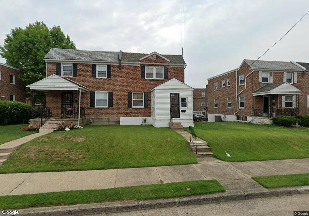
812 Laurel Rd Lansdowne, PA 19050
Estimated Value: $214,000 - $259,000
3
Beds
1
Bath
1,280
Sq Ft
$178/Sq Ft
Est. Value
About This Home
This home is located at 812 Laurel Rd, Lansdowne, PA 19050 and is currently estimated at $227,412, approximately $177 per square foot. 812 Laurel Rd is a home located in Delaware County with nearby schools including Evans Elementary School, Penn Wood Middle School, and Penn Wood High School - Cypress Street Campus.
Ownership History
Date
Name
Owned For
Owner Type
Purchase Details
Closed on
Aug 12, 2009
Sold by
Hanson Robert P
Bought by
Green Harold L
Current Estimated Value
Purchase Details
Closed on
May 20, 2009
Sold by
Hsbc Bank Usa National Association
Bought by
Hanson Robert P
Purchase Details
Closed on
Feb 19, 2009
Sold by
Simmons Evelyn
Bought by
Hsbc Bank Usa National Association
Purchase Details
Closed on
Nov 30, 2006
Sold by
Tursi Anthony J and Tursi Barbara J
Bought by
Simmons Evelyn
Home Financials for this Owner
Home Financials are based on the most recent Mortgage that was taken out on this home.
Original Mortgage
$103,500
Interest Rate
8.25%
Mortgage Type
Purchase Money Mortgage
Create a Home Valuation Report for This Property
The Home Valuation Report is an in-depth analysis detailing your home's value as well as a comparison with similar homes in the area
Home Values in the Area
Average Home Value in this Area
Purchase History
| Date | Buyer | Sale Price | Title Company |
|---|---|---|---|
| Green Harold L | $150,000 | None Available | |
| Hanson Robert P | $58,000 | Land Title Svcs Of Nj Inc | |
| Hsbc Bank Usa National Association | $111,318 | Land Title Svcs Of Nj Inc | |
| Hsbc Bank Usa National Association | -- | None Available | |
| Simmons Evelyn | $138,000 | None Available |
Source: Public Records
Mortgage History
| Date | Status | Borrower | Loan Amount |
|---|---|---|---|
| Previous Owner | Simmons Evelyn | $103,500 |
Source: Public Records
Tax History Compared to Growth
Tax History
| Year | Tax Paid | Tax Assessment Tax Assessment Total Assessment is a certain percentage of the fair market value that is determined by local assessors to be the total taxable value of land and additions on the property. | Land | Improvement |
|---|---|---|---|---|
| 2025 | $4,675 | $109,480 | $32,320 | $77,160 |
| 2024 | $4,675 | $109,480 | $32,320 | $77,160 |
| 2023 | $4,246 | $109,480 | $32,320 | $77,160 |
| 2022 | $4,048 | $109,480 | $32,320 | $77,160 |
| 2021 | $6,122 | $109,480 | $32,320 | $77,160 |
| 2020 | $4,042 | $64,720 | $18,650 | $46,070 |
| 2019 | $3,971 | $64,720 | $18,650 | $46,070 |
| 2018 | $3,916 | $64,720 | $0 | $0 |
| 2017 | $3,833 | $64,720 | $0 | $0 |
| 2016 | $362 | $64,720 | $0 | $0 |
| 2015 | $355 | $64,720 | $0 | $0 |
| 2014 | $355 | $64,720 | $0 | $0 |
Source: Public Records
Map
Nearby Homes
- 813 Arbor Rd
- 825 Laurel Rd
- 740 Church Ln
- 800 Bullock Ave
- 908 Yeadon Ave
- 711 Yeadon Ave Unit 1
- 722 Yeadon Ave
- 808 Serrill Ave
- 921 Serrill Ave
- 1016 Whitby Ave
- 939 Serrill Ave
- 702 Cedar Ave
- 923 Bell Ave
- 6535 Windsor St
- 1049 Yeadon Ave
- 1781 S 65th St
- 6718 Cobbs Creek Pkwy
- 536 Cypress St
- 1824 S 65th St
- 6564 Belmar St