812 Leeson Ave van Wert, OH 45891
Estimated Value: $174,000 - $191,000
4
Beds
2
Baths
1,968
Sq Ft
$92/Sq Ft
Est. Value
About This Home
This home is located at 812 Leeson Ave, van Wert, OH 45891 and is currently estimated at $181,908, approximately $92 per square foot. 812 Leeson Ave is a home located in Van Wert County with nearby schools including Van Wert Early Childhood Center, Van Wert High School, and Lifelinks Community School.
Ownership History
Date
Name
Owned For
Owner Type
Purchase Details
Closed on
May 26, 2021
Sold by
Parrish Kelly R
Bought by
Parrish David D
Current Estimated Value
Purchase Details
Closed on
May 20, 2021
Sold by
Parrish Kelly R
Bought by
Parrish David D
Purchase Details
Closed on
Apr 25, 2012
Sold by
Jones James Bruce
Bought by
Parrish David D
Home Financials for this Owner
Home Financials are based on the most recent Mortgage that was taken out on this home.
Original Mortgage
$60,000
Interest Rate
3.91%
Mortgage Type
New Conventional
Purchase Details
Closed on
Apr 27, 2004
Bought by
Parrish David D
Create a Home Valuation Report for This Property
The Home Valuation Report is an in-depth analysis detailing your home's value as well as a comparison with similar homes in the area
Home Values in the Area
Average Home Value in this Area
Purchase History
| Date | Buyer | Sale Price | Title Company |
|---|---|---|---|
| Parrish David D | -- | None Available | |
| Parrish David D | -- | None Listed On Document | |
| Parrish David D | $75,000 | Attorney | |
| Parrish David D | $75,000 | -- | |
| Parrish David D | $75,000 | -- |
Source: Public Records
Mortgage History
| Date | Status | Borrower | Loan Amount |
|---|---|---|---|
| Previous Owner | Parrish David D | $60,000 |
Source: Public Records
Tax History
| Year | Tax Paid | Tax Assessment Tax Assessment Total Assessment is a certain percentage of the fair market value that is determined by local assessors to be the total taxable value of land and additions on the property. | Land | Improvement |
|---|---|---|---|---|
| 2024 | $1,675 | $48,040 | $4,970 | $43,070 |
| 2023 | $1,648 | $48,040 | $4,970 | $43,070 |
| 2022 | $1,302 | $32,930 | $3,700 | $29,230 |
| 2021 | $1,268 | $32,930 | $3,700 | $29,230 |
| 2020 | $1,232 | $32,930 | $3,700 | $29,230 |
| 2019 | $1,117 | $29,330 | $3,700 | $25,630 |
| 2018 | $1,097 | $29,330 | $3,700 | $25,630 |
| 2017 | $1,079 | $29,330 | $3,700 | $25,630 |
| 2016 | $1,009 | $28,300 | $3,700 | $24,600 |
| 2015 | $1,010 | $28,300 | $3,700 | $24,600 |
| 2014 | $999 | $28,300 | $3,700 | $24,600 |
| 2013 | $1,075 | $28,300 | $3,700 | $24,600 |
Source: Public Records
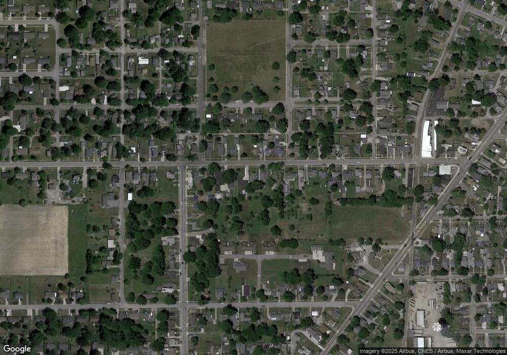
Map
Nearby Homes
- 624 S Shannon St
- 522 South Ave
- 129 S Lynn St
- 931 Kiger St
- 949 Southway St
- 326 Gordon Ave
- 114 S Wall St
- 1328 Kathy St
- 255 Parkview Dr
- 000 Lincoln Hwy
- 14934 Lincoln Hwy
- 00 Lincoln Hwy
- 631 S Washington St
- 1120 Park St
- 142 E Raymond St
- 302 Shaffer St
- 129 Balyeat Ave
- 151 Blaine St
- 1312 Rye Dr
- 1440 Moby Ct