812 N First St Hampton, VA 23664
Buckroe Beach NeighborhoodEstimated Value: $854,241 - $1,081,000
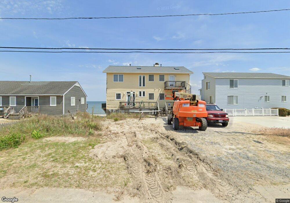
About This Home
This home is located at 812 N First St, Hampton, VA 23664 and is currently estimated at $951,810, approximately $360 per square foot. 812 N First St is a home located in Hampton City with nearby schools including Francis Asbury Elementary School, Benjamin Syms Middle School, and Phoebus High School.
Ownership History
We collect this data history from publicly available records. To have your information removed, we recommend requesting removal directly through your county’s website.
Purchase Details
Purchase Details
Purchase Details
Home Values in the Area
Average Home Value in this Area
Purchase History
We collect this data history from publicly available records. To have your information removed, we recommend requesting removal directly through your county’s website.
| Date | Buyer | Sale Price | Title Company |
|---|---|---|---|
| -- | None Listed On Document | ||
| -- | None Listed On Document | ||
| -- | None Available | ||
| $23,380 | -- |
Tax History
We collect this data history from publicly available records. To have your information removed, we recommend requesting removal directly through your county’s website.
| Year | Tax Paid | Tax Assessment Tax Assessment Total Assessment is a certain percentage of the fair market value that is determined by local assessors to be the total taxable value of land and additions on the property. | Land | Improvement |
|---|---|---|---|---|
| 2025 | $9,483 | $818,300 | $354,300 | $464,000 |
| 2024 | $8,942 | $777,600 | $328,400 | $449,200 |
| 2023 | $9,020 | $777,600 | $328,400 | $449,200 |
| 2022 | $7,441 | $630,600 | $249,000 | $381,600 |
| 2021 | $7,027 | $556,200 | $249,000 | $307,200 |
| 2020 | $6,619 | $533,800 | $249,000 | $284,800 |
| 2019 | $6,353 | $512,300 | $249,000 | $263,300 |
| 2018 | $6,446 | $512,300 | $249,000 | $263,300 |
| 2017 | $6,446 | $0 | $0 | $0 |
| 2016 | $6,446 | $512,300 | $0 | $0 |
| 2015 | $6,446 | $0 | $0 | $0 |
| 2014 | $6,736 | $531,000 | $267,700 | $263,300 |
Map
- 21 Channel Ln
- 7 Channel Ln
- 22 Channel Ln
- 34 Channel Ln
- 6 Channel Ln
- 1031 High Dunes Quay Unit 103
- 1011 High Dunes Quay
- 774 N First St
- 1003 High Dunes Quay Unit 206
- 1024 Porte Harbour Arch Unit 104
- 1024 Porte Harbour Arch Unit 201
- 1024 Porte Harbour Arch Unit 302
- 1024 Porte Harbour Arch
- 1024 Porte Harbour Arch Unit 202
- 1030 Porte Harbour Arch
- 1033 Porte Harbour Arch
- 1039 Porte Harbour Arch
- 231 Benthall Rd
- 750 N First St
- 128 Genoa Dr Unit 19
Ask me questions while you tour the home.