812 Riverside St Maupin, OR 97037
Estimated Value: $180,000 - $310,000
1
Bed
1
Bath
1,260
Sq Ft
$208/Sq Ft
Est. Value
About This Home
This home is located at 812 Riverside St, Maupin, OR 97037 and is currently estimated at $261,519, approximately $207 per square foot. 812 Riverside St is a home located in Wasco County with nearby schools including South Wasco County Elementary School and South Wasco County High School.
Ownership History
Date
Name
Owned For
Owner Type
Purchase Details
Closed on
Nov 18, 2025
Sold by
Shepley William Bruce
Bought by
Wm Bruce Shepley Trust and Shepley
Current Estimated Value
Purchase Details
Closed on
Jun 2, 2020
Sold by
Rea Neal F and Rea Jana J
Bought by
Norton Casey and Calhoun Scott
Purchase Details
Closed on
Dec 7, 2019
Sold by
Schmidt Ludwig C
Bought by
Norton Casey and Calhoun Scott
Purchase Details
Closed on
Mar 1, 2018
Sold by
Rea Neal and Rea Jana
Bought by
Rea Neal F and Rea Jana J
Purchase Details
Closed on
Feb 6, 2008
Sold by
Leeming Barbara Lea
Bought by
Shepley William Bruce
Purchase Details
Closed on
Aug 8, 2005
Sold by
Norton John M
Bought by
Neerman Paul C and Neerman Glenda M
Create a Home Valuation Report for This Property
The Home Valuation Report is an in-depth analysis detailing your home's value as well as a comparison with similar homes in the area
Purchase History
| Date | Buyer | Sale Price | Title Company |
|---|---|---|---|
| Wm Bruce Shepley Trust | -- | None Listed On Document | |
| Norton Casey | $46,000 | Accommodation | |
| Norton Casey | $45,000 | Accommodation | |
| Rea Neal F | -- | None Available | |
| Shepley William Bruce | -- | -- | |
| Neerman Paul C | -- | -- |
Source: Public Records
Tax History
| Year | Tax Paid | Tax Assessment Tax Assessment Total Assessment is a certain percentage of the fair market value that is determined by local assessors to be the total taxable value of land and additions on the property. | Land | Improvement |
|---|---|---|---|---|
| 2025 | $2,831 | $156,322 | -- | -- |
| 2024 | $2,614 | $151,769 | -- | -- |
| 2023 | $2,634 | $147,349 | $0 | $0 |
| 2022 | $2,574 | $7,130 | $0 | $0 |
| 2021 | $2,479 | $6,530 | $0 | $0 |
| 2020 | $2,325 | $6,530 | $0 | $0 |
| 2019 | $2,259 | $6,530 | $0 | $0 |
| 2018 | $2,130 | $127,104 | $0 | $0 |
| 2017 | $2,130 | $123,402 | $0 | $0 |
| 2016 | $2,073 | $119,808 | $0 | $0 |
Source: Public Records
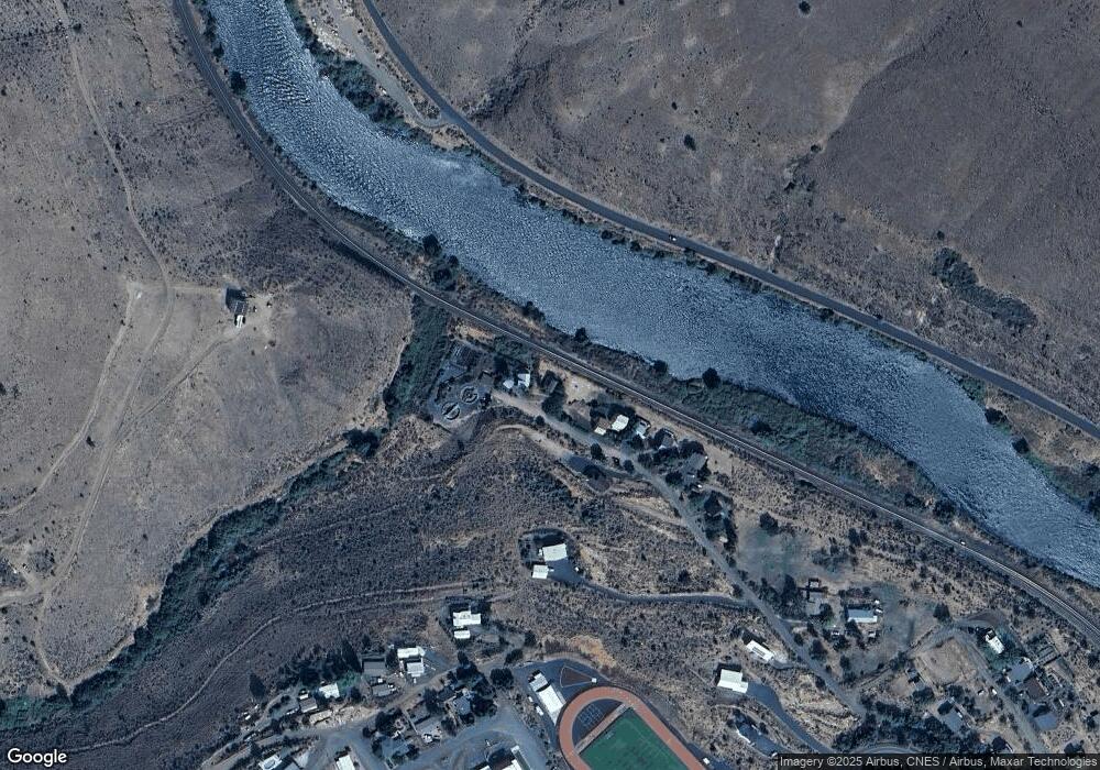
Map
Nearby Homes
- 804 Riverside St
- 510 Grant Ave
- 501 Deschutes Ave
- 605 Grant Ave
- 299 4th St
- 407 Dufur Ave
- 390 Elrod Place
- 99 3rd St
- 614 Staats Ave
- 507 Elrod Ave
- 624 Staats Ave
- 322 Alan Ln
- 1206 U S 197
- 210 Hartman Ave
- 0 U S 197
- 1504 Fish Tail Rd
- 1515 Fish Tail Rd
- 0 George Jackson Rd Unit 22438833
- 55264 Paulson Rd
- 0 Unit 499242286
- 810 Riverside St
- 814 Riverside St
- 808 Riverside St
- 807 Riverside St
- 806 Riverside St
- 701 Riverside St
- 802 Riverside St
- 702 Riverside St
- 312 Lincoln Ave
- 400 Lincoln Ave
- 402 Lloyd Ave
- 408 Lincoln Ave
- 504 Gray Eagle Rd
- 408 Lloyd Ave
- 505 Gray Eagle Rd Unit 3
- 505 Gray Eagle Rd
- 0 Gray Eagle Rd Unit 8091878
- 0 Gray Eagle Rd Unit 8037426
- 0 Gray Eagle Rd Unit 8037420
- 0 Gray Eagle Rd Unit 2 9032800
Your Personal Tour Guide
Ask me questions while you tour the home.