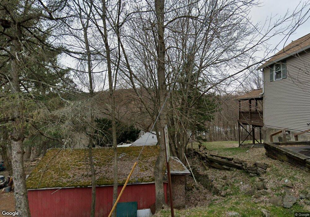
812 Rock St Archbald, PA 18403
Estimated Value: $107,962 - $162,000
--
Bed
--
Bath
--
Sq Ft
8,015
Sq Ft Lot
About This Home
This home is located at 812 Rock St, Archbald, PA 18403 and is currently estimated at $136,741. 812 Rock St is a home located in Lackawanna County with nearby schools including Valley View Intermediate School, Valley View Middle School, and Valley View High School.
Ownership History
Date
Name
Owned For
Owner Type
Purchase Details
Closed on
Sep 23, 2015
Sold by
Surma Marie
Bought by
Merrifield William G
Current Estimated Value
Purchase Details
Closed on
Oct 19, 2009
Sold by
Marjer Inc
Bought by
Surma Albert and Surma Marie
Home Financials for this Owner
Home Financials are based on the most recent Mortgage that was taken out on this home.
Original Mortgage
$9,000
Interest Rate
4.98%
Mortgage Type
Purchase Money Mortgage
Purchase Details
Closed on
Oct 13, 2009
Sold by
Marjer Inc
Bought by
Marjer Inc
Home Financials for this Owner
Home Financials are based on the most recent Mortgage that was taken out on this home.
Original Mortgage
$9,000
Interest Rate
4.98%
Mortgage Type
Purchase Money Mortgage
Purchase Details
Closed on
Feb 18, 2009
Sold by
Fife Floyd
Bought by
Marjer Inc
Create a Home Valuation Report for This Property
The Home Valuation Report is an in-depth analysis detailing your home's value as well as a comparison with similar homes in the area
Home Values in the Area
Average Home Value in this Area
Purchase History
| Date | Buyer | Sale Price | Title Company |
|---|---|---|---|
| Merrifield William G | $5,000 | Attorney | |
| Surma Albert | $11,000 | None Available | |
| Marjer Inc | -- | None Available | |
| Marjer Inc | $1,500 | None Available |
Source: Public Records
Mortgage History
| Date | Status | Borrower | Loan Amount |
|---|---|---|---|
| Previous Owner | Surma Albert | $9,000 |
Source: Public Records
Tax History Compared to Growth
Tax History
| Year | Tax Paid | Tax Assessment Tax Assessment Total Assessment is a certain percentage of the fair market value that is determined by local assessors to be the total taxable value of land and additions on the property. | Land | Improvement |
|---|---|---|---|---|
| 2025 | $1,312 | $5,100 | $200 | $4,900 |
| 2024 | $1,126 | $5,100 | $200 | $4,900 |
| 2023 | $1,126 | $5,100 | $200 | $4,900 |
| 2022 | $1,090 | $5,100 | $200 | $4,900 |
| 2021 | $1,088 | $5,100 | $200 | $4,900 |
| 2020 | $1,067 | $5,100 | $200 | $4,900 |
| 2019 | $990 | $5,100 | $200 | $4,900 |
| 2018 | $972 | $5,100 | $200 | $4,900 |
| 2017 | $967 | $5,100 | $200 | $4,900 |
| 2016 | $394 | $5,100 | $200 | $4,900 |
| 2015 | -- | $5,100 | $200 | $4,900 |
| 2014 | -- | $5,100 | $200 | $4,900 |
Source: Public Records
Map
Nearby Homes
- 590 N Main St
- 430 Salem Rd
- 0 Forest Ln
- 112 Pine St
- 140 Cemetery St
- 217 219 Laurel St
- 00 Hickory St
- 0 Skyline Dr
- 0 Ledgewood Dr
- 818 Henry St
- 0 Joel (Lot 30) Dr
- 287 Main St Unit REAR STURGES
- 197 Columbus Dr
- 462 Delaware St
- 0 Joel (Lot 34) Dr Unit GSBSC3073
- 0 Jamie (Lot 11) Dr Unit GSBSC3086
- 0 Joel (Lot 50) Dr Unit GSBSC3078
- 0 Joel (Lot 51) Dr Unit GSBSC3079
- 322 Shadow Wood Cir Unit U13
- 192 Shadow Wood Cir