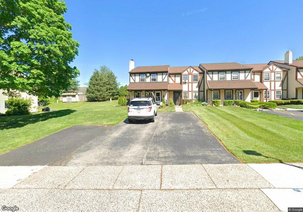
812 Sandra Ln Unit 28 Norristown, PA 19403
Estimated Value: $294,000 - $301,000
3
Beds
2
Baths
1,480
Sq Ft
$201/Sq Ft
Est. Value
About This Home
This home is located at 812 Sandra Ln Unit 28, Norristown, PA 19403 and is currently estimated at $297,196, approximately $200 per square foot. 812 Sandra Ln Unit 28 is a home located in Montgomery County with nearby schools including Paul V Fly Elementary School, Charles Blockson Middle School, and East Norriton Middle School.
Ownership History
Date
Name
Owned For
Owner Type
Purchase Details
Closed on
Jan 23, 2017
Sold by
Gorman Brenda L and Richards Michael P
Bought by
Ebbert Brian
Current Estimated Value
Home Financials for this Owner
Home Financials are based on the most recent Mortgage that was taken out on this home.
Original Mortgage
$157,200
Outstanding Balance
$130,208
Interest Rate
4.3%
Mortgage Type
FHA
Estimated Equity
$166,988
Purchase Details
Closed on
Nov 17, 2009
Sold by
Gorman James M and Gorman Brenda L
Bought by
Gorman Brenda L and Richards Michael P
Home Financials for this Owner
Home Financials are based on the most recent Mortgage that was taken out on this home.
Original Mortgage
$150,000
Interest Rate
5%
Purchase Details
Closed on
Oct 28, 1997
Sold by
Granieri Joyce E and Granieri Robert J
Bought by
Gorman James M and Gorman Brenda L
Create a Home Valuation Report for This Property
The Home Valuation Report is an in-depth analysis detailing your home's value as well as a comparison with similar homes in the area
Home Values in the Area
Average Home Value in this Area
Purchase History
| Date | Buyer | Sale Price | Title Company |
|---|---|---|---|
| Ebbert Brian | $16,000,000 | None Available | |
| Gorman Brenda L | -- | None Available | |
| Gorman James M | $103,000 | -- |
Source: Public Records
Mortgage History
| Date | Status | Borrower | Loan Amount |
|---|---|---|---|
| Open | Ebbert Brian | $157,200 | |
| Previous Owner | Gorman Brenda L | $150,000 |
Source: Public Records
Tax History Compared to Growth
Tax History
| Year | Tax Paid | Tax Assessment Tax Assessment Total Assessment is a certain percentage of the fair market value that is determined by local assessors to be the total taxable value of land and additions on the property. | Land | Improvement |
|---|---|---|---|---|
| 2025 | $4,733 | $100,480 | $25,130 | $75,350 |
| 2024 | $4,733 | $100,480 | $25,130 | $75,350 |
| 2023 | $4,678 | $100,480 | $25,130 | $75,350 |
| 2022 | $4,647 | $100,480 | $25,130 | $75,350 |
| 2021 | $4,617 | $100,480 | $25,130 | $75,350 |
| 2020 | $4,474 | $100,480 | $25,130 | $75,350 |
| 2019 | $4,370 | $100,480 | $25,130 | $75,350 |
| 2018 | $4,371 | $100,480 | $25,130 | $75,350 |
| 2017 | $4,116 | $100,480 | $25,130 | $75,350 |
| 2016 | $4,077 | $100,480 | $25,130 | $75,350 |
| 2015 | $3,956 | $100,480 | $25,130 | $75,350 |
| 2014 | $3,864 | $100,480 | $25,130 | $75,350 |
Source: Public Records
Map
Nearby Homes
- 805 Sandra Ln
- 515 Faith Dr
- 511 Faith Dr
- 758 Sandra Ln
- 805 Stonybrook Dr
- 911 Caralea Dr
- 1110 Stonybrook Dr
- 1803 Sweet Gum Dr
- 3006 Potshop Rd
- 3122 Taft Rd
- 2158 Alexander Dr
- 1104 Arden Dr Unit METHACTON SCHOOL
- 00 Arden Dr Unit METHACTON SCHOOL
- 2020 Sterigere St
- 123 Barley Sheaf Dr Unit 23
- 2937 Keenwood Rd
- 3218 Nottingham Rd
- 0 Windy Hill Rd Unit METHACTON SD
- 155 Avondale Rd
- 166 Hoover Ave