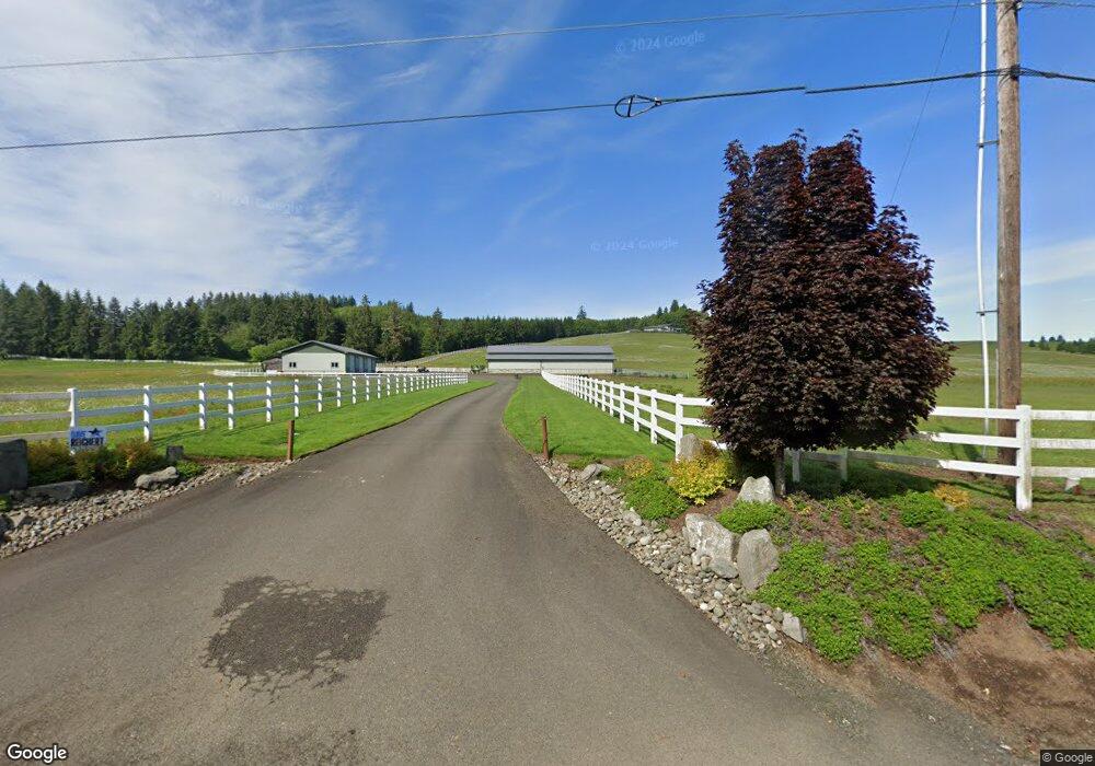
812 State Route 6 Raymond, WA 98577
Estimated Value: $1,192,000 - $1,849,710
3
Beds
3
Baths
7,754
Sq Ft
$196/Sq Ft
Est. Value
About This Home
This home is located at 812 State Route 6, Raymond, WA 98577 and is currently estimated at $1,520,855, approximately $196 per square foot. 812 State Route 6 is a home located in Pacific County with nearby schools including Willapa Elementary School and Willapa Valley Junior/Senior High School.
Ownership History
Date
Name
Owned For
Owner Type
Purchase Details
Closed on
Nov 9, 2012
Sold by
Glenn Guy
Bought by
Colburn Kevin T
Current Estimated Value
Home Financials for this Owner
Home Financials are based on the most recent Mortgage that was taken out on this home.
Original Mortgage
$200,000
Outstanding Balance
$137,876
Interest Rate
3.34%
Mortgage Type
Purchase Money Mortgage
Estimated Equity
$1,382,979
Create a Home Valuation Report for This Property
The Home Valuation Report is an in-depth analysis detailing your home's value as well as a comparison with similar homes in the area
Home Values in the Area
Average Home Value in this Area
Purchase History
| Date | Buyer | Sale Price | Title Company |
|---|---|---|---|
| Colburn Kevin T | $230,000 | First American Title Ins Co |
Source: Public Records
Mortgage History
| Date | Status | Borrower | Loan Amount |
|---|---|---|---|
| Open | Colburn Kevin T | $200,000 |
Source: Public Records
Tax History Compared to Growth
Tax History
| Year | Tax Paid | Tax Assessment Tax Assessment Total Assessment is a certain percentage of the fair market value that is determined by local assessors to be the total taxable value of land and additions on the property. | Land | Improvement |
|---|---|---|---|---|
| 2025 | $11,331 | $1,587,100 | $181,300 | $1,405,800 |
| 2024 | $11,331 | $1,587,100 | $181,300 | $1,405,800 |
| 2023 | $12,426 | $1,554,100 | $148,300 | $1,405,800 |
| 2022 | $13,539 | $1,318,400 | $115,300 | $1,203,100 |
| 2021 | $10,915 | $1,190,900 | $93,300 | $1,097,600 |
| 2020 | $13,688 | $1,162,100 | $93,300 | $1,068,800 |
| 2019 | $2,734 | $231,100 | $45,300 | $185,800 |
| 2018 | $3,406 | $231,100 | $45,300 | $185,800 |
| 2017 | $3,173 | $231,100 | $45,300 | $185,800 |
| 2015 | $522 | $35,300 | $35,300 | $0 |
| 2014 | -- | $35,300 | $35,300 | $0 |
| 2012 | -- | $59,900 | $36,200 | $23,700 |
Source: Public Records
Map
Nearby Homes
- 125 Mill Creek Rd
- 1024 State Route 6
- 0 xxx Rue Creek Rd
- 47 Alexander Rd
- 2001 Heckard Rd
- 1655 Wheaton St
- 0 X Lilly Wheaton Rd
- 2900 Mallis Landing Rd
- 1470 Armstrong St
- 0 Clement Rd Unit NWM2437075
- 0 Willapa Rd
- 948 Cole Ave
- 257 State Route 6
- 0 X Willapa Rd
- 1851 Bloomhardt Rd
- 925 Limit St
- 1508 Bloomhardt Rd
- 0 XXX Henkle (Hwy 6) St
- 1849 Gerber St
- 0 XXX Gerber Ave
- 783 State Route 6
- 882 State Route 6
- 753 State Route 6
- 0 S Fork Ln Unit 832766
- 0 S Fork Ln Unit 1204673
- 0 S Fork Ln Unit 952461
- 0 S Fork Ln Unit 29042911
- 0 S Fork Ln Unit 29042894
- 0 S Fork Rd
- 0 S Fork Ln Unit 1977164
- 0 S Fork Ln Unit 16130273
- 0 S Fork Ln Unit 19656083
- 0 S Fork Ln Unit 1435686
- 1 S South Fork Rd S
- 17 S Fork Rd
- 124 S Fork Rd
- 885 State Route 6
- 49 S Fork Rd
- 50 Camp One Rd
- 10 Camp One Rd