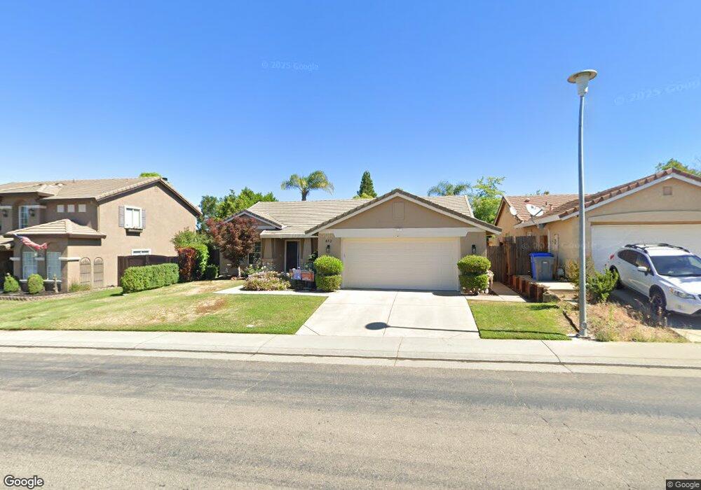
812 Stewart St Folsom, CA 95630
Prairie Oaks NeighborhoodEstimated Value: $681,705 - $730,000
About This Home
This home is located at 812 Stewart St, Folsom, CA 95630 and is currently estimated at $713,426, approximately $394 per square foot. 812 Stewart St is a home located in Sacramento County with nearby schools including Sandra J. Gallardo Elementary School, Sutter Middle School, and Folsom High School.
Ownership History
We collect this data history from publicly available records. To have your information removed, we recommend requesting removal directly through your county’s website.
Purchase Details
Purchase Details
Home Financials for this Owner
Home Financials are based on the most recent Mortgage that was taken out on this home.Home Values in the Area
Average Home Value in this Area
Purchase History
We collect this data history from publicly available records. To have your information removed, we recommend requesting removal directly through your county’s website.
| Date | Buyer | Sale Price | Title Company |
|---|---|---|---|
| -- | None Available | ||
| $185,500 | First American Title Ins Co |
Mortgage History
We collect this data history from publicly available records. To have your information removed, we recommend requesting removal directly through your county’s website.
| Date | Status | Borrower | Loan Amount |
|---|---|---|---|
| Open | $148,000 |
Tax History
We collect this data history from publicly available records. To have your information removed, we recommend requesting removal directly through your county’s website.
| Year | Tax Paid | Tax Assessment Tax Assessment Total Assessment is a certain percentage of the fair market value that is determined by local assessors to be the total taxable value of land and additions on the property. | Land | Improvement |
|---|---|---|---|---|
| 2025 | $3,654 | $290,060 | $59,555 | $230,505 |
| 2024 | $3,579 | $284,374 | $58,388 | $225,986 |
| 2023 | $3,514 | $278,799 | $57,244 | $221,555 |
| 2022 | $3,450 | $273,333 | $56,122 | $217,211 |
| 2021 | $3,410 | $267,974 | $55,022 | $212,952 |
| 2020 | $3,059 | $265,227 | $54,458 | $210,769 |
| 2019 | $3,011 | $260,028 | $53,391 | $206,637 |
| 2018 | $2,940 | $254,931 | $52,345 | $202,586 |
| 2017 | $4,171 | $249,933 | $51,319 | $198,614 |
| 2016 | $4,295 | $245,033 | $50,313 | $194,720 |
| 2015 | $4,150 | $241,354 | $49,558 | $191,796 |
| 2014 | $3,994 | $236,627 | $48,588 | $188,039 |
Map
- 131 Royalton Cir
- 130 Royalton Cir
- 493 Williams St
- 124 Sutcliffe Cir
- 708 Taylor St
- 600 Fisher Cir
- 580 Borges Ct
- 301 Blossom Rock Ln Unit 53
- 1010 Thompson Cir
- 401 Blossom Rock Ln
- 401 Blossom Rock Ln Unit 13
- 1024 Kirby Ct
- 1001 Ferry Cir Unit 101
- 611 Willow Ridge Ct
- 200 Luna Cir
- 114 Barnhill Dr
- 108 Burwood Way
- 401 Seaton Dr
- 396 Seaton Dr
- 301 Russi Ct
Ask me questions while you tour the home.