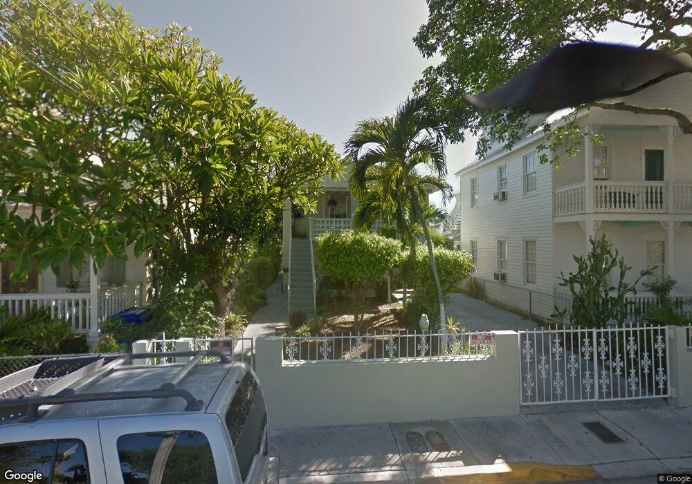
812 Thomas St Key West, FL 33040
Old Town NeighborhoodEstimated Value: $1,440,597 - $1,704,000
6
Beds
2
Baths
1,728
Sq Ft
$895/Sq Ft
Est. Value
About This Home
This home is located at 812 Thomas St, Key West, FL 33040 and is currently estimated at $1,546,149, approximately $894 per square foot. 812 Thomas St is a home located in Monroe County with nearby schools including Gerald Adams Elementary School, Key West High School, and May Sands Montessori School.
Ownership History
Date
Name
Owned For
Owner Type
Purchase Details
Closed on
Aug 14, 2025
Sold by
Rose Marci L
Bought by
Select Properties Of Northwest Florida Llc
Current Estimated Value
Home Financials for this Owner
Home Financials are based on the most recent Mortgage that was taken out on this home.
Original Mortgage
$1,345,583
Interest Rate
6.67%
Mortgage Type
Construction
Purchase Details
Closed on
Jan 7, 2000
Sold by
Grant Roy D and Grant Claudina
Bought by
Rose Marci L
Home Financials for this Owner
Home Financials are based on the most recent Mortgage that was taken out on this home.
Original Mortgage
$23,750
Interest Rate
7.8%
Mortgage Type
Commercial
Create a Home Valuation Report for This Property
The Home Valuation Report is an in-depth analysis detailing your home's value as well as a comparison with similar homes in the area
Home Values in the Area
Average Home Value in this Area
Purchase History
| Date | Buyer | Sale Price | Title Company |
|---|---|---|---|
| Select Properties Of Northwest Florida Llc | $1,440,000 | None Listed On Document | |
| Rose Marci L | $250,000 | -- |
Source: Public Records
Mortgage History
| Date | Status | Borrower | Loan Amount |
|---|---|---|---|
| Closed | Select Properties Of Northwest Florida Llc | $1,345,583 | |
| Previous Owner | Rose Marci L | $227,000 | |
| Previous Owner | Rose Marci L | $245,000 | |
| Previous Owner | Rose Marci L | $23,750 |
Source: Public Records
Tax History
| Year | Tax Paid | Tax Assessment Tax Assessment Total Assessment is a certain percentage of the fair market value that is determined by local assessors to be the total taxable value of land and additions on the property. | Land | Improvement |
|---|---|---|---|---|
| 2025 | $10,101 | $1,357,077 | $1,009,966 | $347,111 |
| 2024 | $9,702 | $1,271,952 | $925,802 | $346,150 |
| 2023 | $9,702 | $1,270,491 | $925,802 | $344,689 |
| 2022 | $8,078 | $913,782 | $561,092 | $352,690 |
| 2021 | $7,594 | $769,457 | $465,877 | $303,580 |
| 2020 | $7,295 | $762,648 | $452,274 | $310,374 |
| 2019 | $7,000 | $766,615 | $457,375 | $309,240 |
| 2018 | $6,554 | $700,668 | $451,023 | $249,645 |
| 2017 | $6,357 | $707,291 | $0 | $0 |
| 2016 | $6,347 | $703,514 | $0 | $0 |
| 2015 | $6,157 | $684,277 | $0 | $0 |
| 2014 | $5,420 | $501,622 | $0 | $0 |
Source: Public Records
Map
Nearby Homes
- 709 Chapman Ln
- 705 Chapman Ln
- 720 Emma St
- 813 Thomas St
- 120 Angela St Unit 102
- 817 Terry Ln
- 209 Olivia St
- 620 Thomas St Unit 175
- 620 Thomas St Unit 268
- 620 Thomas St Unit 291
- 204 Southard St Unit 5
- 612 Mickens Ln
- 212 Southard St
- 405 Petronia St
- 919 Thomas St
- 106 Southard St Unit 9
- 625 Whitehead St
- 927 Thomas St Unit 2
- 927 Thomas St Unit 4
- 322 Southard St
- 810 Thomas St
- 818 Thomas St
- 6 Baptist Ln
- 816 Thomas St
- 822 Thomas St
- 5 Baptist Ln
- 5 Baptist Ln Unit 5
- 806 Thomas St
- 806 Thomas St Unit J
- 806 Thomas St Unit I
- 806 Thomas St Unit H
- 806 Thomas St Unit G
- 806 Thomas St Unit F
- 806 Thomas St Unit E
- 806 Thomas St Unit D
- 806 Thomas St Unit C
- 806 Thomas St Unit B
- 806 Thomas St Unit A
- 813 Patone St
- 813 Baptist Ln
Your Personal Tour Guide
Ask me questions while you tour the home.