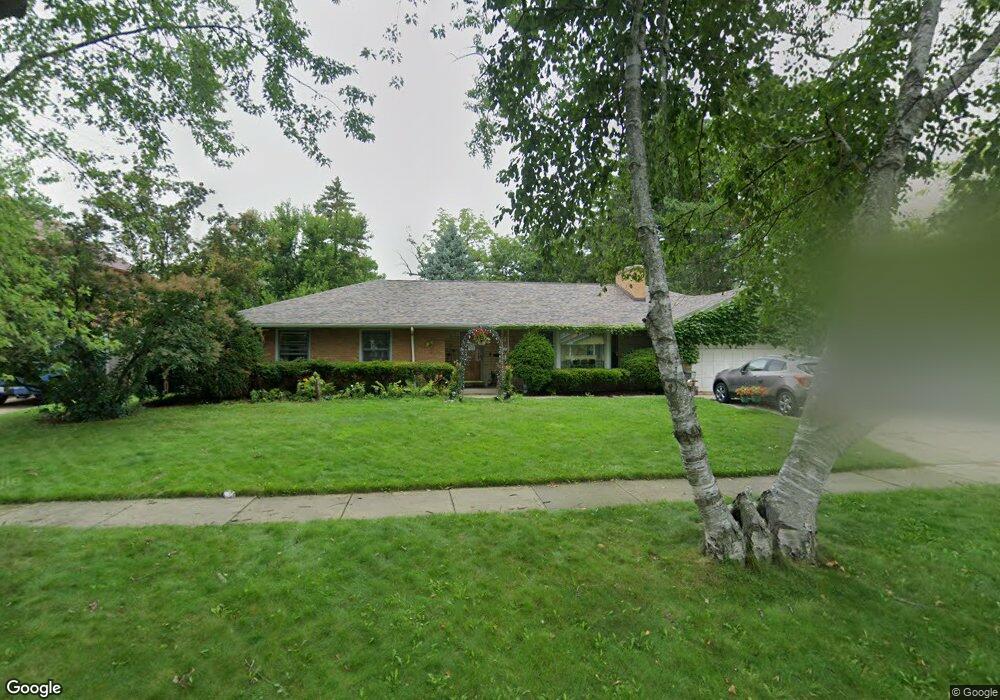
812 W Atlantic Ave Waukegan, IL 60085
Marquette Highlands NeighborhoodEstimated Value: $314,000 - $326,000
3
Beds
2
Baths
1,942
Sq Ft
$165/Sq Ft
Est. Value
About This Home
This home is located at 812 W Atlantic Ave, Waukegan, IL 60085 and is currently estimated at $320,530, approximately $165 per square foot. 812 W Atlantic Ave is a home located in Lake County with nearby schools including Greenwood Elementary School, Edith M Smith Middle School, and Waukegan High School.
Ownership History
Date
Name
Owned For
Owner Type
Purchase Details
Closed on
Jul 28, 2005
Sold by
Scherwat Donald H and Scherwat Rosemary G
Bought by
Rosiles Raul C and Rosiles Gabriela D
Current Estimated Value
Home Financials for this Owner
Home Financials are based on the most recent Mortgage that was taken out on this home.
Original Mortgage
$200,158
Outstanding Balance
$105,348
Interest Rate
5.69%
Mortgage Type
FHA
Estimated Equity
$215,182
Create a Home Valuation Report for This Property
The Home Valuation Report is an in-depth analysis detailing your home's value as well as a comparison with similar homes in the area
Home Values in the Area
Average Home Value in this Area
Purchase History
| Date | Buyer | Sale Price | Title Company |
|---|---|---|---|
| Rosiles Raul C | $203,000 | -- |
Source: Public Records
Mortgage History
| Date | Status | Borrower | Loan Amount |
|---|---|---|---|
| Open | Rosiles Raul C | $200,158 |
Source: Public Records
Tax History Compared to Growth
Tax History
| Year | Tax Paid | Tax Assessment Tax Assessment Total Assessment is a certain percentage of the fair market value that is determined by local assessors to be the total taxable value of land and additions on the property. | Land | Improvement |
|---|---|---|---|---|
| 2024 | $7,883 | $101,572 | $12,900 | $88,672 |
| 2023 | $8,447 | $91,603 | $11,634 | $79,969 |
| 2022 | $8,447 | $92,406 | $14,151 | $78,255 |
| 2021 | $7,322 | $76,227 | $12,623 | $63,604 |
| 2020 | $7,370 | $71,015 | $11,760 | $59,255 |
| 2019 | $7,364 | $65,074 | $10,776 | $54,298 |
| 2018 | $6,985 | $60,408 | $15,251 | $45,157 |
| 2017 | $6,749 | $53,444 | $13,493 | $39,951 |
| 2016 | $6,249 | $46,441 | $11,725 | $34,716 |
| 2015 | $6,008 | $41,565 | $10,494 | $31,071 |
| 2014 | $4,269 | $30,773 | $10,491 | $20,282 |
| 2012 | $5,511 | $33,340 | $11,367 | $21,973 |
Source: Public Records
Map
Nearby Homes
- 1018 W Atlantic Ave
- 616 W Keith Ave
- 1335 Chestnut St
- 1336 N Ash St
- 1312 N Linden Ave
- 1905 Linden Ave
- 1105 Woodlawn Cir
- 1110 N Ash St
- 1504 W Glen Flora Ave
- 1000 Pine St
- 918 N Ash St
- 917 N Linden Ave
- 1117 Judge Ave
- 415 W Ridgeland Ave
- 1109 Massena Ave
- 1038 Indiana Ave
- 824 N Butrick St
- 1023 N Elmwood Ave
- 2232 Walnut St
- 2008 Harding Ave
- 818 W Atlantic Ave
- 1600 Chestnut St
- 822 W Atlantic Ave
- 815 W Keith Ave
- 811 W Keith Ave
- 819 W Keith Ave
- 805 W Keith Ave
- 1605 N Jackson St
- 823 W Keith Ave
- 1620 Chestnut St
- 1531 N Jackson St
- 1609 N Jackson St
- 1605 Chestnut St
- 815 W Atlantic Ave
- 811 W Atlantic Ave
- 807 W Atlantic Ave
- 1529 N Jackson St
- 803 W Atlantic Ave
- 1625 Chestnut St
- 801 W Atlantic Ave