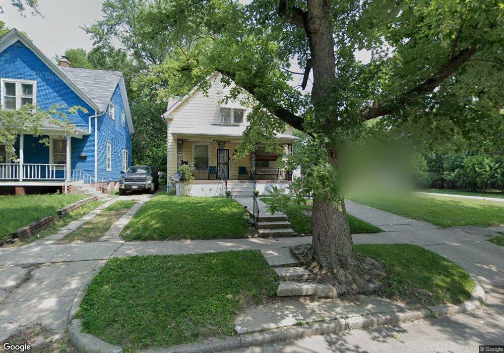
812 W Leafland Ave Decatur, IL 62522
Garfield Park NeighborhoodEstimated Value: $26,000 - $44,000
--
Bed
--
Bath
840
Sq Ft
$43/Sq Ft
Est. Value
About This Home
This home is located at 812 W Leafland Ave, Decatur, IL 62522 and is currently estimated at $36,064, approximately $42 per square foot. 812 W Leafland Ave is a home located in Macon County with nearby schools including Stephen Decatur Middle School, St. Patrick School, and Teen Challenge-Home For Girls.
Ownership History
Date
Name
Owned For
Owner Type
Purchase Details
Closed on
Nov 3, 2005
Sold by
Shepherd Robert and Shepherd Julie D
Bought by
Shepherd Steven L
Current Estimated Value
Home Financials for this Owner
Home Financials are based on the most recent Mortgage that was taken out on this home.
Original Mortgage
$3,120
Outstanding Balance
$1,694
Interest Rate
5.89%
Mortgage Type
New Conventional
Estimated Equity
$34,370
Purchase Details
Closed on
Jan 6, 2005
Sold by
American General Finance Inc
Bought by
Shepherd Robert
Create a Home Valuation Report for This Property
The Home Valuation Report is an in-depth analysis detailing your home's value as well as a comparison with similar homes in the area
Home Values in the Area
Average Home Value in this Area
Purchase History
| Date | Buyer | Sale Price | Title Company |
|---|---|---|---|
| Shepherd Steven L | $39,000 | None Available | |
| Shepherd Robert | $7,500 | None Available |
Source: Public Records
Mortgage History
| Date | Status | Borrower | Loan Amount |
|---|---|---|---|
| Open | Shepherd Steven L | $3,120 |
Source: Public Records
Tax History Compared to Growth
Tax History
| Year | Tax Paid | Tax Assessment Tax Assessment Total Assessment is a certain percentage of the fair market value that is determined by local assessors to be the total taxable value of land and additions on the property. | Land | Improvement |
|---|---|---|---|---|
| 2024 | $805 | $8,317 | $442 | $7,875 |
| 2023 | $798 | $8,022 | $426 | $7,596 |
| 2022 | $774 | $7,566 | $394 | $7,172 |
| 2021 | $727 | $7,066 | $368 | $6,698 |
| 2020 | $716 | $6,737 | $350 | $6,387 |
| 2019 | $716 | $6,737 | $350 | $6,387 |
| 2018 | $775 | $7,374 | $254 | $7,120 |
| 2017 | $793 | $7,571 | $261 | $7,310 |
| 2016 | $808 | $7,649 | $264 | $7,385 |
| 2015 | $768 | $7,513 | $259 | $7,254 |
| 2014 | $830 | $8,661 | $222 | $8,439 |
| 2013 | $858 | $8,986 | $230 | $8,756 |
Source: Public Records
Map
Nearby Homes
- 837 W Grand Ave
- 1545 N Monroe St
- 1504 N Monroe St
- 1245 N Union St
- 644 W Division St
- 1653 N Maple Ave
- 933 W Division St
- 925 W Olive St
- 1458 N Union St
- 844 N Edward St
- 875 N Monroe St
- 415 W Green St
- 1065 W Green St
- 1915 N Monroe St
- 141 E Packard St
- 917 N Wilder Ave
- 1558 N Main St
- 1568 N Main St
- 1319 W Waggoner St
- 958 W William St
- 1237 N Pine St
- 820 W Leafland Ave
- 804 W Leafland Ave
- 828 W Leafland Ave
- 1245 N Pine St
- 836 W Leafland Ave
- 738 W Leafland Ave
- 811 W Leafland Ave
- 1230 N Pine St
- 844 W Leafland Ave
- 1234 N Pine St
- 807 W Leafland Ave
- 850 W Leafland Ave
- 811 W Grand Ave
- 819 W Grand Ave
- 821 W Leafland Ave
- 829 W Grand Ave
- 829 W Leafland Ave
- 737 W Leafland Ave
- 837 W Leafland Ave