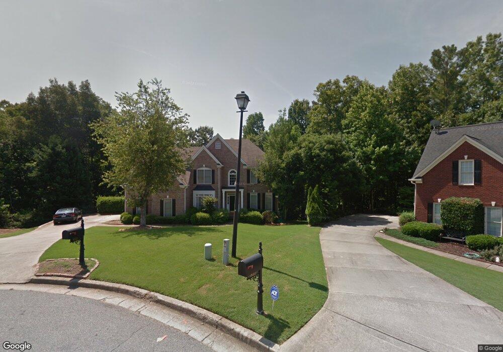
812 White Rock Trail Unit 2 Suwanee, GA 30024
Estimated Value: $618,059 - $723,000
3
Beds
3
Baths
2,857
Sq Ft
$231/Sq Ft
Est. Value
About This Home
This home is located at 812 White Rock Trail Unit 2, Suwanee, GA 30024 and is currently estimated at $659,515, approximately $230 per square foot. 812 White Rock Trail Unit 2 is a home located in Gwinnett County with nearby schools including Level Creek Elementary School, North Gwinnett Middle School, and North Gwinnett High School.
Ownership History
Date
Name
Owned For
Owner Type
Purchase Details
Closed on
May 29, 1997
Sold by
Sharp Development
Bought by
Byun Seung K
Current Estimated Value
Home Financials for this Owner
Home Financials are based on the most recent Mortgage that was taken out on this home.
Original Mortgage
$189,324
Outstanding Balance
$26,598
Interest Rate
8.87%
Mortgage Type
New Conventional
Estimated Equity
$632,917
Create a Home Valuation Report for This Property
The Home Valuation Report is an in-depth analysis detailing your home's value as well as a comparison with similar homes in the area
Home Values in the Area
Average Home Value in this Area
Purchase History
| Date | Buyer | Sale Price | Title Company |
|---|---|---|---|
| Byun Seung K | $211,900 | -- |
Source: Public Records
Mortgage History
| Date | Status | Borrower | Loan Amount |
|---|---|---|---|
| Open | Byun Seung K | $189,324 |
Source: Public Records
Tax History Compared to Growth
Tax History
| Year | Tax Paid | Tax Assessment Tax Assessment Total Assessment is a certain percentage of the fair market value that is determined by local assessors to be the total taxable value of land and additions on the property. | Land | Improvement |
|---|---|---|---|---|
| 2025 | $6,170 | $257,200 | $44,080 | $213,120 |
| 2024 | $5,737 | $227,560 | $39,200 | $188,360 |
| 2023 | $5,737 | $227,560 | $39,200 | $188,360 |
| 2022 | $6,347 | $203,200 | $39,200 | $164,000 |
| 2021 | $5,268 | $160,200 | $29,440 | $130,760 |
| 2020 | $4,894 | $144,600 | $29,440 | $115,160 |
| 2019 | $4,080 | $140,320 | $35,600 | $104,720 |
| 2018 | $4,100 | $140,320 | $35,600 | $104,720 |
| 2016 | $3,824 | $127,560 | $32,400 | $95,160 |
| 2015 | $3,569 | $113,840 | $27,000 | $86,840 |
| 2014 | -- | $113,840 | $27,000 | $86,840 |
Source: Public Records
Map
Nearby Homes
- 4544 Silver Peak Pkwy
- 837 Village Manor Place
- 858 Red Rock Ct
- 4335 Landover Way Unit 3
- 655 Grove Manor Ct
- 4282 Goldfield Trace Unit 4
- 755 Amberton Close Unit 2
- 735 Amberton Close
- 1350 Peachtree Industrial Blvd
- 4339 Lansfaire Terrace Unit 4
- 780 Village Field Ct
- 1116 Bartlett Trace
- 4569 Campenille Trace
- 1199 Bennett Creek Overlook
- 1179 Bennett Creek Overlook
- 1119 Bennett Creek Overlook
- 1309 Bennett Creek Overlook
- 817 White Rock Trail Unit 2
- 4427 Rocky Peak Ct
- 802 White Rock Trail
- 4432 Rocky Peak Ct
- 807 White Rock Trail Unit 2
- 792 White Rock Trail
- 759 Rocky Peak Dr Unit 1
- 4417 Rocky Peak Ct
- 4435 Red Rock Point Unit 4
- 797 White Rock Trail
- 787 White Rock Trail
- 772 White Rock Trail
- 4422 Rocky Peak Ct
- 749 Rocky Peak Dr Unit 1
- 4425 Red Rock Point
- 4425 Red Rock Point
- 1170 Landover Crossing Unit 3
- 777 White Rock Trail Unit 2
- 4412 Rocky Peak Ct
- 752 White Rock Trail Unit 2