812 Wiggins Rd Angier, NC 27501
Pleasant Grove NeighborhoodEstimated Value: $238,000
2
Beds
2
Baths
980
Sq Ft
$243/Sq Ft
Est. Value
About This Home
This home is located at 812 Wiggins Rd, Angier, NC 27501 and is currently estimated at $238,000, approximately $242 per square foot. 812 Wiggins Rd is a home located in Johnston County with nearby schools including McGee's Crossroads Elementary School, McGee's Crossroads Middle School, and West Johnston High School.
Ownership History
Date
Name
Owned For
Owner Type
Purchase Details
Closed on
Feb 25, 2025
Sold by
Wilson Don Edward
Bought by
Wilson Don Edward and Wilson Garette
Current Estimated Value
Purchase Details
Closed on
Jan 14, 2016
Sold by
Loveand John F and Love Teresa C
Bought by
Wilson Don Edward
Purchase Details
Closed on
Feb 27, 2015
Sold by
Love John Franklin and Love Teresa Kay
Bought by
Love John Franklin and Love Teresa C
Create a Home Valuation Report for This Property
The Home Valuation Report is an in-depth analysis detailing your home's value as well as a comparison with similar homes in the area
Home Values in the Area
Average Home Value in this Area
Purchase History
| Date | Buyer | Sale Price | Title Company |
|---|---|---|---|
| Wilson Don Edward | -- | None Listed On Document | |
| Wilson Don Edward | -- | None Listed On Document | |
| Wilson Don Edward | $44,000 | None Available | |
| Love John Franklin | -- | None Available |
Source: Public Records
Tax History Compared to Growth
Tax History
| Year | Tax Paid | Tax Assessment Tax Assessment Total Assessment is a certain percentage of the fair market value that is determined by local assessors to be the total taxable value of land and additions on the property. | Land | Improvement |
|---|---|---|---|---|
| 2025 | $381 | $60,000 | $54,000 | $6,000 |
| 2024 | $241 | $29,700 | $25,200 | $4,500 |
| 2023 | $260 | $29,700 | $25,200 | $4,500 |
| 2022 | $270 | $29,700 | $25,200 | $4,500 |
| 2021 | $271 | $29,700 | $25,200 | $4,500 |
| 2020 | $282 | $29,700 | $25,200 | $4,500 |
| 2019 | $294 | $29,700 | $25,200 | $4,500 |
| 2018 | $231 | $23,080 | $19,700 | $3,380 |
| 2017 | $233 | $23,080 | $19,700 | $3,380 |
| 2016 | $232 | $23,080 | $19,700 | $3,380 |
| 2015 | $236 | $23,080 | $19,700 | $3,380 |
| 2014 | $236 | $23,080 | $19,700 | $3,380 |
Source: Public Records
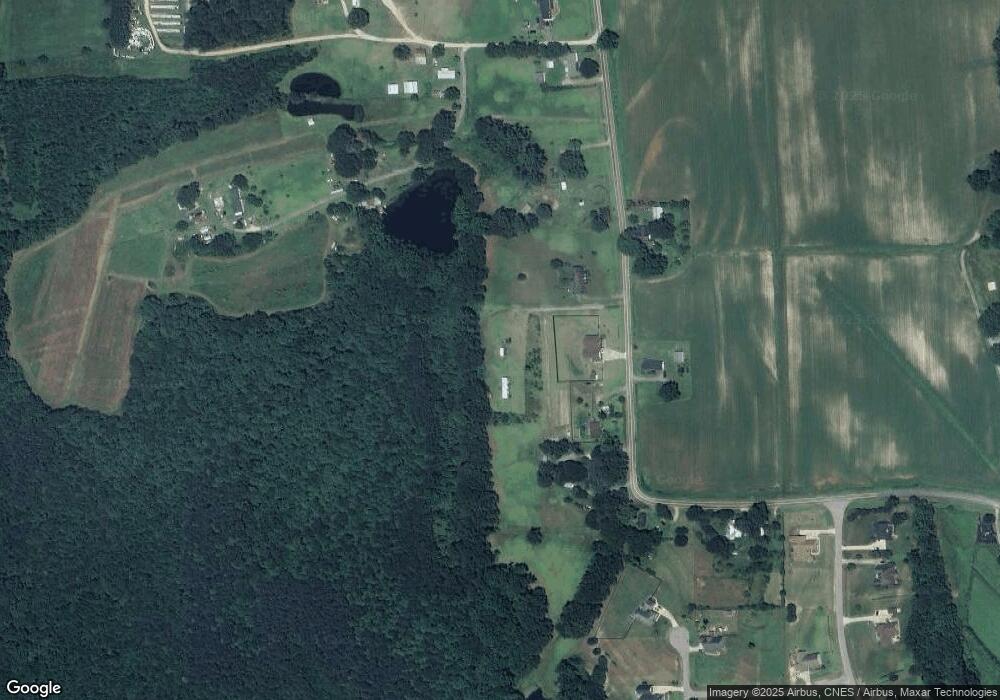
Map
Nearby Homes
- 38.2 Acres Wiggins Rd
- 105 Pinecrest Dr
- 100 Pine Needle Dr
- 506 Harbor Cove Dr
- 197 Silverside Dr
- Cypress Plan at Cedar Ridge
- Wescott Plan at Cedar Ridge
- Colfax Plan at Cedar Ridge
- Edgefield Plan at Cedar Ridge
- Cooper Plan at Cedar Ridge
- Hamilton Plan at Cedar Ridge
- Davidson Plan at Cedar Ridge
- McDowell Plan at Cedar Ridge
- 204 West Rd
- 115 Wiggins Rd
- 230 Paula Dr
- 160 Old Cabin Ct
- 264 Harbor Cove Dr
- 156 Harbor Cove Dr
- 135 Brookstone Way
- 778 Wiggins Rd
- 830 Wiggins Rd
- 870 Wiggins Rd
- 841 Wiggins Rd
- 890 Wiggins Rd
- 777 Wiggins Rd
- 730 Wiggins Rd
- 912 Wiggins Rd
- 690 Wiggins Rd
- 958 Wiggins Rd
- 680 Wiggins Rd
- 680 Wiggins Rd Unit F
- 680 Wiggins Rd Unit C
- 680 Wiggins Rd Unit B
- 49 N Creekcrest Ct
- 49 N Creekcrest Ct Unit 25
- 670 Wiggins Rd
- 29 N Creekcrest Ct
- 29 N Creekcrest Ct Unit 24
- 16.1 Acres Wiggins Rd