Estimated Value: $363,000 - $382,000
5
Beds
3
Baths
2,900
Sq Ft
$129/Sq Ft
Est. Value
About This Home
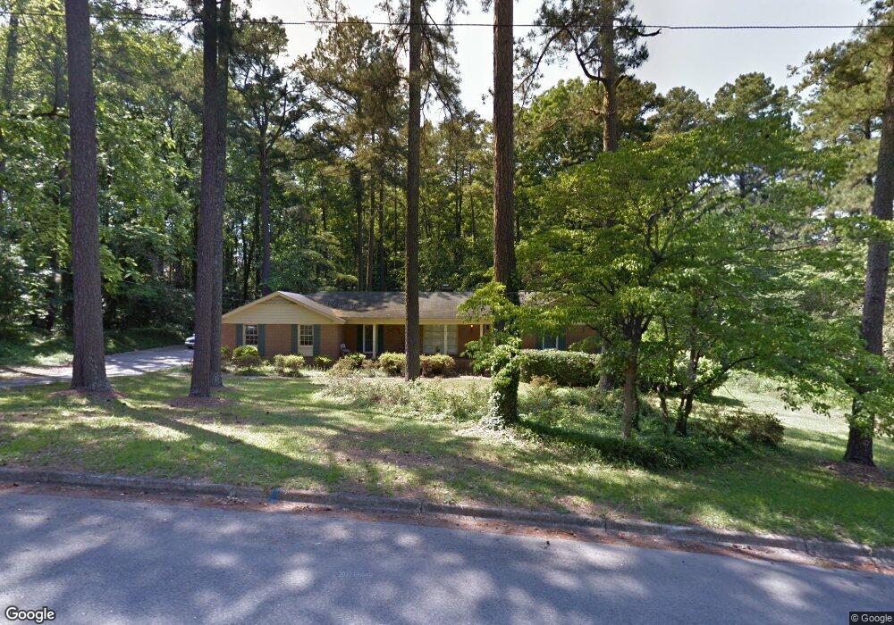
This home is located at 8120 Sir Galahad Dr, Evans, GA 30809 and is currently estimated at $372,950, approximately $128 per square foot. 8120 Sir Galahad Dr is a home located in Columbia County with nearby schools including Evans Elementary School, John F. Kennedy Middle School, and Evans Middle School.
Ownership History
Date
Name
Owned For
Owner Type
Purchase Details
Closed on
Nov 29, 2004
Sold by
Culbreth George D
Bought by
Culbreth George D and Culbreth Jacquelyn K
Current Estimated Value
Home Financials for this Owner
Home Financials are based on the most recent Mortgage that was taken out on this home.
Original Mortgage
$104,000
Outstanding Balance
$51,172
Interest Rate
5.57%
Mortgage Type
Stand Alone Refi Refinance Of Original Loan
Estimated Equity
$321,778
Purchase Details
Closed on
Jun 13, 2002
Sold by
Beggs Lawrence J and Beggs Melanie
Bought by
Culbreth George D and Culbreth Jacquelyn K
Home Financials for this Owner
Home Financials are based on the most recent Mortgage that was taken out on this home.
Original Mortgage
$100,000
Interest Rate
6.77%
Mortgage Type
Purchase Money Mortgage
Create a Home Valuation Report for This Property
The Home Valuation Report is an in-depth analysis detailing your home's value as well as a comparison with similar homes in the area
Home Values in the Area
Average Home Value in this Area
Purchase History
| Date | Buyer | Sale Price | Title Company |
|---|---|---|---|
| Culbreth George D | -- | -- | |
| Culbreth George D | $172,500 | -- |
Source: Public Records
Mortgage History
| Date | Status | Borrower | Loan Amount |
|---|---|---|---|
| Open | Culbreth George D | $104,000 | |
| Closed | Culbreth George D | $100,000 |
Source: Public Records
Tax History Compared to Growth
Tax History
| Year | Tax Paid | Tax Assessment Tax Assessment Total Assessment is a certain percentage of the fair market value that is determined by local assessors to be the total taxable value of land and additions on the property. | Land | Improvement |
|---|---|---|---|---|
| 2025 | $995 | $39,229 | $26,724 | $12,505 |
| 2024 | $3,465 | $136,336 | $26,724 | $109,612 |
| 2023 | $3,465 | $113,657 | $19,364 | $94,293 |
| 2022 | $2,532 | $95,211 | $17,764 | $77,447 |
| 2021 | $2,405 | $86,298 | $14,324 | $71,974 |
| 2020 | $2,390 | $83,989 | $17,444 | $66,545 |
| 2019 | $2,314 | $81,238 | $17,444 | $63,794 |
| 2018 | $2,038 | $71,058 | $12,964 | $58,094 |
| 2017 | $1,939 | $67,273 | $12,964 | $54,309 |
| 2016 | $1,869 | $67,137 | $12,940 | $54,197 |
| 2015 | $1,976 | $71,006 | $15,820 | $55,186 |
| 2014 | $2,059 | $73,140 | $15,820 | $57,320 |
Source: Public Records
Map
Nearby Homes
- 4421 Hereford Farm Rd
- 4560 Mulberry Creek Dr
- 489 Connemara Trail
- 464 Rachel Dr
- 4586 Oxford Ct
- 525 Pheasant Run Dr
- 4597 Gray Ln
- 4569 Gray Ln
- 586 Gibbs Rd
- 854 Sparkleberry Rd
- 203 N Belair Rd
- 2975 Rosewood Dr
- 726 Whitney Shoals Rd
- 4648 Leeward Dr
- 00 N Belair Rd
- 4670 La Pointe
- 599 Windward Ct
- 4426 Summerlin Dr
- 4664 La Pointe
- 4489 Woodberry Ct
- 8122 Sir Galahad Dr
- 539 Waterford Dr
- 8121 Sir Galahad Dr
- 541 Waterford Dr
- 537 Waterford Dr
- 543 Waterford Dr
- 8123 Sir Galahad Dr
- 535 Waterford Dr
- 8124 Sir Galahad Dr
- 540 Waterford Dr
- 545 Waterford Dr
- 533 Waterford Dr
- 538 Waterford Dr
- 542 Waterford Dr
- 8118 Sir Galahad Dr
- 547 Waterford Dr
- 8125 Sir Galahad Dr
- 536 Waterford Dr
- 8126 Sir Galahad Dr
- 9116 Chalice Cir