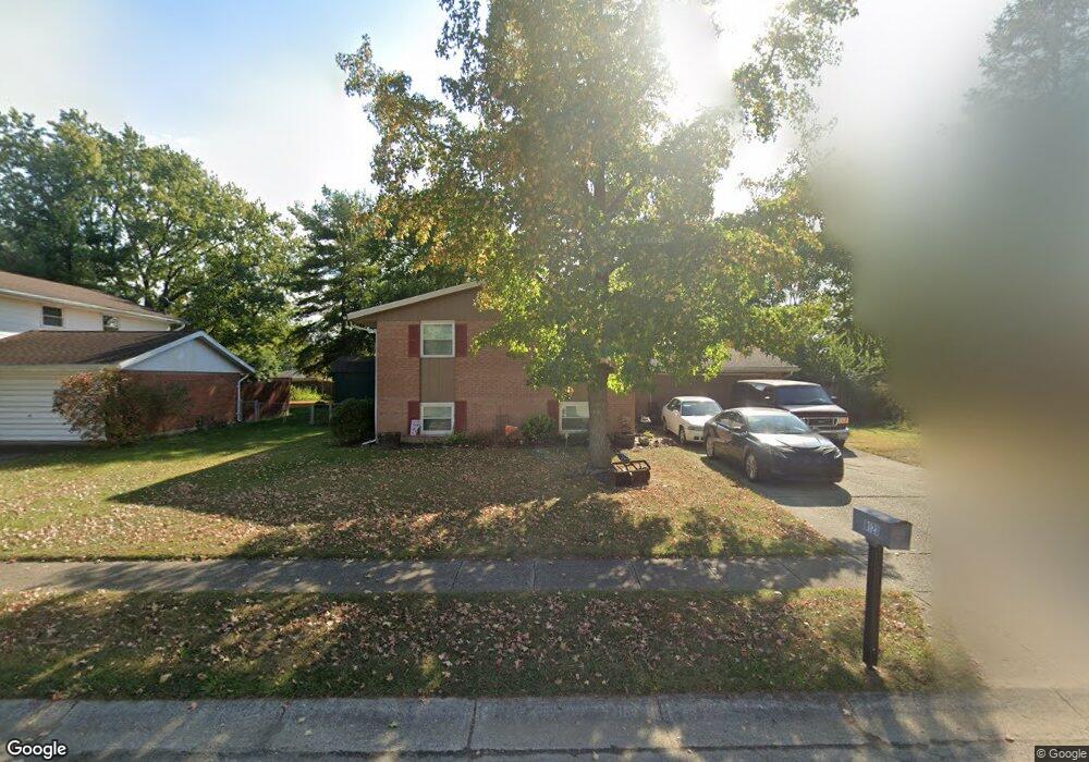
8123 Wescott Ave Fairborn, OH 45324
Estimated Value: $218,030 - $228,000
4
Beds
2
Baths
1,136
Sq Ft
$196/Sq Ft
Est. Value
About This Home
This home is located at 8123 Wescott Ave, Fairborn, OH 45324 and is currently estimated at $222,758, approximately $196 per square foot. 8123 Wescott Ave is a home located in Clark County with nearby schools including Greenon Elementary School, Greenon Jr. High School, and Greenon High School.
Ownership History
Date
Name
Owned For
Owner Type
Purchase Details
Closed on
Nov 19, 1998
Sold by
Munch Timothy Lee and Munch Lisa A
Bought by
Walden Timothy
Current Estimated Value
Home Financials for this Owner
Home Financials are based on the most recent Mortgage that was taken out on this home.
Original Mortgage
$115,900
Outstanding Balance
$25,298
Interest Rate
6.59%
Mortgage Type
Purchase Money Mortgage
Estimated Equity
$197,460
Create a Home Valuation Report for This Property
The Home Valuation Report is an in-depth analysis detailing your home's value as well as a comparison with similar homes in the area
Home Values in the Area
Average Home Value in this Area
Purchase History
| Date | Buyer | Sale Price | Title Company |
|---|---|---|---|
| Walden Timothy | $121,000 | Gem City Land Title Agency I |
Source: Public Records
Mortgage History
| Date | Status | Borrower | Loan Amount |
|---|---|---|---|
| Open | Walden Timothy | $115,900 |
Source: Public Records
Tax History Compared to Growth
Tax History
| Year | Tax Paid | Tax Assessment Tax Assessment Total Assessment is a certain percentage of the fair market value that is determined by local assessors to be the total taxable value of land and additions on the property. | Land | Improvement |
|---|---|---|---|---|
| 2024 | $2,840 | $53,920 | $9,280 | $44,640 |
| 2023 | $2,840 | $53,920 | $9,280 | $44,640 |
| 2022 | $2,837 | $53,920 | $9,280 | $44,640 |
| 2021 | $2,618 | $44,080 | $7,480 | $36,600 |
| 2020 | $2,624 | $44,080 | $7,480 | $36,600 |
| 2019 | $2,660 | $44,080 | $7,480 | $36,600 |
| 2018 | $2,631 | $42,960 | $7,480 | $35,480 |
| 2017 | $2,658 | $45,108 | $7,483 | $37,625 |
| 2016 | $2,319 | $45,108 | $7,483 | $37,625 |
| 2015 | $2,317 | $43,880 | $7,483 | $36,397 |
| 2014 | $2,303 | $43,880 | $7,483 | $36,397 |
| 2013 | $2,041 | $43,880 | $7,483 | $36,397 |
Source: Public Records
Map
Nearby Homes
- 8111 Wescott Ave
- 5206 Wakefield Dr
- 4772 Pheasanthill Ct
- 8721 Haddix Rd
- 7035 Creekside Cir
- 7581 Dayton Springfield Rd
- 5463 Enon-Xenia Rd
- 1901 Armstrong Rd
- 1022 Stoneybrook Trail
- 806 Spring Lake Cir Unit 6
- 2113 Wellington Ct
- 3306 Westchester Ct
- 1695 Wimbledon Dr
- 4538 Cynthia Dr
- 6891 Joseph Dr
- 579 Woodhaven Trail
- 6835 Joseph Dr
- 4441 S Xenia Dr
- 4312 Tamara St
- 5201 Clearcreek Trail
- 8129 Wescott Ave
- 8117 Wescott Ave
- 5221 Ottawa Dr
- 5215 Ottawa Dr
- 8135 Wescott Ave
- 8126 Wescott Ave
- 8120 Wescott Ave
- 5227 Ottawa Dr
- 8132 Wescott Ave
- 5209 Ottawa Dr
- 8105 Wescott Ave
- 8138 Wescott Ave
- 5310 Keturah Dr
- 8110 Wescott Ave
- 5316 Keturah Dr
- 5324 Keturah Dr
- 8128 Gibson Ave
- 8035 Wescott Ave
- 5292 Keturah Dr
- 5 Rigby Ct