Estimated Value: $827,000 - $923,777
5
Beds
4
Baths
3,783
Sq Ft
$231/Sq Ft
Est. Value
About This Home
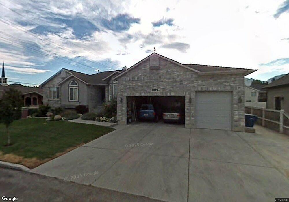
This home is located at 8125 S 1060 E, Sandy, UT 84094 and is currently estimated at $874,944, approximately $231 per square foot. 8125 S 1060 E is a home located in Salt Lake County with nearby schools including East Sandy School, Union Middle School, and Hillcrest High School.
Ownership History
Date
Name
Owned For
Owner Type
Purchase Details
Closed on
Feb 22, 2019
Sold by
Rider Steven B and Rider Karen F
Bought by
Rider Steven and Rider Karen
Current Estimated Value
Purchase Details
Closed on
Mar 27, 2012
Sold by
Clayton Robert F
Bought by
Rider Steven B and Rider Karen F
Home Financials for this Owner
Home Financials are based on the most recent Mortgage that was taken out on this home.
Original Mortgage
$303,200
Outstanding Balance
$208,631
Interest Rate
3.83%
Mortgage Type
New Conventional
Estimated Equity
$666,313
Purchase Details
Closed on
Jul 13, 2001
Sold by
Clayton Robert F and Clayton Tyra B
Bought by
Clayton Robert F and Clayton Tyra B
Purchase Details
Closed on
Apr 17, 2000
Sold by
Premier Land Development Lc
Bought by
Clayton Robert F and Clayton Tyra B
Purchase Details
Closed on
Jul 28, 1999
Sold by
Larsen Gregory A
Bought by
Premier Land Development Lc
Create a Home Valuation Report for This Property
The Home Valuation Report is an in-depth analysis detailing your home's value as well as a comparison with similar homes in the area
Home Values in the Area
Average Home Value in this Area
Purchase History
| Date | Buyer | Sale Price | Title Company |
|---|---|---|---|
| Rider Steven | -- | None Available | |
| Rider Steven B | -- | Cottonwood Title | |
| Clayton Robert F | -- | -- | |
| Clayton Robert F | -- | Merrill Title | |
| Premier Land Development Lc | -- | Merrill Title |
Source: Public Records
Mortgage History
| Date | Status | Borrower | Loan Amount |
|---|---|---|---|
| Open | Rider Steven B | $303,200 |
Source: Public Records
Tax History
| Year | Tax Paid | Tax Assessment Tax Assessment Total Assessment is a certain percentage of the fair market value that is determined by local assessors to be the total taxable value of land and additions on the property. | Land | Improvement |
|---|---|---|---|---|
| 2025 | $452 | $848,100 | $242,500 | $605,600 |
| 2024 | $452 | $812,400 | $233,400 | $579,000 |
| 2023 | -- | $727,100 | $224,400 | $502,700 |
| 2022 | $0 | $742,300 | $220,000 | $522,300 |
| 2021 | $3,754 | $574,500 | $192,000 | $382,500 |
| 2020 | $3,705 | $535,000 | $167,100 | $367,900 |
| 2019 | $3,606 | $507,200 | $157,600 | $349,600 |
| 2016 | $3,127 | $411,700 | $142,000 | $269,700 |
Source: Public Records
Map
Nearby Homes
- 8136 S Cottonwood Hills Cir
- 1065 E Fallbrook Way
- 7899 S 930 E
- 8373 S 1100 E Unit 39
- 7755 S 1130 E
- 8268 S 865 E
- 991 Merewood Ct
- 8352 S 1330 E
- 8485 S Harvard Park Dr
- 954 E 7725 S
- 760 E 8080 S
- 7819 S Spruce Tree Ln
- 798 E Spruce Tree Ln
- 8583 S Harvard Park Dr
- 7614 S 1000 E
- 1341 E Creek Rd
- 1448 E Estrellita Dr
- 8390 S 745 E
- 8411 S 1475 E
- 744 E 8425 S
- 8126 S Hidden Springs Cove
- 8133 Smart Ln
- 8130 S Smart Ln
- 8130 S Smart Ln
- 8083 S Barnwood Way
- 8083 Barnwood Way
- 8126 Smart Ln
- 8126 Hidden Springs Cove
- 8139 Smart Ln
- 8127 S Smart Ln
- 1092 Old Dairy Rd
- 1066 Milky Way
- 1066 E Milky Way
- 8126 S Smart Ln
- 8132 Hidden Springs Cove
- 8130 S 1060 Ln E
- 8077 Barnwood Way
- 1055 E Smart Ln
- 8139 S 1060 E
- 1055 Smart Ln
Your Personal Tour Guide
Ask me questions while you tour the home.