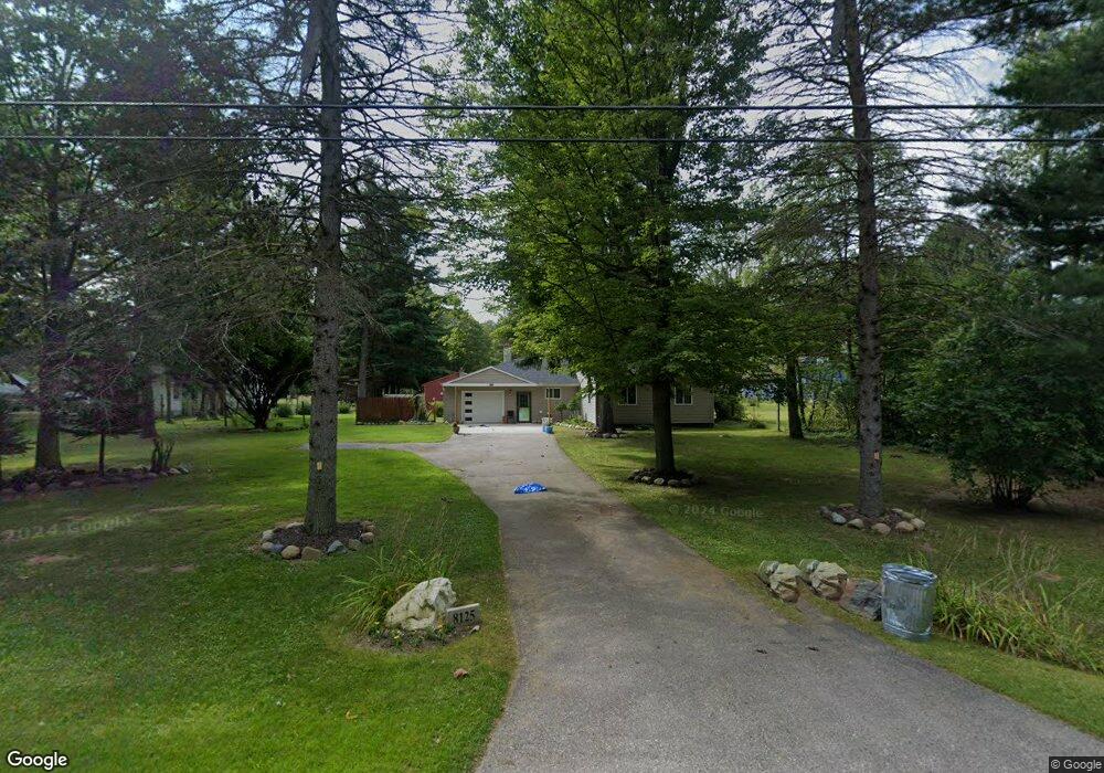
8125 Sparling Rd Wales, MI 48027
Wales Township NeighborhoodEstimated Value: $230,541 - $281,000
3
Beds
1
Bath
1,160
Sq Ft
$220/Sq Ft
Est. Value
About This Home
This home is located at 8125 Sparling Rd, Wales, MI 48027 and is currently estimated at $255,385, approximately $220 per square foot. 8125 Sparling Rd is a home located in St. Clair County with nearby schools including Kimball Elementary School, Central Middle School, and Port Huron High School.
Ownership History
Date
Name
Owned For
Owner Type
Purchase Details
Closed on
Oct 16, 2009
Sold by
Barshaw Revocable Living Trust
Bought by
Hunt Marcie L
Current Estimated Value
Home Financials for this Owner
Home Financials are based on the most recent Mortgage that was taken out on this home.
Original Mortgage
$81,632
Outstanding Balance
$53,386
Interest Rate
5.11%
Mortgage Type
New Conventional
Estimated Equity
$201,999
Purchase Details
Closed on
Feb 24, 2009
Sold by
Barshaw Brian
Bought by
Grzech Brichetto Monica and Barshaw Revocable Living Trust
Create a Home Valuation Report for This Property
The Home Valuation Report is an in-depth analysis detailing your home's value as well as a comparison with similar homes in the area
Home Values in the Area
Average Home Value in this Area
Purchase History
| Date | Buyer | Sale Price | Title Company |
|---|---|---|---|
| Hunt Marcie L | $80,000 | None Available | |
| Grzech Brichetto Monica | -- | None Available |
Source: Public Records
Mortgage History
| Date | Status | Borrower | Loan Amount |
|---|---|---|---|
| Open | Hunt Marcie L | $81,632 |
Source: Public Records
Tax History Compared to Growth
Tax History
| Year | Tax Paid | Tax Assessment Tax Assessment Total Assessment is a certain percentage of the fair market value that is determined by local assessors to be the total taxable value of land and additions on the property. | Land | Improvement |
|---|---|---|---|---|
| 2025 | $1,507 | $95,200 | $0 | $0 |
| 2024 | $1,076 | $89,800 | $0 | $0 |
| 2023 | $993 | $85,700 | $0 | $0 |
| 2022 | $1,329 | $78,300 | $0 | $0 |
| 2021 | $1,273 | $71,000 | $0 | $0 |
| 2020 | $1,273 | $67,900 | $4,300 | $63,600 |
| 2019 | $1,249 | $56,300 | $0 | $0 |
| 2018 | $1,219 | $56,300 | $0 | $0 |
| 2017 | $1,194 | $49,700 | $0 | $0 |
| 2016 | $815 | $49,700 | $0 | $0 |
| 2015 | -- | $47,700 | $9,000 | $38,700 |
| 2014 | -- | $46,600 | $9,000 | $37,600 |
| 2013 | -- | $45,500 | $0 | $0 |
Source: Public Records
Map
Nearby Homes
- 0 Sparling Unit 20230091288
- 7710 Sparling Rd
- 2759 Goodells Rd
- 8542 Morris Rd
- 2906 Castor Rd
- 8067 Lambs Rd
- 8237 Lambs Rd
- 00 Sparling Rd
- VL Lambs Rd
- 1900 Burns Rd
- 0 Sparling Rd Unit 2210034403
- 1971 Hyde Park Rd
- 1533 Richman Rd
- 6928 Lapeer Rd
- 3309 Rabidue Rd
- 0000 Conrad Dr
- 1688 Sturdevant Rd
- 8840 Marquette Rd
- I-69 vac Taylor Dr
- 7613 Bryce Rd
- 8109 Sparling Rd
- 8147 Sparling Rd
- 8105 Sparling Rd
- 8155 Sparling Rd
- 8101 Sparling Rd
- 8075 Sparling Rd
- 8185 Sparling Rd
- 8058 Sparling Rd
- 8215 Sparling Rd
- 8188 Sparling Rd
- 8178 Sparling Rd
- 8055 Sparling Rd
- 8021 Sparling Rd
- 8229 Sparling Rd
- 8234 Sparling Rd
- 8003 Sparling Rd
- 8000 Sparling Rd
- 8299 Sparling Rd
- 7956 Sparling Rd
- 7959 Sparling Rd