Estimated Value: $104,083 - $181,000
--
Bed
--
Bath
736
Sq Ft
$198/Sq Ft
Est. Value
About This Home
This home is located at 8126 Wofford Rd, Rudy, AR 72952 and is currently estimated at $145,771, approximately $198 per square foot. 8126 Wofford Rd is a home located in Crawford County with nearby schools including Alma Intermediate School, Alma Primary School, and Alma Middle School.
Ownership History
Date
Name
Owned For
Owner Type
Purchase Details
Closed on
Jun 2, 2023
Sold by
Skelton Wendell Cecil and Skelton Mildred Carol
Bought by
Skelton Wendell Cecil and Skelton Mildred Carol
Current Estimated Value
Purchase Details
Closed on
Aug 20, 2019
Sold by
Dodd Geraldine and Dodd James Garland
Bought by
Dodd Denver Joel
Purchase Details
Closed on
Feb 25, 2016
Sold by
Dodd Geraldine and Dodd James G
Bought by
Dodd Geraldine and Dodd James Garland
Purchase Details
Closed on
Mar 4, 2011
Bought by
Dodd James G and Dodd Geraldine
Purchase Details
Closed on
Jan 31, 2006
Sold by
Vearwood James R and Vearwood Connie
Bought by
Marion Richard L
Purchase Details
Closed on
Apr 17, 2001
Bought by
State-Yearwood
Create a Home Valuation Report for This Property
The Home Valuation Report is an in-depth analysis detailing your home's value as well as a comparison with similar homes in the area
Home Values in the Area
Average Home Value in this Area
Purchase History
| Date | Buyer | Sale Price | Title Company |
|---|---|---|---|
| Skelton Wendell Cecil | -- | None Listed On Document | |
| Dodd Denver Joel | -- | None Available | |
| Dodd Geraldine | -- | None Available | |
| Dodd James G | -- | -- | |
| Marion Richard L | $5,000 | None Available | |
| State-Yearwood | -- | -- |
Source: Public Records
Tax History Compared to Growth
Tax History
| Year | Tax Paid | Tax Assessment Tax Assessment Total Assessment is a certain percentage of the fair market value that is determined by local assessors to be the total taxable value of land and additions on the property. | Land | Improvement |
|---|---|---|---|---|
| 2025 | $592 | $16,810 | $7,660 | $9,150 |
| 2024 | $547 | $16,810 | $7,660 | $9,150 |
| 2023 | $501 | $16,810 | $7,660 | $9,150 |
| 2022 | $456 | $9,170 | $3,890 | $5,280 |
| 2021 | $456 | $9,170 | $3,890 | $5,280 |
| 2020 | $335 | $6,740 | $3,890 | $2,850 |
| 2019 | $208 | $6,740 | $3,890 | $2,850 |
| 2018 | $208 | $6,740 | $3,890 | $2,850 |
| 2017 | $208 | $6,440 | $3,890 | $2,550 |
| 2016 | $327 | $4,110 | $3,890 | $220 |
| 2015 | $208 | $4,110 | $3,890 | $220 |
| 2014 | $194 | $4,110 | $3,890 | $220 |
Source: Public Records
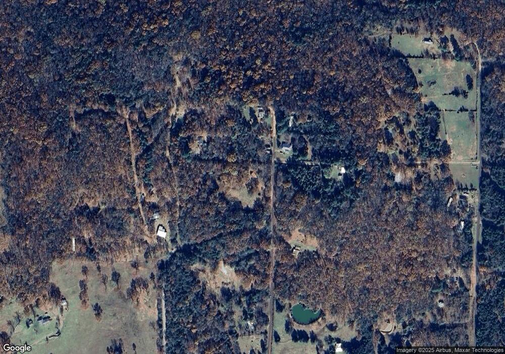
Map
Nearby Homes
- TBD High Rock & Lancaster Rd
- 9919 Old 81 Loop
- 7900 Zachary Trail
- 7911 Zachary Trail
- TBD Zachary Trail
- 7123 Old 88 Rd
- TBD Mountain Rd
- TBD Sweet Bay Ln
- 124 N Railroad Ave
- 5565 Arkansas 282
- 9900 Lancaster Rd
- 4603 Old Rudy Rd
- TBD Lancaster Rd
- Tbd Lancaster Rd Unit LotWP001
- 9833 Glenn View Dr
- 421 Stone Mountain Loop
- TBD Highway 348
- 8761 Highway 282
- 4018 Blue Hole Rd
- 5003 Highway 282
- 8048 Wofford Rd
- 8032 Wofford Rd
- 8844 Winset Place
- 8051 Wofford Rd
- 8101 Wofford Rd
- 8952 Winset Place
- 8238 Wofford Rd
- 5437 Old Bowman Rd
- 5351 Haydens Way
- 8907 Winset Place
- 8947 Wofford Rd
- 8947 Wofford Rd
- 8236 Wofford Rd
- 5337 Haydens Way
- 8917 Wofford Rd
- 8437 Wofford Rd
- 9007 Wofford Rd
- 8521 Wofford Rd
- 8721 Wofford Rd
- 8410 Wofford Rd