8127 N Maple Dr Mooresville, IN 46158
Estimated Value: $171,000 - $269,000
2
Beds
1
Bath
812
Sq Ft
$272/Sq Ft
Est. Value
About This Home
This home is located at 8127 N Maple Dr, Mooresville, IN 46158 and is currently estimated at $220,667, approximately $271 per square foot. 8127 N Maple Dr is a home located in Morgan County with nearby schools including Mooresville High School.
Ownership History
Date
Name
Owned For
Owner Type
Purchase Details
Closed on
May 26, 2021
Sold by
Manley Roman R
Bought by
Manley Enterprise Llc
Current Estimated Value
Home Financials for this Owner
Home Financials are based on the most recent Mortgage that was taken out on this home.
Original Mortgage
$110,925
Outstanding Balance
$87,679
Interest Rate
3%
Mortgage Type
Future Advance Clause Open End Mortgage
Estimated Equity
$78,458
Purchase Details
Closed on
Nov 21, 2019
Sold by
Zimmer Mary
Bought by
Manley Roman R
Home Financials for this Owner
Home Financials are based on the most recent Mortgage that was taken out on this home.
Original Mortgage
$60,000
Interest Rate
3.5%
Mortgage Type
New Conventional
Create a Home Valuation Report for This Property
The Home Valuation Report is an in-depth analysis detailing your home's value as well as a comparison with similar homes in the area
Home Values in the Area
Average Home Value in this Area
Purchase History
| Date | Buyer | Sale Price | Title Company |
|---|---|---|---|
| Manley Enterprise Llc | -- | None Available | |
| Manley Roman R | -- | Chicago Title Company Llc |
Source: Public Records
Mortgage History
| Date | Status | Borrower | Loan Amount |
|---|---|---|---|
| Open | Manley Enterprise Llc | $110,925 | |
| Previous Owner | Manley Roman R | $60,000 |
Source: Public Records
Tax History Compared to Growth
Tax History
| Year | Tax Paid | Tax Assessment Tax Assessment Total Assessment is a certain percentage of the fair market value that is determined by local assessors to be the total taxable value of land and additions on the property. | Land | Improvement |
|---|---|---|---|---|
| 2024 | $1,543 | $149,200 | $54,100 | $95,100 |
| 2023 | $1,468 | $149,300 | $54,100 | $95,200 |
| 2022 | $1,409 | $142,600 | $54,100 | $88,500 |
| 2021 | $862 | $93,400 | $20,300 | $73,100 |
| 2020 | $855 | $90,600 | $20,300 | $70,300 |
| 2019 | $787 | $82,100 | $20,300 | $61,800 |
| 2018 | $698 | $75,900 | $20,300 | $55,600 |
| 2017 | $751 | $80,000 | $20,300 | $59,700 |
| 2016 | $755 | $80,000 | $20,300 | $59,700 |
| 2014 | $638 | $72,800 | $20,300 | $52,500 |
| 2013 | $638 | $74,400 | $20,300 | $54,100 |
Source: Public Records
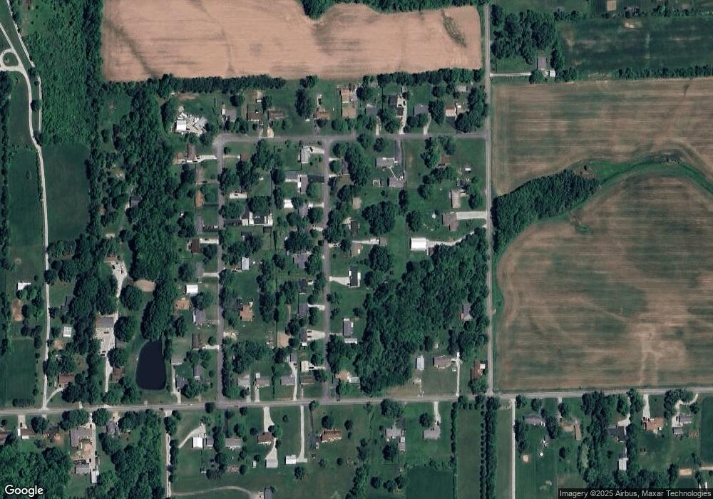
Map
Nearby Homes
- 8165 N Maple Dr
- 5371 Lue Ann Ln
- 8662 N Kitchen Rd
- 0 E Watson Rd
- 6020 E Smokey View Rd
- 0 N Gray Rd Unit MBR22016886
- 4600 E Viola Dr
- Lot 6 Watson Rd
- 0 Whitetail Ridge Lot 3
- Lot 1 Whitetail Ridge
- Lot 2 Whitetail Ridge
- Lot 3 Whitetail Ridge
- Lot 4 Whitetail Ridge
- Lot 5 Whitetail Ridge
- Lot 6 Whitetail Ridge
- 0 N Kitchen Rd Unit MBR22045934
- LOT 5 N Kitchen Rd
- Lot 4 N Kitchen Rd
- Lot 6 N Kitchen Rd
- LOT 1 N Kitchen Rd
- 8127 N Maple Dr
- 8145 N Maple Dr
- 8103 N Maple Dr
- 8118 N Maple Dr
- 8140 N Maple Dr
- 8098 N Maple Dr
- 8160 N Maple Dr
- 8098 N Maple Dr
- 8160 N Maple Dr
- 8061 N Maple Dr
- 8136 N Pennington Rd
- 5159 E Walnut Dr
- 8154 N Pennington Rd
- 8076 N Maple Dr
- 8182 N Maple Dr
- 8137 N Poplar Dr
- 8066 N Pennington Rd
- 5207 E Walnut Dr
- 8198 N Maple Dr
- 8117 N Poplar Dr