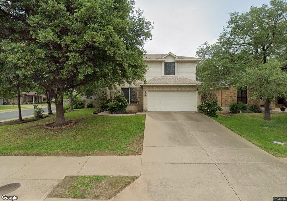
8128 Luling Ln Austin, TX 78729
Milwood NeighborhoodEstimated Value: $487,369 - $572,000
4
Beds
3
Baths
2,200
Sq Ft
$234/Sq Ft
Est. Value
About This Home
This home is located at 8128 Luling Ln, Austin, TX 78729 and is currently estimated at $514,342, approximately $233 per square foot. 8128 Luling Ln is a home located in Williamson County with nearby schools including Live Oak Elementary School, Deerpark Middle School, and McNeil High School.
Ownership History
Date
Name
Owned For
Owner Type
Purchase Details
Closed on
Dec 22, 2016
Sold by
Huang Chich Liang and Chen Yi Jung
Bought by
Huang Leon and Huang Elina
Current Estimated Value
Purchase Details
Closed on
Apr 21, 2007
Sold by
Caprara Alice C
Bought by
Huang Chih Liang
Home Financials for this Owner
Home Financials are based on the most recent Mortgage that was taken out on this home.
Original Mortgage
$119,900
Interest Rate
6.13%
Mortgage Type
Purchase Money Mortgage
Create a Home Valuation Report for This Property
The Home Valuation Report is an in-depth analysis detailing your home's value as well as a comparison with similar homes in the area
Home Values in the Area
Average Home Value in this Area
Purchase History
| Date | Buyer | Sale Price | Title Company |
|---|---|---|---|
| Huang Leon | -- | Attorney | |
| Huang Chih Liang | -- | Austin Title Company |
Source: Public Records
Mortgage History
| Date | Status | Borrower | Loan Amount |
|---|---|---|---|
| Closed | Huang Chih Liang | $119,900 |
Source: Public Records
Tax History Compared to Growth
Tax History
| Year | Tax Paid | Tax Assessment Tax Assessment Total Assessment is a certain percentage of the fair market value that is determined by local assessors to be the total taxable value of land and additions on the property. | Land | Improvement |
|---|---|---|---|---|
| 2025 | $6,851 | $483,065 | $105,000 | $378,065 |
| 2024 | $6,851 | $454,105 | $105,000 | $349,105 |
| 2023 | $7,035 | $462,845 | $105,000 | $357,845 |
| 2022 | $8,470 | $448,152 | $0 | $0 |
| 2021 | $8,912 | $407,411 | $85,000 | $322,411 |
| 2020 | $7,306 | $331,875 | $77,063 | $254,812 |
| 2019 | $7,362 | $324,106 | $66,768 | $257,338 |
| 2018 | $7,235 | $318,512 | $66,768 | $251,744 |
| 2017 | $7,227 | $312,632 | $62,400 | $250,232 |
| 2016 | $6,602 | $285,582 | $62,400 | $227,951 |
| 2015 | $5,406 | $259,620 | $50,300 | $221,765 |
| 2014 | $5,406 | $236,018 | $0 | $0 |
Source: Public Records
Map
Nearby Homes
- 13371 Amasia Dr
- 13367 Amasia Dr
- 8021 Rimini Trail
- 13321 Humphrey Dr
- 8336 Alvin High Ln
- 8004 Osborne Dr
- 8430 Alvin High Ln
- 13436 Moscow Trail
- 13438 Moscow Trail
- 7808 Portland Trail
- 7712 Earp Way
- 8537 Inca Dove Dr
- 13341 Water Oak Ln
- 13102 Hunters Chase Dr
- 7809 Taranto Dr
- 7608 Montage Dr
- 13022 Hunters Chase Dr
- 8601 Rock Pigeon Dr
- 7505 Montage Dr
- 13700 Sage Grouse Dr Unit 1101