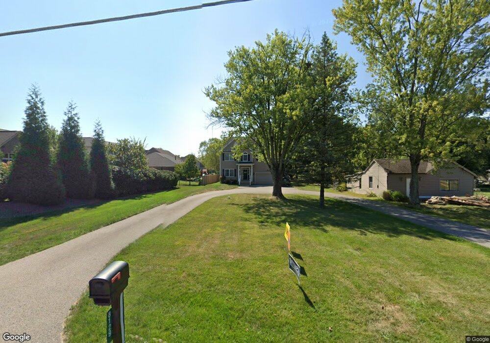
8129 Forest Rd Cincinnati, OH 45255
Estimated Value: $591,000 - $672,000
4
Beds
3
Baths
3,317
Sq Ft
$189/Sq Ft
Est. Value
About This Home
This home is located at 8129 Forest Rd, Cincinnati, OH 45255 and is currently estimated at $626,000, approximately $188 per square foot. 8129 Forest Rd is a home located in Hamilton County with nearby schools including Ayer Elementary School, Nagel Middle School, and Anderson High School.
Ownership History
Date
Name
Owned For
Owner Type
Purchase Details
Closed on
Feb 11, 1998
Sold by
Burton Nora Kay
Bought by
Diana Joseph A and Diana Lisa
Current Estimated Value
Home Financials for this Owner
Home Financials are based on the most recent Mortgage that was taken out on this home.
Original Mortgage
$119,000
Outstanding Balance
$18,351
Interest Rate
6.99%
Estimated Equity
$607,649
Create a Home Valuation Report for This Property
The Home Valuation Report is an in-depth analysis detailing your home's value as well as a comparison with similar homes in the area
Home Values in the Area
Average Home Value in this Area
Purchase History
| Date | Buyer | Sale Price | Title Company |
|---|---|---|---|
| Diana Joseph A | $125,000 | Elite Title Agency Inc |
Source: Public Records
Mortgage History
| Date | Status | Borrower | Loan Amount |
|---|---|---|---|
| Open | Diana Joseph A | $119,000 |
Source: Public Records
Tax History
| Year | Tax Paid | Tax Assessment Tax Assessment Total Assessment is a certain percentage of the fair market value that is determined by local assessors to be the total taxable value of land and additions on the property. | Land | Improvement |
|---|---|---|---|---|
| 2025 | $9,340 | $149,332 | $13,647 | $135,685 |
| 2024 | $9,076 | $149,332 | $13,647 | $135,685 |
| 2023 | $8,634 | $149,332 | $13,647 | $135,685 |
| 2022 | $7,291 | $112,259 | $11,039 | $101,220 |
| 2021 | $7,118 | $112,259 | $11,039 | $101,220 |
| 2020 | $7,200 | $112,259 | $11,039 | $101,220 |
| 2019 | $7,019 | $99,345 | $9,769 | $89,576 |
| 2018 | $6,575 | $99,345 | $9,769 | $89,576 |
| 2017 | $6,201 | $99,345 | $9,769 | $89,576 |
| 2016 | $6,169 | $96,559 | $10,021 | $86,538 |
| 2015 | $5,992 | $96,559 | $10,021 | $86,538 |
| 2014 | $5,996 | $96,559 | $10,021 | $86,538 |
| 2013 | $5,559 | $94,665 | $9,825 | $84,840 |
Source: Public Records
Map
Nearby Homes
- 7988 Woodruff Rd
- 8016 Hignite Ct
- 8303 Tidewater Ct
- 684 Balbriggan Ct
- 881 Asbury Rd
- 7754 Forest Rd
- 849 Shawnee Trace Ct
- 7978 Nagel Village Dr
- 8512 Prilla Ln
- 792 Farmsworth Ct
- 8345 Cherry Ln
- 1357 Oak Ct
- 1363 Oak Ct
- 1400 Sigma Cir
- 559 Asbury Rd
- 807 Nordyke Rd
- 8022 Stonegate Dr
- 488 Madeira Ct
- 906 Woodlyn Dr N Unit 4
- 854 Woodlyn Dr S
- 881 Forest Acres Dr
- 8123 Forest Rd
- 865 Forest Acres Dr
- 8169 Forest Rd
- 897 Forest Acres Dr
- 8159 Forest Rd
- 849 Forest Acres Dr
- 8115 Forest Rd
- 6 Forest Trail
- 8107 Forest Rd
- 833 Forest Acres Dr
- 11 Forest Acres Dr Unit 11
- 910 Merritt Grove Ln
- 872 Forest Acres Dr
- 896 Forest Acres Dr
- 817 Forest Acres Dr
- 8146 Forest Rd
- 909 Merritt Grove Ln
- 8101 Forest Rd
- 854 Forest Acres Dr