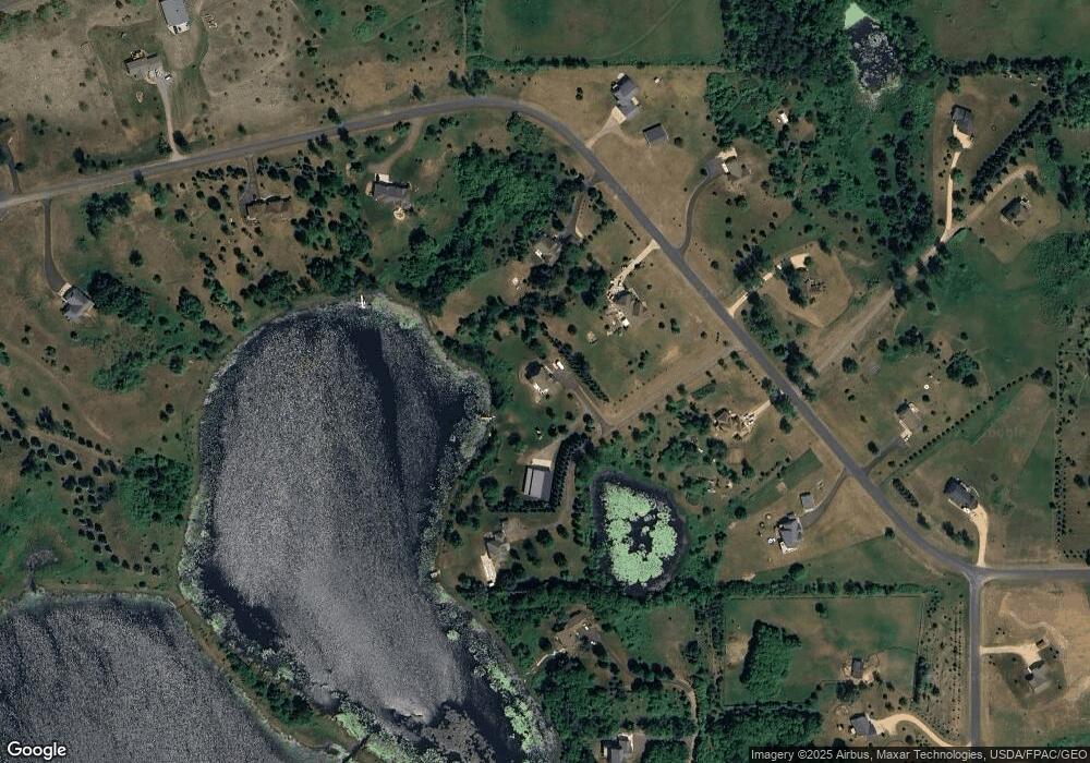
813 165th Ave New Richmond, WI 54017
Estimated Value: $659,000 - $924,000
3
Beds
4
Baths
--
Sq Ft
3.08
Acres
About This Home
This home is located at 813 165th Ave, New Richmond, WI 54017 and is currently estimated at $786,238. 813 165th Ave is a home located in St. Croix County with nearby schools including Somerset Elementary School, Somerset Middle School, and Somerset High School.
Ownership History
Date
Name
Owned For
Owner Type
Purchase Details
Closed on
Feb 12, 2015
Sold by
Andrews Jay and Andrews Christina M
Bought by
Andrews Jr Jay F and Andrews Cristina M
Current Estimated Value
Home Financials for this Owner
Home Financials are based on the most recent Mortgage that was taken out on this home.
Original Mortgage
$260,000
Outstanding Balance
$92,092
Interest Rate
3.72%
Mortgage Type
New Conventional
Estimated Equity
$694,146
Purchase Details
Closed on
Oct 28, 2011
Sold by
Jenkin Brett C and Jenkin Rhonda L
Bought by
Andrews Jay and Mealhouse Christina
Home Financials for this Owner
Home Financials are based on the most recent Mortgage that was taken out on this home.
Original Mortgage
$247,000
Interest Rate
4.02%
Mortgage Type
New Conventional
Create a Home Valuation Report for This Property
The Home Valuation Report is an in-depth analysis detailing your home's value as well as a comparison with similar homes in the area
Home Values in the Area
Average Home Value in this Area
Purchase History
| Date | Buyer | Sale Price | Title Company |
|---|---|---|---|
| Andrews Jr Jay F | -- | None Available | |
| Andrews Jay | $260,000 | Cities Title Services Llc |
Source: Public Records
Mortgage History
| Date | Status | Borrower | Loan Amount |
|---|---|---|---|
| Open | Andrews Jr Jay F | $260,000 | |
| Closed | Andrews Jay | $247,000 |
Source: Public Records
Tax History Compared to Growth
Tax History
| Year | Tax Paid | Tax Assessment Tax Assessment Total Assessment is a certain percentage of the fair market value that is determined by local assessors to be the total taxable value of land and additions on the property. | Land | Improvement |
|---|---|---|---|---|
| 2024 | $80 | $779,100 | $150,500 | $628,600 |
| 2023 | $8,420 | $779,100 | $150,500 | $628,600 |
| 2022 | $7,414 | $779,100 | $150,500 | $628,600 |
| 2021 | $7,350 | $484,800 | $75,400 | $409,400 |
| 2020 | $7,421 | $484,800 | $75,400 | $409,400 |
| 2019 | $6,812 | $484,800 | $75,400 | $409,400 |
| 2018 | $5,961 | $484,800 | $75,400 | $409,400 |
| 2017 | $6,460 | $435,600 | $75,400 | $360,200 |
| 2016 | $6,460 | $375,700 | $50,300 | $325,400 |
| 2015 | $6,182 | $375,700 | $50,300 | $325,400 |
| 2014 | $5,890 | $375,700 | $50,300 | $325,400 |
| 2013 | $5,915 | $375,700 | $50,300 | $325,400 |
Source: Public Records
Map
Nearby Homes
- 1653 85th St
- 1655 85th St
- 875 167th Ave
- 726 160th Ave
- Lot #9 xxx 165th Ct
- 883 174th Ave
- 528 Jackson Cir
- 1820 County Road C
- 893 183rd Ct
- 885 183rd Ct
- 231 Plum Tree Ln
- 872 183rd Ct
- 309 Walnut Ln
- 314 Cedar St
- 415 Bruce Larson Way
- 310 Aspen Dr
- 873 Sutherland St
- 869 Sutherland St
- 318 Aspen Dr
- 861 Sutherland St