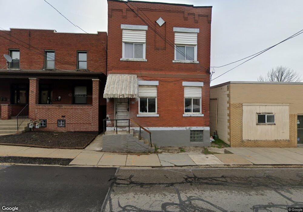
813 7th St Mc Kees Rocks, PA 15136
Stowe Township NeighborhoodEstimated Value: $96,000 - $124,000
4
Beds
2
Baths
2,184
Sq Ft
$52/Sq Ft
Est. Value
About This Home
This home is located at 813 7th St, Mc Kees Rocks, PA 15136 and is currently estimated at $112,804, approximately $51 per square foot. 813 7th St is a home located in Allegheny County with nearby schools including Sto-Rox Primary Center, Sto-Rox Upper Elementary School, and Sto-Rox Junior/Senior High School.
Ownership History
Date
Name
Owned For
Owner Type
Purchase Details
Closed on
Feb 6, 2007
Sold by
Cetrone Richard C
Bought by
Molnar Tamara
Current Estimated Value
Home Financials for this Owner
Home Financials are based on the most recent Mortgage that was taken out on this home.
Original Mortgage
$52,800
Outstanding Balance
$31,730
Interest Rate
6.22%
Mortgage Type
New Conventional
Estimated Equity
$81,074
Purchase Details
Closed on
Mar 31, 1998
Sold by
Cetrone Amelia M and Veseleny John D
Bought by
Veseleny John D and Veseleny Amelia M
Purchase Details
Closed on
Jan 1, 1900
Create a Home Valuation Report for This Property
The Home Valuation Report is an in-depth analysis detailing your home's value as well as a comparison with similar homes in the area
Home Values in the Area
Average Home Value in this Area
Purchase History
| Date | Buyer | Sale Price | Title Company |
|---|---|---|---|
| Molnar Tamara | $30,000 | -- | |
| Veseleny John D | -- | -- | |
| -- | -- | -- |
Source: Public Records
Mortgage History
| Date | Status | Borrower | Loan Amount |
|---|---|---|---|
| Open | Molnar Tamara | $52,800 |
Source: Public Records
Tax History Compared to Growth
Tax History
| Year | Tax Paid | Tax Assessment Tax Assessment Total Assessment is a certain percentage of the fair market value that is determined by local assessors to be the total taxable value of land and additions on the property. | Land | Improvement |
|---|---|---|---|---|
| 2025 | $2,372 | $54,900 | $7,900 | $47,000 |
| 2024 | $2,372 | $54,900 | $7,900 | $47,000 |
| 2023 | $2,280 | $54,900 | $7,900 | $47,000 |
| 2022 | $2,208 | $54,900 | $7,900 | $47,000 |
| 2021 | $260 | $54,900 | $7,900 | $47,000 |
| 2020 | $2,158 | $54,900 | $7,900 | $47,000 |
| 2019 | $2,158 | $54,900 | $7,900 | $47,000 |
| 2018 | $2,158 | $54,900 | $7,900 | $47,000 |
| 2017 | $2,108 | $54,900 | $7,900 | $47,000 |
| 2016 | $260 | $54,900 | $7,900 | $47,000 |
| 2015 | $260 | $54,900 | $7,900 | $47,000 |
| 2014 | $2,108 | $54,900 | $7,900 | $47,000 |
Source: Public Records
Map
Nearby Homes
- 125 Frazier Ave
- 705 Broadway Ave
- 634 Broadway Ave
- 620 Broadway Ave
- 810 Woodward Ave
- 813 8th St
- 705 Russellwood Ave
- 713 Russellwood Ave
- 82 Harlem Ave
- 815 Broadway Ave
- 533 Woodward Ave
- 837 Benwood Ave
- 45 Harlem Ave
- 815 10th St
- 813 10th St
- 908 Russellwood Ave
- 810 10th St
- 802 10th St
- 1144 1/2 Race St
- 22 Harlem Ave