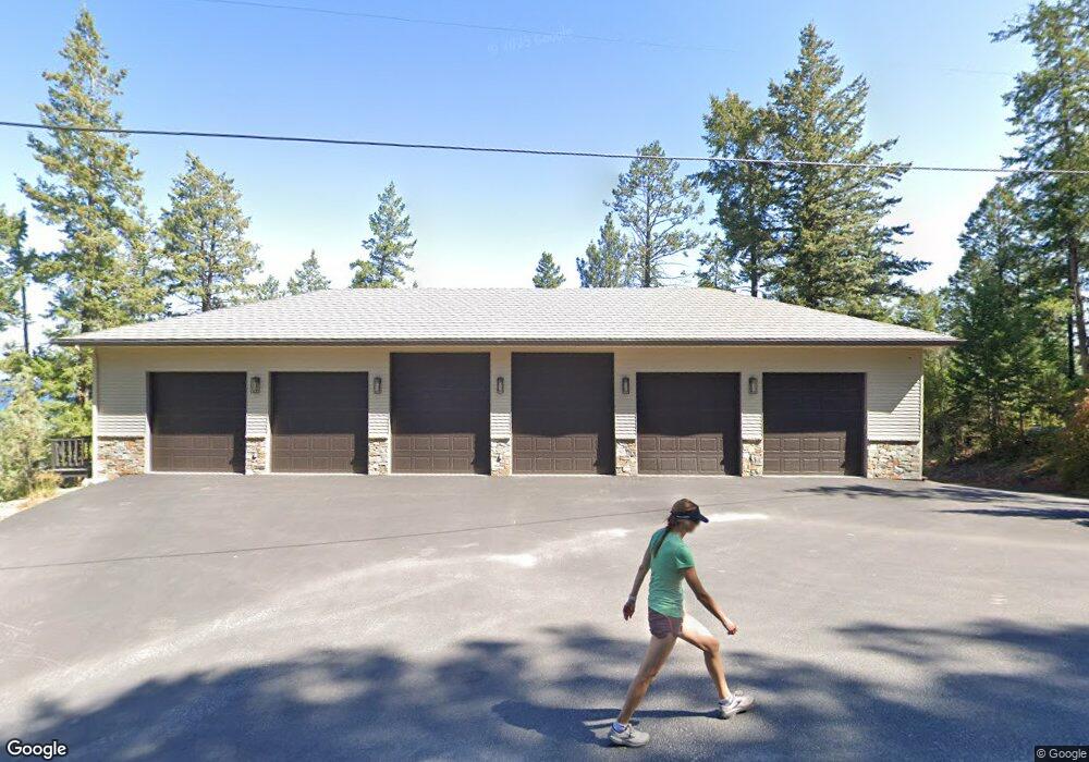
813 Angel Point Rd Lakeside, MT 59922
Estimated Value: $3,238,000 - $3,762,000
3
Beds
4
Baths
3,223
Sq Ft
$1,086/Sq Ft
Est. Value
About This Home
This home is located at 813 Angel Point Rd, Lakeside, MT 59922 and is currently estimated at $3,500,000, approximately $1,085 per square foot. 813 Angel Point Rd is a home located in Flathead County with nearby schools including Lakeside Elementary School, Somers Middle School, and Flathead High School.
Ownership History
Date
Name
Owned For
Owner Type
Purchase Details
Closed on
Dec 18, 2012
Sold by
Gilbertson Paul A
Bought by
Gilbertson Paul A and The Paul A Gilbertston Revocable Trust
Current Estimated Value
Purchase Details
Closed on
Jul 24, 2012
Sold by
Bank Of America National Association
Bought by
Us Bank National Association
Purchase Details
Closed on
Mar 22, 2011
Sold by
Vance Larry F and Vance Tami J
Bought by
Lasalle Bank National Association
Purchase Details
Closed on
Jul 5, 2006
Sold by
Vance Larry F
Bought by
Vance Larry F and Vance Tami J
Purchase Details
Closed on
Mar 7, 2006
Sold by
Vance Larry F
Bought by
Questa Resources Inc
Create a Home Valuation Report for This Property
The Home Valuation Report is an in-depth analysis detailing your home's value as well as a comparison with similar homes in the area
Home Values in the Area
Average Home Value in this Area
Purchase History
| Date | Buyer | Sale Price | Title Company |
|---|---|---|---|
| Gilbertson Paul A | -- | None Available | |
| Us Bank National Association | -- | First American Title Company | |
| Lasalle Bank National Association | $1,790,000 | None Available | |
| Vance Larry F | -- | Citizens Title And Escrow Co | |
| Questa Resources Inc | -- | None Available |
Source: Public Records
Tax History
| Year | Tax Paid | Tax Assessment Tax Assessment Total Assessment is a certain percentage of the fair market value that is determined by local assessors to be the total taxable value of land and additions on the property. | Land | Improvement |
|---|---|---|---|---|
| 2025 | $17,893 | $2,842,650 | $0 | $0 |
| 2024 | $11,733 | $2,148,900 | $0 | $0 |
| 2023 | $11,686 | $2,148,900 | $0 | $0 |
| 2022 | $11,526 | $1,588,300 | $0 | $0 |
| 2021 | $12,495 | $1,588,300 | $0 | $0 |
| 2020 | $12,041 | $1,502,210 | $0 | $0 |
| 2019 | $11,580 | $1,502,210 | $0 | $0 |
| 2018 | $12,158 | $1,506,750 | $0 | $0 |
| 2017 | $10,620 | $1,506,750 | $0 | $0 |
| 2016 | $9,295 | $1,296,200 | $0 | $0 |
| 2015 | $9,633 | $1,296,200 | $0 | $0 |
| 2014 | $13,386 | $1,138,249 | $0 | $0 |
Source: Public Records
Map
Nearby Homes
- 953 Angel Point Rd
- 207 Angel Point Preserve
- 268 Tamarack Terrace Rd
- 272 Tamarack Terrace Rd
- 66 Angel Point Rd
- 100 Deep Bay
- 27 Bayview Dr
- 100 & 104 Deep Bay Dr
- 458 Political Hill Rd
- 480 Political Hill Rd
- 100 Political Hill Rd
- 360 Ridge Line Dr
- 209 Ridge Line Dr
- 351 Ridge Line Dr
- 103 Tamarack Woods Dr
- 240 Blacktail Rd
- 143 Parkview Ln
- 149 Monet Rd
- 150 Adams St Unit 4
- 207 Stoner Loop Unit A
- 805 Angel Point Rd
- 829 Angel Point Rd
- 135 Greenwood Hills Ln
- 105 Greenwood Hills Ln
- 789 Angel Point Rd
- 125 Greenwood Hills Ln
- 781 Angel Point Rd
- 837 Angel Point Rd
- 28 Hockaday Ln
- 773 Angel Point Rd
- 115 Greenwood Hills Ln
- 853 Angel Point Rd
- 771 Angel Point Rd
- 765 Angel Point Rd
- 861 Angel Point Rd
- 861 Angel Point Rd
- 861 & 869 Angel Point Rd
- 757 Angel Point Rd
Your Personal Tour Guide
Ask me questions while you tour the home.