813 Atlantic Commons Dr Surfside Beach, SC 29575
Estimated Value: $460,338 - $543,000
4
Beds
3
Baths
2,504
Sq Ft
$201/Sq Ft
Est. Value
About This Home
This home is located at 813 Atlantic Commons Dr, Surfside Beach, SC 29575 and is currently estimated at $502,585, approximately $200 per square foot. 813 Atlantic Commons Dr is a home located in Horry County with nearby schools including Lakewood Elementary, Socastee Middle, and Socastee High School.
Ownership History
Date
Name
Owned For
Owner Type
Purchase Details
Closed on
Nov 5, 2024
Sold by
Brown Mark I
Bought by
Brown Living Revocable Trust and Brown Mark I Tr
Current Estimated Value
Purchase Details
Closed on
Aug 8, 2023
Sold by
Brown Mark I
Bought by
Brown Mark I and Brown Cory
Purchase Details
Closed on
Oct 15, 2018
Sold by
D R Horton Inc
Bought by
Brown Mark
Home Financials for this Owner
Home Financials are based on the most recent Mortgage that was taken out on this home.
Original Mortgage
$232,032
Interest Rate
4.6%
Mortgage Type
New Conventional
Create a Home Valuation Report for This Property
The Home Valuation Report is an in-depth analysis detailing your home's value as well as a comparison with similar homes in the area
Home Values in the Area
Average Home Value in this Area
Purchase History
| Date | Buyer | Sale Price | Title Company |
|---|---|---|---|
| Brown Living Revocable Trust | -- | -- | |
| Brown Mark I | -- | -- | |
| Brown Mark | $290,040 | -- |
Source: Public Records
Mortgage History
| Date | Status | Borrower | Loan Amount |
|---|---|---|---|
| Previous Owner | Brown Mark | $232,032 |
Source: Public Records
Tax History Compared to Growth
Tax History
| Year | Tax Paid | Tax Assessment Tax Assessment Total Assessment is a certain percentage of the fair market value that is determined by local assessors to be the total taxable value of land and additions on the property. | Land | Improvement |
|---|---|---|---|---|
| 2024 | $1,699 | $26,263 | $8,654 | $17,609 |
| 2023 | $4,355 | $19,730 | $3,170 | $16,560 |
| 2021 | $1,333 | $19,730 | $3,170 | $16,560 |
| 2020 | $4,091 | $19,730 | $3,170 | $16,560 |
| 2019 | $4,056 | $19,730 | $3,170 | $16,560 |
| 2018 | $0 | $0 | $0 | $0 |
Source: Public Records
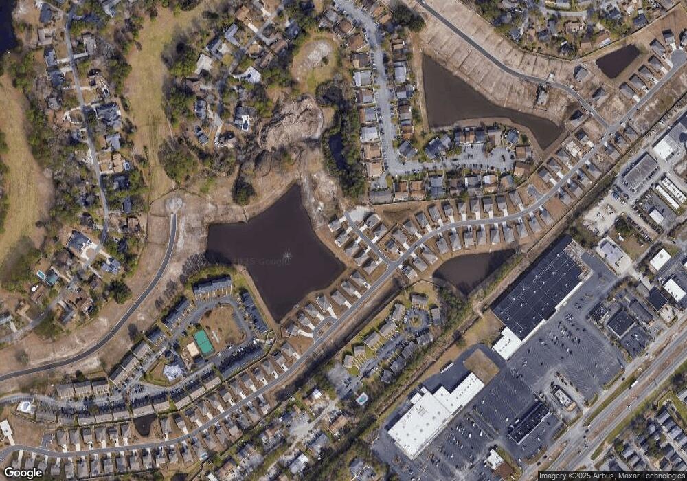
Map
Nearby Homes
- 1411 Turkey Ridge Rd Unit 30-B
- 205 Ocean Commons Dr
- 1361 Turkey Ridge Rd Unit C
- 191 Ocean Commons Dr
- 646 Pacific Commons Dr
- 1608 Fawn Vista Dr N Unit 5B1
- 1451 Crooked Pine Dr
- 284 Ocean Commons Dr
- 1300 Deer Creek Rd Unit B
- 454 Pacific Commons Dr
- 669 Pacific Commons Dr
- 1864 S Kings Hwy
- 1833 S Kings Hwy Unit 1833 Starfish Rd.
- 1795 S Kings Hwy Unit 1795 Snapper Lane
- 1799 S Kings Hwy Unit 1799 Snapper Ln
- 1805 S Kings Hwy Unit 1805 Lovestone Dr.
- 1807 S Kings Hwy Unit 1807 Lovestone Dr.
- 1820 S Kings Hwy Unit 1820a Starfish Rd
- 1801 Crooked Pine Dr Unit H3
- 1886 S Kings Hwy
- 813 Atlantic Commons Dr Unit Lot 49 Belfort C
- 809 Atlantic Commons Dr
- 809 Atlantic Commons Dr Unit Lot 48 ACADIA D
- 815 Atlantic Commons Dr
- 815 Atlantic Commons Dr Unit Lot 50 Belfort C
- 827 Atlantic Commons Dr Unit MOC 45
- 827 Atlantic Commons Dr
- 805 Atlantic Commons Dr
- 805 Atlantic Commons Dr Unit Lot 47 Claiborne C
- 812 Atlantic Commons Dr Unit Lot 51 MACKENZIE 2 E
- 808 Atlantic Commons Dr
- 808 Atlantic Commons Dr Unit Lot 52 Willow Oak C
- 804 Atlantic Commons Dr
- 804 Atlantic Commons Dr Unit Lot 53 Acadia D
- 801 Atlantic Commons Dr Unit Lot 46 Acadia C
- 227 Ocean Commons Dr
- 227 Ocean Commons Dr Unit Lot 45 Claiborne C
- 800 Ocean Commons Dr
- 239 Ocean Commons Dr
- 239 Ocean Commons Dr Unit Lot 54 Belfort C