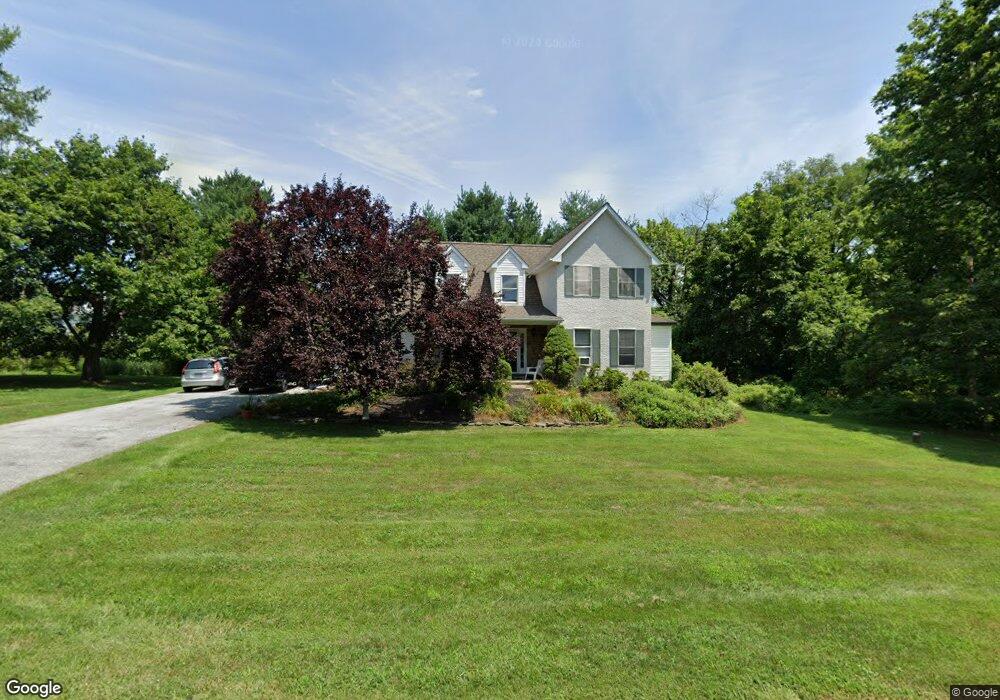
813 Ceredo Ave West Chester, PA 19382
Estimated Value: $300,000 - $788,000
3
Beds
3
Baths
2,508
Sq Ft
$254/Sq Ft
Est. Value
About This Home
This home is located at 813 Ceredo Ave, West Chester, PA 19382 and is currently estimated at $637,035, approximately $254 per square foot. 813 Ceredo Ave is a home located in Chester County with nearby schools including Sarah W Starkweather Elementary School, Stetson Middle School, and Bayard Rustin High School.
Ownership History
Date
Name
Owned For
Owner Type
Purchase Details
Closed on
Apr 16, 1999
Sold by
Deaver Ruth L and Busby David
Bought by
Langford Gregory E and Langford Jeanne M
Current Estimated Value
Home Financials for this Owner
Home Financials are based on the most recent Mortgage that was taken out on this home.
Original Mortgage
$180,000
Outstanding Balance
$45,503
Interest Rate
7.02%
Mortgage Type
Construction
Estimated Equity
$591,532
Create a Home Valuation Report for This Property
The Home Valuation Report is an in-depth analysis detailing your home's value as well as a comparison with similar homes in the area
Home Values in the Area
Average Home Value in this Area
Purchase History
| Date | Buyer | Sale Price | Title Company |
|---|---|---|---|
| Langford Gregory E | $69,000 | Manito Title Insurance Compa |
Source: Public Records
Mortgage History
| Date | Status | Borrower | Loan Amount |
|---|---|---|---|
| Open | Langford Gregory E | $180,000 |
Source: Public Records
Tax History Compared to Growth
Tax History
| Year | Tax Paid | Tax Assessment Tax Assessment Total Assessment is a certain percentage of the fair market value that is determined by local assessors to be the total taxable value of land and additions on the property. | Land | Improvement |
|---|---|---|---|---|
| 2025 | $5,377 | $185,480 | $40,530 | $144,950 |
| 2024 | $5,377 | $185,480 | $40,530 | $144,950 |
| 2023 | $5,377 | $185,480 | $40,530 | $144,950 |
| 2022 | $5,307 | $185,480 | $40,530 | $144,950 |
| 2021 | $5,233 | $185,480 | $40,530 | $144,950 |
| 2020 | $5,199 | $185,480 | $40,530 | $144,950 |
| 2019 | $5,127 | $185,480 | $40,530 | $144,950 |
| 2018 | $5,018 | $185,480 | $40,530 | $144,950 |
| 2017 | $4,909 | $185,480 | $40,530 | $144,950 |
| 2016 | $4,141 | $185,480 | $40,530 | $144,950 |
| 2015 | $4,141 | $185,480 | $40,530 | $144,950 |
| 2014 | $4,141 | $185,480 | $40,530 | $144,950 |
Source: Public Records
Map
Nearby Homes
- 738 S Matlack St
- 749 S Matlack St
- 850 S Matlack St
- 615 S Walnut St
- 615-617 S Walnut St
- 714 S Wayne St
- 5 Yorktown Ave
- 305 S Matlack St
- 335 S Adams St
- 231 S Adams St
- 222 W Barnard St
- 113 Peabody Way
- 22 W Miner St
- 110 S Matlack St
- 342 E Barnard St
- 344 E Barnard St
- 113 E Miner St
- 724 W Nields St
- 238 E Gay St Unit 2
- 331 W Gay St
- 14 Norfolk Ave
- 814 S High St
- 814 Ceredo Ave
- 812 Ceredo Ave
- 6 Jefferies Ave
- 810 S High St
- 810 Ceredo Ave
- 818 S High St
- 28 Norfolk Ave
- 803 Ceredo Ave
- 806 S High St
- 825 Church Ave
- 815 Church Ave
- 29 Norfolk Ave
- 32 Jefferies Ave
- 813 Church Ave
- 804 S High St
- 811 Church Ave
- 801 Ceredo Ave
- 811 S Church Ave Unit B