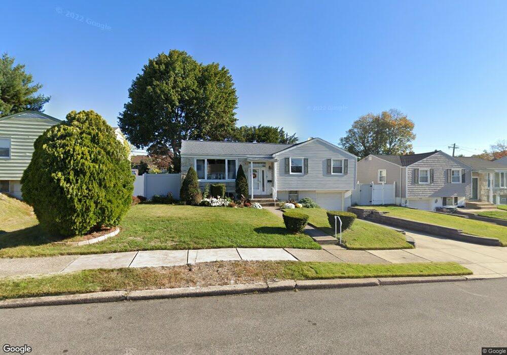
813 Densmore Rd Philadelphia, PA 19116
Somerton NeighborhoodEstimated Value: $353,343 - $432,000
--
Bed
--
Bath
1,132
Sq Ft
$351/Sq Ft
Est. Value
About This Home
This home is located at 813 Densmore Rd, Philadelphia, PA 19116 and is currently estimated at $397,336, approximately $351 per square foot. 813 Densmore Rd is a home located in Philadelphia County with nearby schools including Watson Comly School, CCA Baldi Middle School, and George Washington High School.
Ownership History
Date
Name
Owned For
Owner Type
Purchase Details
Closed on
Nov 23, 1999
Sold by
Deane Michael P and Will Of William P Deane
Bought by
Mcguckin Robert W and Mcguckin Karen E
Current Estimated Value
Home Financials for this Owner
Home Financials are based on the most recent Mortgage that was taken out on this home.
Original Mortgage
$110,400
Outstanding Balance
$33,859
Interest Rate
7.81%
Estimated Equity
$363,477
Create a Home Valuation Report for This Property
The Home Valuation Report is an in-depth analysis detailing your home's value as well as a comparison with similar homes in the area
Home Values in the Area
Average Home Value in this Area
Purchase History
| Date | Buyer | Sale Price | Title Company |
|---|---|---|---|
| Mcguckin Robert W | $129,900 | Security Search & Abstract C |
Source: Public Records
Mortgage History
| Date | Status | Borrower | Loan Amount |
|---|---|---|---|
| Open | Mcguckin Robert W | $110,400 |
Source: Public Records
Tax History Compared to Growth
Tax History
| Year | Tax Paid | Tax Assessment Tax Assessment Total Assessment is a certain percentage of the fair market value that is determined by local assessors to be the total taxable value of land and additions on the property. | Land | Improvement |
|---|---|---|---|---|
| 2025 | $4,468 | $398,000 | $79,600 | $318,400 |
| 2024 | $4,468 | $398,000 | $79,600 | $318,400 |
| 2023 | $4,468 | $319,200 | $63,840 | $255,360 |
| 2022 | $2,781 | $274,200 | $63,840 | $210,360 |
| 2021 | $3,411 | $0 | $0 | $0 |
| 2020 | $3,411 | $0 | $0 | $0 |
| 2019 | $3,267 | $0 | $0 | $0 |
| 2018 | $2,940 | $0 | $0 | $0 |
| 2017 | $2,940 | $0 | $0 | $0 |
| 2016 | $2,520 | $0 | $0 | $0 |
| 2015 | $2,412 | $0 | $0 | $0 |
| 2014 | -- | $210,000 | $113,190 | $96,810 |
| 2012 | -- | $29,440 | $9,057 | $20,383 |
Source: Public Records
Map
Nearby Homes
- 808 Densmore Rd
- 1104 Welton St
- 818 Burgess St
- 12021 Bustleton Ave Unit 12
- 825 Delray St
- 526 Larkspur St
- 813 Piermont St
- 11008 Proctor Rd
- 509 Larkspur St
- 11243 Jeanes Place
- 13027 Stevens Rd
- 11022 Ferndale St
- 13049 Lindsay St
- 13053 Dorothy Dr
- 11003 Stevens Rd
- 13027 Worthington Rd
- 13250 Trevose Rd
- 508 Laura Ln
- 300 Byberry Rd Unit 303
- 831 Lawler St
- 815 Densmore Rd
- 811 Densmore Rd
- 11600 Barlow Terrace
- 11602 Barlow Terrace
- 817 Densmore Rd
- 809 Densmore Rd
- 11604 Barlow Terrace
- 11606 Barlow Terrace
- 806 Densmore Rd
- 824 Barlow St
- 819 Densmore Rd
- 810 Densmore Rd
- 807 Densmore Rd
- 822 Barlow St
- 826 Barlow St
- 804 Densmore Rd
- 828 Barlow St
- 820 Barlow St
- 812 Densmore Rd
- 830 Barlow St