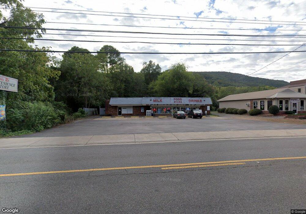
813 N Tibbs Rd Dalton, GA 30720
Estimated Value: $555,558
--
Bed
--
Bath
900
Sq Ft
$617/Sq Ft
Est. Value
About This Home
This home is located at 813 N Tibbs Rd, Dalton, GA 30720 and is currently estimated at $555,558, approximately $617 per square foot. 813 N Tibbs Rd is a home located in Whitfield County with nearby schools including City Park Elementary School, Dalton Middle School, and Dalton High School.
Ownership History
Date
Name
Owned For
Owner Type
Purchase Details
Closed on
Nov 9, 2018
Sold by
Harper G Thomas
Bought by
Shri Maha Lakshmi Llc
Current Estimated Value
Home Financials for this Owner
Home Financials are based on the most recent Mortgage that was taken out on this home.
Original Mortgage
$220,000
Outstanding Balance
$163,416
Interest Rate
4.9%
Mortgage Type
Commercial
Estimated Equity
$392,142
Purchase Details
Closed on
Dec 23, 2002
Sold by
Harper Josephine E
Bought by
Josephine E Harper Living Trust (The)
Create a Home Valuation Report for This Property
The Home Valuation Report is an in-depth analysis detailing your home's value as well as a comparison with similar homes in the area
Home Values in the Area
Average Home Value in this Area
Purchase History
| Date | Buyer | Sale Price | Title Company |
|---|---|---|---|
| Shri Maha Lakshmi Llc | $275,000 | -- | |
| Josephine E Harper Living Trust (The) | -- | -- |
Source: Public Records
Mortgage History
| Date | Status | Borrower | Loan Amount |
|---|---|---|---|
| Open | Shri Maha Lakshmi Llc | $220,000 |
Source: Public Records
Tax History Compared to Growth
Tax History
| Year | Tax Paid | Tax Assessment Tax Assessment Total Assessment is a certain percentage of the fair market value that is determined by local assessors to be the total taxable value of land and additions on the property. | Land | Improvement |
|---|---|---|---|---|
| 2024 | $4,305 | $134,560 | $32,800 | $101,760 |
| 2023 | $2,222 | $64,513 | $10,676 | $53,837 |
| 2022 | $2,222 | $64,513 | $10,676 | $53,837 |
| 2021 | $2,225 | $64,513 | $10,676 | $53,837 |
| 2020 | $2,311 | $64,513 | $10,676 | $53,837 |
| 2019 | $2,383 | $64,513 | $10,676 | $53,837 |
| 2018 | $2,318 | $61,822 | $10,676 | $51,146 |
| 2017 | $2,231 | $61,822 | $10,676 | $51,146 |
| 2016 | $2,246 | $61,822 | $10,676 | $51,146 |
| 2014 | $2,040 | $61,822 | $10,676 | $51,146 |
| 2013 | -- | $61,822 | $10,676 | $51,145 |
Source: Public Records
Map
Nearby Homes
- 2203 Mathis Ln
- 2207 Mathis Ln
- 2219 Rocky Face Cir
- 2218 Mount Haven Dr
- 115 Cliffs Dr NE
- 00 Shugart Rd
- 2115 Kings Rd
- 1202 Covie Dr
- 1230 Covie Dr
- 313 N Tibbs Rd
- 1500 Thornebrooke Cir
- 1315 Walston St
- 1411 Belton Ave
- 1505 Anthony Ave
- 1403 Mack St
- 1833 Woodvalley Dr
- 1600 Beverly Dr
- 0 Battleline Dr Unit 1522298
- 0 Battleline Dr Unit 120625
- 116 Battleline Dr
- 805 N Tibbs Rd Unit 73,74,75
- 805 N Tibbs Rd Unit 73-75
- 831 N Tibbs Rd
- 807 N Tibbs Rd
- 807 N Tibbs Rd
- 2203 Rocky Face Cir
- 2125 Arbordale Place
- 810 N Tibbs Rd
- 2209 Rocky Face Cir
- 140 Hungry Valley Way
- 2205 Rocky Face Cir
- 801 N Tibbs Rd
- 179 Hungry Valley Way
- 2207 Rocky Face Cir
- 2200 Rocky Face Cir
- 804 N Tibbs Rd
- 2213 Rocky Face Cir
- 2202 Rocky Face Cir
- 2210 Rocky Face Cir
- 2204 Rocky Face Cir