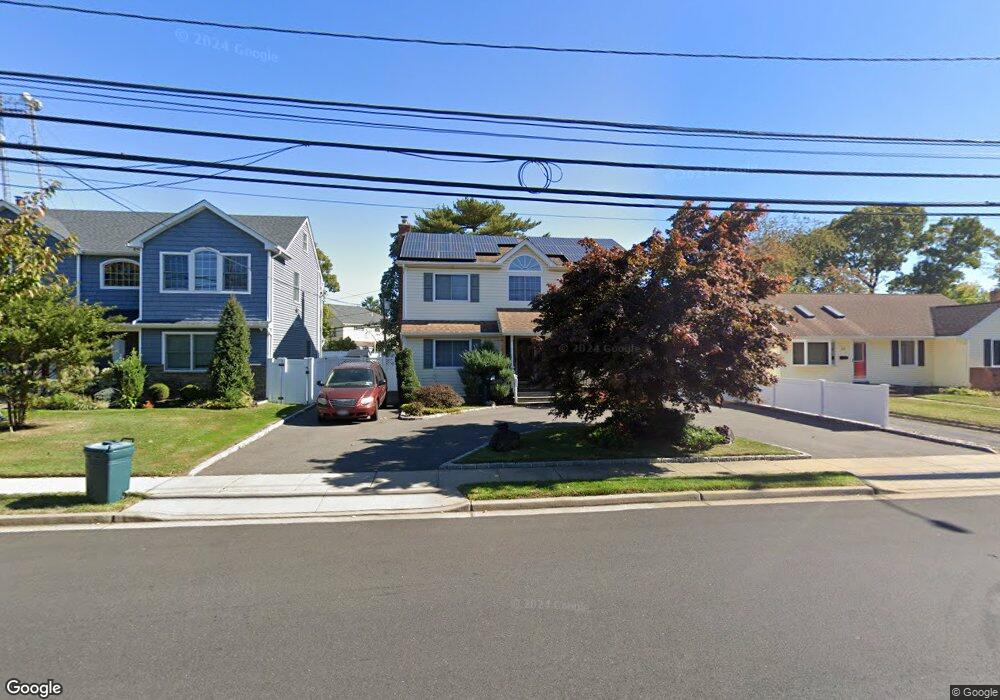
813 Oakfield Ave Wantagh, NY 11793
Estimated Value: $791,000 - $812,452
--
Bed
3
Baths
1,708
Sq Ft
$469/Sq Ft
Est. Value
About This Home
This home is located at 813 Oakfield Ave, Wantagh, NY 11793 and is currently estimated at $801,726, approximately $469 per square foot. 813 Oakfield Ave is a home located in Nassau County with nearby schools including Lee Road Elementary School, Jonas E. Salk Middle School, and Gen. Douglas MacArthur Senior High School.
Ownership History
Date
Name
Owned For
Owner Type
Purchase Details
Closed on
Aug 31, 2007
Sold by
Sherer David
Bought by
Goodnoff-Cernese Adam
Current Estimated Value
Purchase Details
Closed on
Apr 29, 1998
Purchase Details
Closed on
Apr 20, 1995
Sold by
Voegler Edward and Voegler Patricia
Bought by
Sherer David and Dreyer Christine
Home Financials for this Owner
Home Financials are based on the most recent Mortgage that was taken out on this home.
Original Mortgage
$90,000
Interest Rate
8.33%
Create a Home Valuation Report for This Property
The Home Valuation Report is an in-depth analysis detailing your home's value as well as a comparison with similar homes in the area
Home Values in the Area
Average Home Value in this Area
Purchase History
| Date | Buyer | Sale Price | Title Company |
|---|---|---|---|
| Goodnoff-Cernese Adam | $545,000 | -- | |
| -- | -- | -- | |
| Sherer David | $120,000 | -- |
Source: Public Records
Mortgage History
| Date | Status | Borrower | Loan Amount |
|---|---|---|---|
| Previous Owner | Sherer David | $90,000 |
Source: Public Records
Tax History Compared to Growth
Tax History
| Year | Tax Paid | Tax Assessment Tax Assessment Total Assessment is a certain percentage of the fair market value that is determined by local assessors to be the total taxable value of land and additions on the property. | Land | Improvement |
|---|---|---|---|---|
| 2025 | $15,676 | $533 | $232 | $301 |
| 2024 | $4,106 | $583 | $254 | $329 |
| 2023 | $14,878 | $583 | $254 | $329 |
| 2022 | $14,878 | $583 | $254 | $329 |
| 2021 | $19,495 | $555 | $242 | $313 |
| 2020 | $13,022 | $642 | $509 | $133 |
| 2019 | $11,478 | $706 | $560 | $146 |
| 2018 | $12,019 | $706 | $0 | $0 |
| 2017 | $7,674 | $706 | $560 | $146 |
| 2016 | $10,756 | $706 | $416 | $290 |
| 2015 | $3,036 | $745 | $439 | $306 |
| 2014 | $3,036 | $745 | $439 | $306 |
| 2013 | $3,634 | $951 | $560 | $391 |
Source: Public Records
Map
Nearby Homes
- 2758 Mayfield Place
- 2846 Walter Rd
- 899 Brent Dr
- 2906 Lawrence Dr
- 736 Bellmore Rd
- 886 Bellmore Ave
- 1010 Brent Dr
- 930 W Shelley Rd
- 985 Douglas Ave
- 2986 Valley Rd
- 646 Evelyn Ave
- 732 Woodside Dr
- 375 Loring Rd
- 875 Woodside Dr
- 858 Mayer Dr
- 2548 Columbus Ave
- 335 Loring Rd
- 2 Chase Ln
- 980 Siems Ct
- 19 Curve Ln
- 819 Oakfield Ave
- 807 Oakfield Ave
- 816 Brent Dr
- 825 Oakfield Ave
- 820 Brent Dr
- 801 Oakfield Ave
- 830 Oakfield Ave
- 812 Brent Dr
- 826 Brent Dr
- 831 Oakfield Ave
- 832 Brent Dr
- 806 Brent Dr
- 806 Brent Dr Unit House
- 843 Oakfield Ave
- 838 Oakfield Ave
- 2799 Glenn Rd
- 811 Brent Dr
- 831 Brent Dr
- 838 Oakfield Ave
- 842 Brent Dr