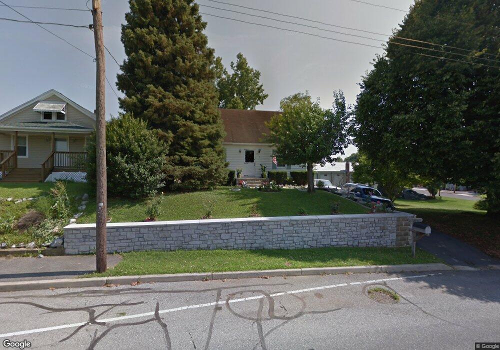
813 Security Rd Hagerstown, MD 21740
East End NeighborhoodEstimated Value: $264,000 - $348,000
3
Beds
2
Baths
1,452
Sq Ft
$204/Sq Ft
Est. Value
About This Home
This home is located at 813 Security Rd, Hagerstown, MD 21740 and is currently estimated at $295,733, approximately $203 per square foot. 813 Security Rd is a home located in Washington County with nearby schools including Pangborn Elementary School, Northern Middle School, and North Hagerstown High School.
Ownership History
Date
Name
Owned For
Owner Type
Purchase Details
Closed on
Feb 24, 2009
Sold by
Federal Home Loan Mortgage Corp
Bought by
Tyler Toney F and Marie Sela
Current Estimated Value
Purchase Details
Closed on
Jan 30, 2002
Sold by
Consoletti James J
Bought by
Wayne Wise William and Renee Penny
Create a Home Valuation Report for This Property
The Home Valuation Report is an in-depth analysis detailing your home's value as well as a comparison with similar homes in the area
Home Values in the Area
Average Home Value in this Area
Purchase History
| Date | Buyer | Sale Price | Title Company |
|---|---|---|---|
| Tyler Toney F | $130,000 | -- | |
| Federal Home Loan Mortgage Corp | $158,690 | -- | |
| Wayne Wise William | $133,300 | -- |
Source: Public Records
Mortgage History
| Date | Status | Borrower | Loan Amount |
|---|---|---|---|
| Closed | Wayne Wise William | -- |
Source: Public Records
Tax History
| Year | Tax Paid | Tax Assessment Tax Assessment Total Assessment is a certain percentage of the fair market value that is determined by local assessors to be the total taxable value of land and additions on the property. | Land | Improvement |
|---|---|---|---|---|
| 2025 | $2,289 | $287,700 | $41,500 | $246,200 |
| 2024 | $2,289 | $251,233 | $0 | $0 |
| 2023 | $1,957 | $214,767 | $0 | $0 |
| 2022 | $1,624 | $178,300 | $41,500 | $136,800 |
| 2021 | $1,453 | $167,200 | $0 | $0 |
| 2020 | $1,453 | $156,100 | $0 | $0 |
| 2019 | $1,356 | $145,000 | $41,500 | $103,500 |
| 2018 | $1,311 | $140,233 | $0 | $0 |
| 2017 | $1,267 | $135,467 | $0 | $0 |
| 2016 | -- | $130,700 | $0 | $0 |
| 2015 | -- | $130,700 | $0 | $0 |
| 2014 | $3,913 | $130,700 | $0 | $0 |
Source: Public Records
Map
Nearby Homes
- 466 Pangborn Blvd
- 43 Sunbrook Ln Unit 6
- 713 Medway Rd
- 747 Monet Dr
- 319 Sunbrook Ln Unit 98
- 761 Jefferson Blvd
- 946 Monet Dr
- 250 Sunbrook Ln Unit 132
- 613 Westwood St
- 1001 Jefferson Blvd
- 939 View St
- 528 Jefferson St
- 953 View St
- 838 Mulberry Ave
- 629 N Mulberry St
- 522 N Mulberry St
- 1056 Valleybrook Dr
- 120 E Irvin Ave
- 109 111 Fairground Ave
- 101 N Cleveland Ave
Your Personal Tour Guide
Ask me questions while you tour the home.