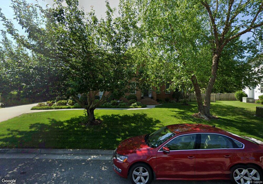
813 Sparks Trace Chesapeake, VA 23322
Pleasant Grove West NeighborhoodEstimated Value: $752,937 - $814,000
6
Beds
3
Baths
3,500
Sq Ft
$221/Sq Ft
Est. Value
About This Home
This home is located at 813 Sparks Trace, Chesapeake, VA 23322 and is currently estimated at $773,984, approximately $221 per square foot. 813 Sparks Trace is a home located in Chesapeake City with nearby schools including Butts Road Primary School, Butts Road Intermediate School, and Hickory Middle School.
Ownership History
Date
Name
Owned For
Owner Type
Purchase Details
Closed on
Jun 1, 2016
Sold by
The Michael K O'Sullivan Revocable Livin
Bought by
Kohler Natasha L and Kohler Michael A
Current Estimated Value
Purchase Details
Closed on
Mar 12, 2001
Sold by
Executive Homes Corp Of V
Bought by
O'Sullivan Michael K
Home Financials for this Owner
Home Financials are based on the most recent Mortgage that was taken out on this home.
Original Mortgage
$249,650
Interest Rate
7.01%
Create a Home Valuation Report for This Property
The Home Valuation Report is an in-depth analysis detailing your home's value as well as a comparison with similar homes in the area
Home Values in the Area
Average Home Value in this Area
Purchase History
| Date | Buyer | Sale Price | Title Company |
|---|---|---|---|
| Kohler Natasha L | $446,500 | None Available | |
| O'Sullivan Michael K | $277,500 | -- |
Source: Public Records
Mortgage History
| Date | Status | Borrower | Loan Amount |
|---|---|---|---|
| Previous Owner | O'Sullivan Michael K | $249,650 |
Source: Public Records
Tax History Compared to Growth
Tax History
| Year | Tax Paid | Tax Assessment Tax Assessment Total Assessment is a certain percentage of the fair market value that is determined by local assessors to be the total taxable value of land and additions on the property. | Land | Improvement |
|---|---|---|---|---|
| 2025 | $6,492 | $674,000 | $195,000 | $479,000 |
| 2024 | $6,492 | $642,800 | $195,000 | $447,800 |
| 2023 | $5,707 | $618,100 | $185,000 | $433,100 |
| 2022 | $5,742 | $568,500 | $160,000 | $408,500 |
| 2021 | $5,101 | $485,800 | $150,000 | $335,800 |
| 2020 | $4,986 | $474,900 | $140,000 | $334,900 |
| 2019 | $4,785 | $455,700 | $140,000 | $315,700 |
| 2018 | $4,742 | $451,600 | $140,000 | $311,600 |
| 2017 | $4,619 | $439,900 | $140,000 | $299,900 |
| 2016 | $4,566 | $434,900 | $132,000 | $302,900 |
| 2015 | $4,433 | $422,200 | $122,000 | $300,200 |
| 2014 | $4,433 | $422,200 | $122,000 | $300,200 |
Source: Public Records
Map
Nearby Homes
- 808 Leleon Ct
- 1209 Clearwater Ln
- 1008 Broward Way
- 633 Denham Arch
- 1218 Pacels Way
- 1400 Fentress Rd
- 1008 Eddington Ct
- 714 Helen Ave
- 1232 New Born Ct
- 602 Captain Cooke Way
- 1213 Lakeford Place
- .65ac Simons Ln
- 701 Wild Cherry Ct
- 718 Beckley Ln
- 700 Hilda Pine Dr
- 1108 Mcsherry Ct
- 1116 Murray Dr
- 1200 Lingale Ct
- 539 Currituck Dr
- 829 Donnington Dr
- 809 Sparks Trace
- 817 Sparks Trace
- 808 Sparks Trace
- 805 Sparks Trace
- 821 Sparks Trace
- 804 Sparks Trace
- 820 Sparks Trace
- 801 Sparks Trace
- 809 Elias Ct
- 1325 Meggett Dr
- 804 Ponce Ct
- 1631 Clearwater Ln
- 1635 Clearwater Ln
- 1639 Clearwater Ln
- 1335 Meggett Dr
- 805 Elias Ct
- 824 Sparks Trace
- 802 Morven Ct
- 808 Ponce Ct
- 812 Elias Ct