8133 Mcclain Rd West Liberty, OH 43357
Estimated Value: $146,000 - $265,000
3
Beds
1
Bath
1,389
Sq Ft
$132/Sq Ft
Est. Value
About This Home
This home is located at 8133 Mcclain Rd, West Liberty, OH 43357 and is currently estimated at $183,213, approximately $131 per square foot. 8133 Mcclain Rd is a home located in Champaign County with nearby schools including West Liberty-Salem Elementary School and West Liberty-Salem Middle/High School.
Ownership History
Date
Name
Owned For
Owner Type
Purchase Details
Closed on
Nov 5, 2024
Sold by
Mcclain Theodore L and Mcclain Ted
Bought by
Mcclain Stephanie A
Current Estimated Value
Purchase Details
Closed on
Jan 30, 2002
Sold by
Mcclain Richard
Bought by
Mcclain Ted and Mcclain Stephanie A
Home Financials for this Owner
Home Financials are based on the most recent Mortgage that was taken out on this home.
Original Mortgage
$47,761
Interest Rate
7.26%
Mortgage Type
New Conventional
Create a Home Valuation Report for This Property
The Home Valuation Report is an in-depth analysis detailing your home's value as well as a comparison with similar homes in the area
Home Values in the Area
Average Home Value in this Area
Purchase History
| Date | Buyer | Sale Price | Title Company |
|---|---|---|---|
| Mcclain Stephanie A | -- | None Listed On Document | |
| Mcclain Stephanie A | -- | None Listed On Document | |
| Mcclain Ted | $47,000 | -- |
Source: Public Records
Mortgage History
| Date | Status | Borrower | Loan Amount |
|---|---|---|---|
| Previous Owner | Mcclain Ted | $47,761 |
Source: Public Records
Tax History Compared to Growth
Tax History
| Year | Tax Paid | Tax Assessment Tax Assessment Total Assessment is a certain percentage of the fair market value that is determined by local assessors to be the total taxable value of land and additions on the property. | Land | Improvement |
|---|---|---|---|---|
| 2024 | $1,291 | $34,180 | $10,170 | $24,010 |
| 2023 | $1,290 | $34,180 | $10,170 | $24,010 |
| 2022 | $1,295 | $34,180 | $10,170 | $24,010 |
| 2021 | $1,108 | $27,350 | $8,140 | $19,210 |
| 2020 | $1,108 | $27,350 | $8,140 | $19,210 |
| 2019 | $1,095 | $27,350 | $8,140 | $19,210 |
| 2018 | $881 | $22,310 | $7,440 | $14,870 |
| 2017 | $868 | $22,310 | $7,440 | $14,870 |
| 2016 | $842 | $22,310 | $7,440 | $14,870 |
| 2015 | $770 | $21,670 | $7,440 | $14,230 |
| 2014 | $771 | $21,670 | $7,440 | $14,230 |
| 2013 | $764 | $21,670 | $7,440 | $14,230 |
Source: Public Records
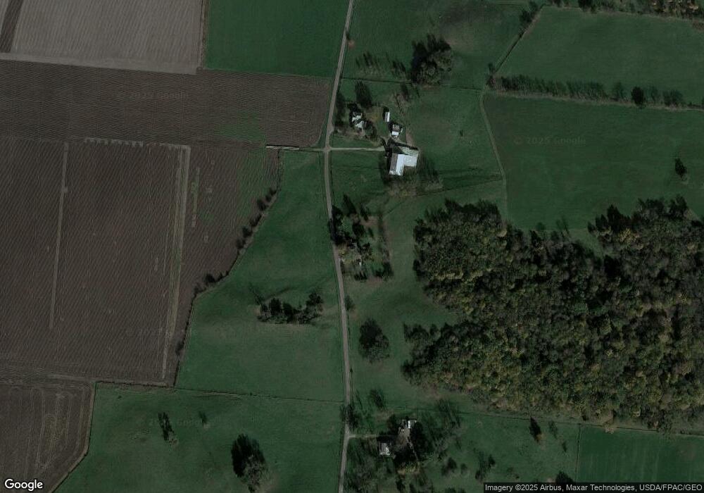
Map
Nearby Homes
- 7885 N Ludlow Rd
- 116 E Newell St
- 215 N Detroit St
- 308 Reynolds St
- 619 W Baird St
- 414 N Detroit St
- 512 W Columbus St
- Lot 1 County Road 1
- 0 County Road 189
- . Co Rd 189
- 4416 N US Highway 68
- 5714 Hickory Dr
- 5197 County Road 1
- 0 N Ludlow Rd
- Lot 2 N Ludlow Rd
- 10590 County Road 41
- 1010 W Herr Rd
- 1324 Kennard Kingscreek Rd
- 129 Tanglewood Dr
- 4164 County Road 1
- 8233 Mcclain Rd
- 7971 Mcclain Rd
- 8493 Mcclain Rd
- 7713 Mcclain Rd
- 1249 State Route 507
- 7640 Mcclain Rd
- 768 State Route 507
- 8651 Mcclain Rd
- 1373 State Route 507
- 1338 State Route 507
- 8435 Liberty Trace Ln
- 1236 Ohio 507
- Lot#9 Spli Liberty Trace Ln
- Lot #3 Liberty Trace Ln
- 1448 State Route 507
- 905 Mennonite Church Rd
- 668 Mennonite Church Rd
- 1102 Mennonite Church Rd
- 1236 State Route 507
- 1041 Mennonite Church Rd