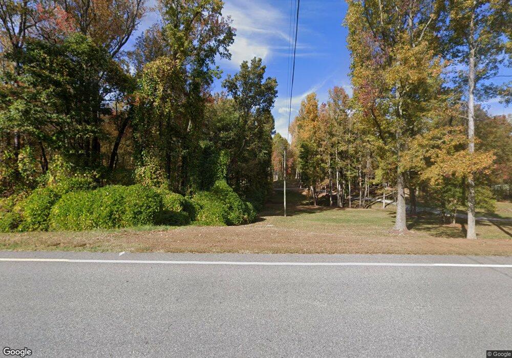
8136 Highway 129 N Cleveland, GA 30528
Estimated Value: $155,000 - $389,000
3
Beds
2
Baths
1,440
Sq Ft
$182/Sq Ft
Est. Value
About This Home
This home is located at 8136 Highway 129 N, Cleveland, GA 30528 and is currently estimated at $262,139, approximately $182 per square foot. 8136 Highway 129 N is a home located in White County with nearby schools including Tesnatee Gap Elementary (Old White County Intermediate), White County 9th Grade Academy, and Jack P. Nix Elementary School.
Ownership History
Date
Name
Owned For
Owner Type
Purchase Details
Closed on
Jul 6, 2023
Sold by
Postell Shane Dwight
Bought by
Sdp Highway 129 Llc
Current Estimated Value
Purchase Details
Closed on
Jul 1, 2022
Sold by
Bennett Samuel Ellis
Bought by
Postell Shane Dwight
Purchase Details
Closed on
Oct 18, 2017
Sold by
Bennett Douglas E
Bought by
Bennett Samuel Ellis
Home Financials for this Owner
Home Financials are based on the most recent Mortgage that was taken out on this home.
Original Mortgage
$30,380
Interest Rate
3.83%
Mortgage Type
New Conventional
Create a Home Valuation Report for This Property
The Home Valuation Report is an in-depth analysis detailing your home's value as well as a comparison with similar homes in the area
Home Values in the Area
Average Home Value in this Area
Purchase History
| Date | Buyer | Sale Price | Title Company |
|---|---|---|---|
| Sdp Highway 129 Llc | -- | -- | |
| Postell Shane Dwight | $110,000 | -- | |
| Bennett Samuel Ellis | $60,000 | -- |
Source: Public Records
Mortgage History
| Date | Status | Borrower | Loan Amount |
|---|---|---|---|
| Previous Owner | Bennett Samuel Ellis | $30,380 |
Source: Public Records
Tax History Compared to Growth
Tax History
| Year | Tax Paid | Tax Assessment Tax Assessment Total Assessment is a certain percentage of the fair market value that is determined by local assessors to be the total taxable value of land and additions on the property. | Land | Improvement |
|---|---|---|---|---|
| 2025 | $892 | $57,120 | $57,120 | $0 |
| 2024 | $892 | $42,840 | $42,840 | $0 |
| 2023 | $864 | $38,080 | $38,080 | $0 |
| 2022 | $810 | $34,136 | $32,912 | $1,224 |
| 2021 | $882 | $32,908 | $31,824 | $1,084 |
| 2020 | $868 | $30,836 | $29,836 | $1,000 |
| 2019 | $871 | $30,836 | $29,836 | $1,000 |
| 2018 | $678 | $24,000 | $23,000 | $1,000 |
| 2017 | $517 | $31,156 | $27,848 | $3,308 |
| 2016 | $517 | $31,156 | $27,848 | $3,308 |
| 2015 | $450 | $73,030 | $25,856 | $3,356 |
| 2014 | $448 | $73,310 | $0 | $0 |
Source: Public Records
Map
Nearby Homes
- 0 Harkins Rd Unit 10533789
- 0 Harkins Rd Unit 7588388
- 7306 Highway 129 N
- 257 Foot Hills Dr
- 113 Terrace Cir
- 104 Terrace Cir
- 39 Terrace Cir
- 26 Terrace Cir
- 181 Creekview Dr
- 91 Brookside Dr
- 158 Creekview Dr
- 117 Foot Hills Dr
- 169 Wild Horse Cove Cir
- 132 Wild Horse Cove Cir
- 0 Paradise Valley Rd Unit 10468779
- 88 Fishtail Cir
- 457 Celie Ann Seabolt Rd
- 136 Gold Ditch Rd
- 129 Fishtail Cir
- 8136 Highway 129 N
- 75 Harkins Rd
- 8101 Highway 129 N
- 0 Harkins Rd
- 00 Harkins Rd
- 0 Harkins Rd Unit 7289108
- 0 Harkins Rd Unit 10213545
- 0 Harkins Rd Unit 7329137
- 0 Harkins Rd Unit 7283425
- 0 Harkins Rd Unit 7416610
- 0 Harkins Rd Unit 2587343
- 0 Harkins Rd Unit 3160832
- 0 Harkins Rd Unit 7017708
- 0 Harkins Rd Unit 9040384
- 0 Harkins Rd Unit 8523836
- 0 Harkins Rd Unit 8757938
- 38 Antioch Church Rd
- 347 Antioch Church Rd
- 920 Robert Jarrard Rd
- 22 Antioch Church Rd
