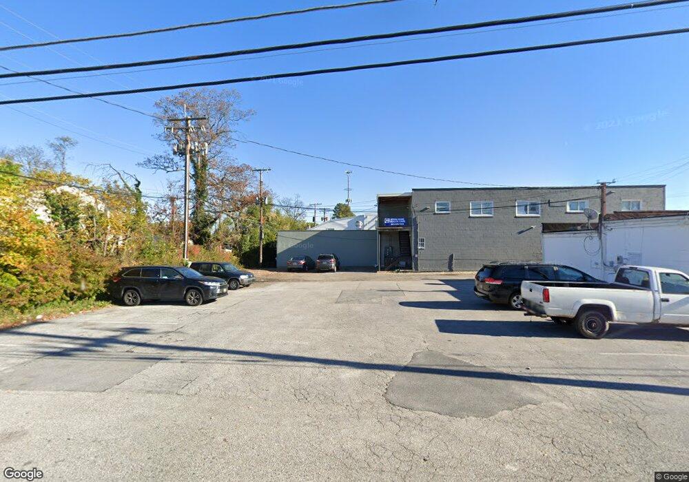
8136 Liberty Rd Unit C Baltimore, MD 21244
Estimated Value: $1,048,044
Studio
--
Bath
6,162
Sq Ft
$170/Sq Ft
Est. Value
About This Home
This home is located at 8136 Liberty Rd Unit C, Baltimore, MD 21244 and is currently estimated at $1,048,044, approximately $170 per square foot. 8136 Liberty Rd Unit C is a home located in Baltimore County with nearby schools including Scotts Branch Elementary School, Northwest Academy of Health Sciences, and Milford Mill Academy.
Ownership History
Date
Name
Owned For
Owner Type
Purchase Details
Closed on
Sep 14, 2016
Sold by
Martin Diana
Bought by
Badlia Properties Llc
Current Estimated Value
Home Financials for this Owner
Home Financials are based on the most recent Mortgage that was taken out on this home.
Original Mortgage
$450,000
Interest Rate
3.89%
Mortgage Type
Commercial
Purchase Details
Closed on
Sep 18, 2001
Sold by
Whittingham Howard J
Bought by
Whittingham Lucillej and Martin Diana
Create a Home Valuation Report for This Property
The Home Valuation Report is an in-depth analysis detailing your home's value as well as a comparison with similar homes in the area
Home Values in the Area
Average Home Value in this Area
Purchase History
| Date | Buyer | Sale Price | Title Company |
|---|---|---|---|
| Badlia Properties Llc | $650,000 | Quantum Title Corp | |
| Whittingham Lucillej | -- | -- |
Source: Public Records
Mortgage History
| Date | Status | Borrower | Loan Amount |
|---|---|---|---|
| Previous Owner | Badlia Properties Llc | $450,000 |
Source: Public Records
Tax History
| Year | Tax Paid | Tax Assessment Tax Assessment Total Assessment is a certain percentage of the fair market value that is determined by local assessors to be the total taxable value of land and additions on the property. | Land | Improvement |
|---|---|---|---|---|
| 2025 | $9,962 | $634,100 | -- | -- |
| 2024 | $9,962 | $607,100 | $205,000 | $402,100 |
| 2023 | $4,845 | $607,100 | $205,000 | $402,100 |
| 2022 | $9,255 | $607,100 | $205,000 | $402,100 |
| 2021 | $7,442 | $607,100 | $205,000 | $402,100 |
| 2020 | $7,442 | $503,500 | $0 | $0 |
| 2019 | $5,910 | $399,900 | $0 | $0 |
| 2018 | $4,600 | $296,300 | $205,000 | $91,300 |
| 2017 | $4,536 | $294,333 | $0 | $0 |
| 2016 | $4,447 | $292,367 | $0 | $0 |
| 2015 | $4,447 | $290,400 | $0 | $0 |
| 2014 | $4,447 | $290,400 | $0 | $0 |
Source: Public Records
Map
Nearby Homes
- 3528 Millvale Rd
- 8206 Kirk Farm Cir
- 3508 Joann Dr
- 3859 Twin Lakes Ct
- 3412 Mayfield Ave
- 3910 Squire Tuck Way
- 8314 Tinsley Rd
- 8400 Liberty Rd
- 3621 Clifmar Rd
- 8 Rocky Ln
- 3661 Clifmar Rd
- 3700 Crossleigh Ct
- 3924 Rolling Rd
- 3924 Rolling Rd
- 3715 Washington Ave
- 8011 Remington Ave
- 7410 Castlemoor Rd
- 7801 Gaywood Cir
- 3542 Lynne Haven Dr
- 3413 Barkley Woods Rd
- 8136 Liberty Rd
- 8138 Liberty Rd
- 8134 Liberty Rd
- 8140 Liberty Rd
- 3605 Langrehr Rd
- 3607 Langrehr Rd
- 3610 Eitemiller Rd
- 8139 Liberty Rd
- 8130 Liberty Rd
- 3609 Langrehr Rd
- 8200 Liberty Rd
- 3612 Eitemiller Rd
- 3604 Langrehr Rd
- 3613 Eitemiller Rd
- 8121 Liberty Rd
- 3611 Langrehr Rd
- 8124 Liberty Rd
- 3606 Langrehr Rd
- 3614 Eitemiller Rd
- 3517 Langrehr Rd
Your Personal Tour Guide
Ask me questions while you tour the home.