8138 Cedar Fork Rd Ruther Glen, VA 22546
Estimated Value: $483,000 - $878,278
3
Beds
3
Baths
1,840
Sq Ft
$370/Sq Ft
Est. Value
About This Home
This home is located at 8138 Cedar Fork Rd, Ruther Glen, VA 22546 and is currently estimated at $680,639, approximately $369 per square foot. 8138 Cedar Fork Rd is a home with nearby schools including Caroline Middle School, Caroline High School, and The Carmel School.
Ownership History
Date
Name
Owned For
Owner Type
Purchase Details
Closed on
May 19, 2020
Sold by
Terrell Ernest Wildon
Bought by
Morris Joseph Christopher and Morris Dana Michelle
Current Estimated Value
Home Financials for this Owner
Home Financials are based on the most recent Mortgage that was taken out on this home.
Original Mortgage
$110,000
Outstanding Balance
$97,475
Interest Rate
3.3%
Mortgage Type
Credit Line Revolving
Estimated Equity
$583,164
Purchase Details
Closed on
Feb 27, 2015
Sold by
Terrell Melanie J and Moore Melinda T
Bought by
Terrell Ernest Wildon
Create a Home Valuation Report for This Property
The Home Valuation Report is an in-depth analysis detailing your home's value as well as a comparison with similar homes in the area
Home Values in the Area
Average Home Value in this Area
Purchase History
| Date | Buyer | Sale Price | Title Company |
|---|---|---|---|
| Morris Joseph Christopher | $160,000 | None Available | |
| Terrell Ernest Wildon | -- | -- |
Source: Public Records
Mortgage History
| Date | Status | Borrower | Loan Amount |
|---|---|---|---|
| Open | Morris Joseph Christopher | $110,000 |
Source: Public Records
Tax History Compared to Growth
Tax History
| Year | Tax Paid | Tax Assessment Tax Assessment Total Assessment is a certain percentage of the fair market value that is determined by local assessors to be the total taxable value of land and additions on the property. | Land | Improvement |
|---|---|---|---|---|
| 2025 | $572,726 | $743,800 | $315,500 | $428,300 |
| 2024 | $3,037 | $394,400 | $163,600 | $230,800 |
| 2023 | $3,037 | $394,400 | $163,600 | $230,800 |
| 2022 | $3,037 | $394,400 | $163,600 | $230,800 |
| 2021 | $882 | $114,600 | $114,600 | $0 |
| 2020 | $177 | $116,200 | $116,200 | $0 |
| 2019 | $177 | $116,200 | $116,200 | $0 |
| 2018 | $177 | $116,200 | $116,200 | $0 |
| 2017 | $177 | $116,200 | $116,200 | $0 |
| 2016 | $175 | $116,200 | $116,200 | $0 |
| 2015 | -- | $116,200 | $116,200 | $0 |
| 2014 | -- | $116,200 | $116,200 | $0 |
Source: Public Records
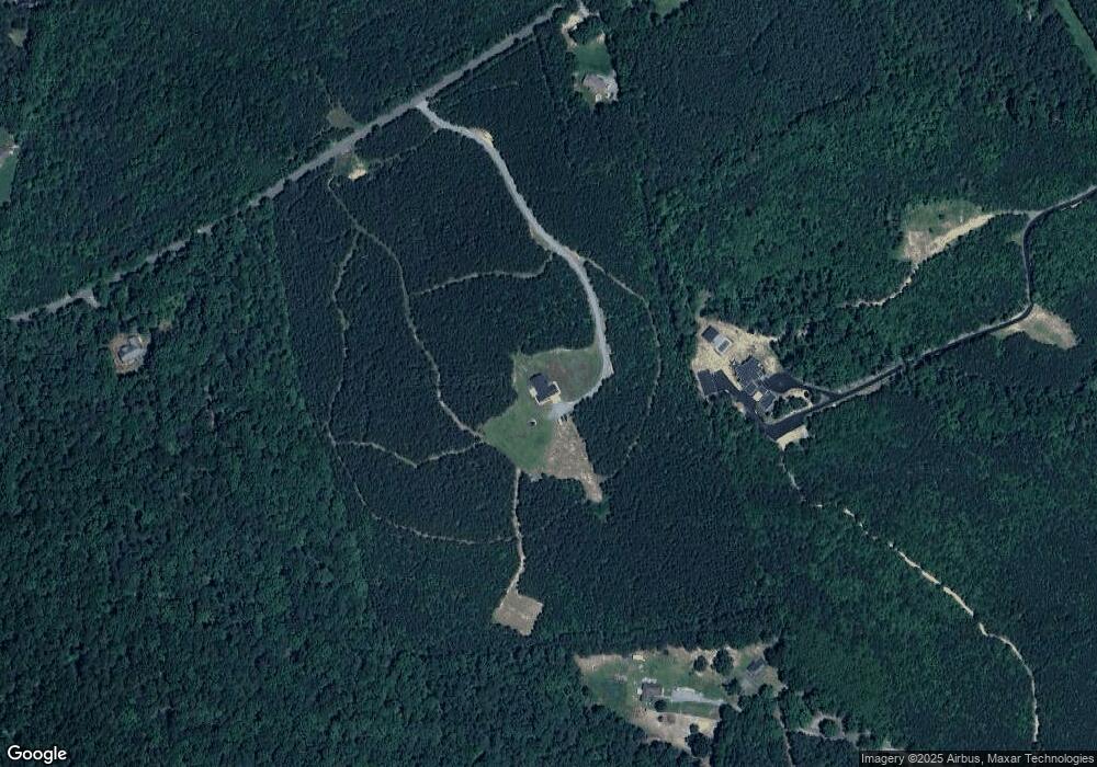
Map
Nearby Homes
- 6 Stafford Cove
- 129 Lake Caroline Dr
- 247 Tranquility Dr
- 68 Saratoga Cove
- None U S Route 1
- 771 Lake Caroline Dr
- 308 Constitution Dr
- 20 Lake Caroline Dr
- 203 Lake Caroline Dr
- 7120 Iron Gall Ln
- 210 Lake Caroline Dr
- 686 Lake Caroline Dr
- 723 Lake Caroline Dr
- 219 Hamilton Dr
- 311 Senate Dr
- 205 Clinton Dr
- 401 Loyalist Dr
- 8 Rutledge Cove
- 163 American Dr
- 502 Smith Dr
- 0 Palace Green Rd
- 8321 Hillcrest Dr
- 8327 Hillcrest Dr
- 8064 Cedar Fork Rd
- 21042 Us Route 1 Hwy
- 8220 Cedar Fork Rd
- 8305 Hillcrest Dr
- 0 Tranquility Dr Unit CV6492471
- 20452 Jefferson Davis Hwy
- 8 Stafford Cove
- 21170 Jefferson Davis Hwy
- 8283 Hillcrest Dr
- 8344 Hillcrest Dr
- 7 Stafford Cove
- 4 Stafford Cove
- 2 Stafford Cove
- 106 Bunker Hill Dr
- 5 Stafford Cove
- 8259 Hillcrest Dr